


14-26-03
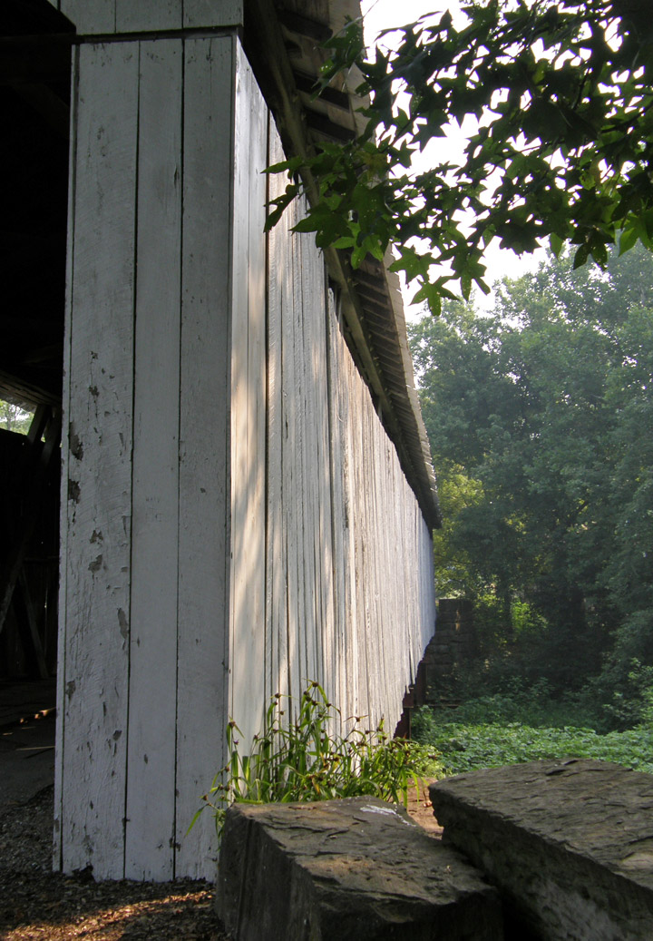
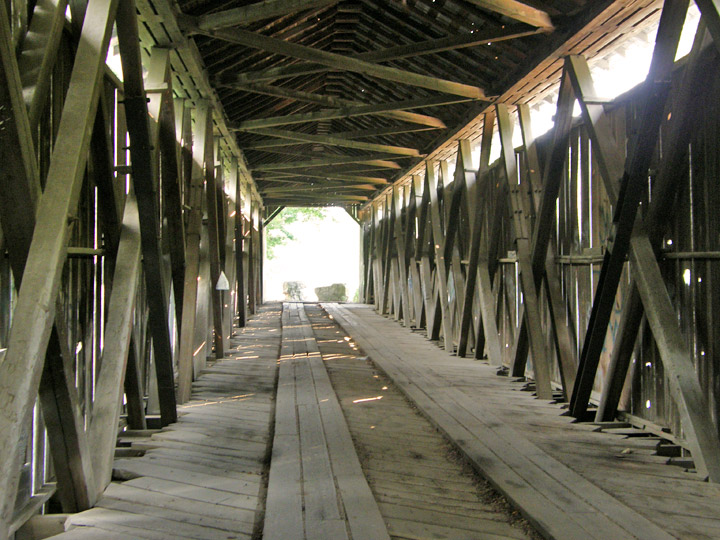
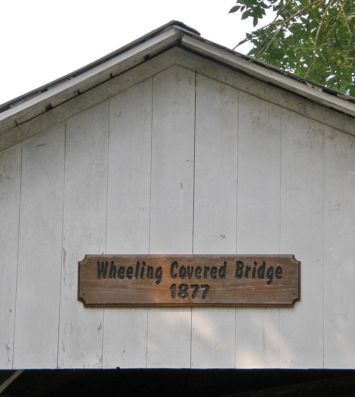
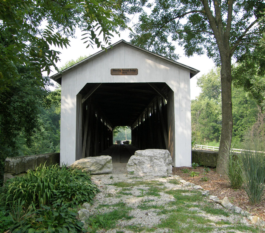
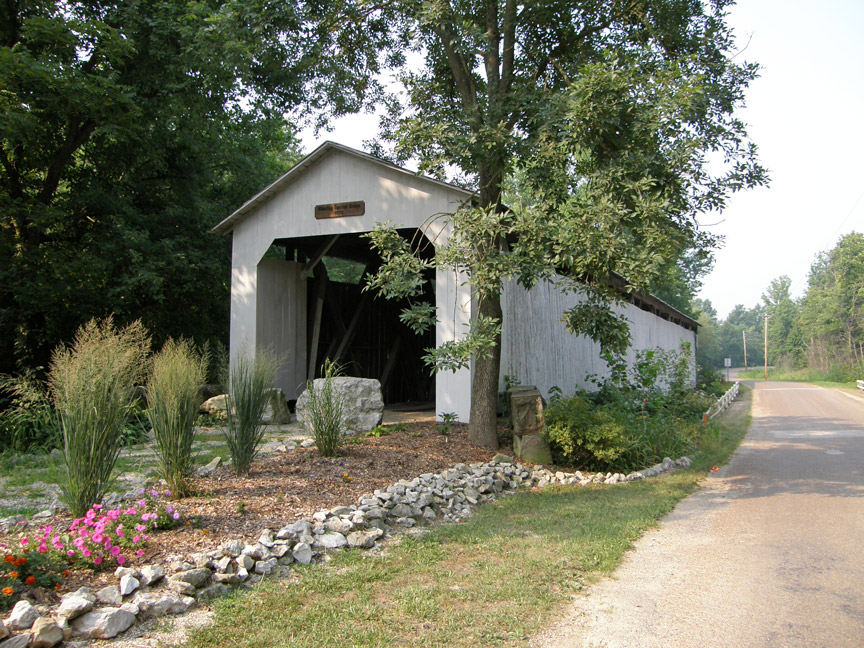
Wheeling Covered Bridge
Gibson County
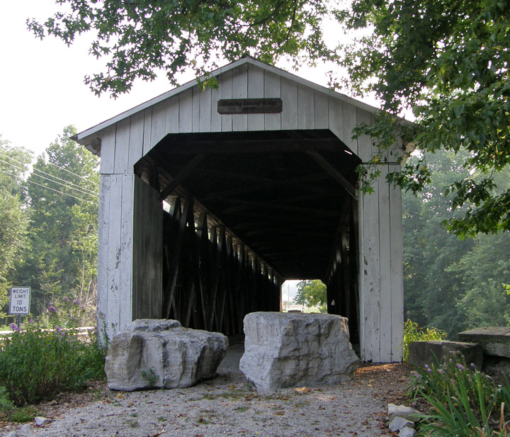
Wheeling Covered Bridge
GPS
N38 24.71
W87 27.44
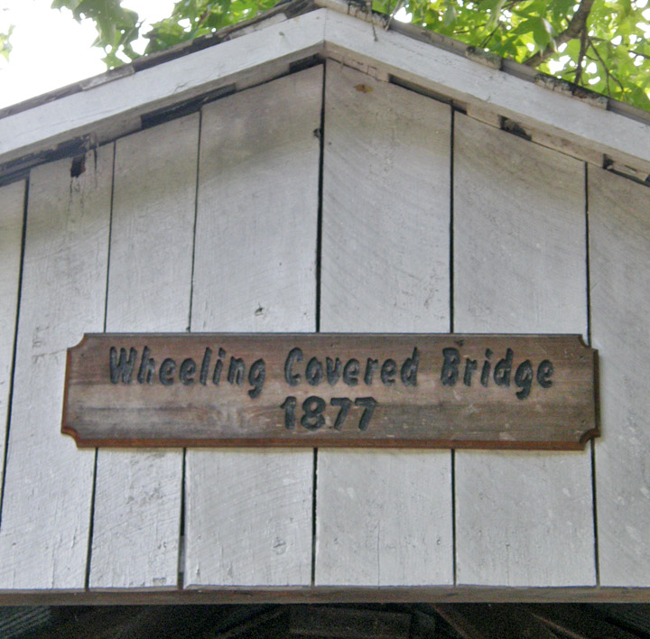
built in 1877 by William T. Washer
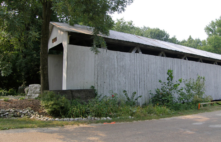
150 foot span plus a 9 foot overhang at each end
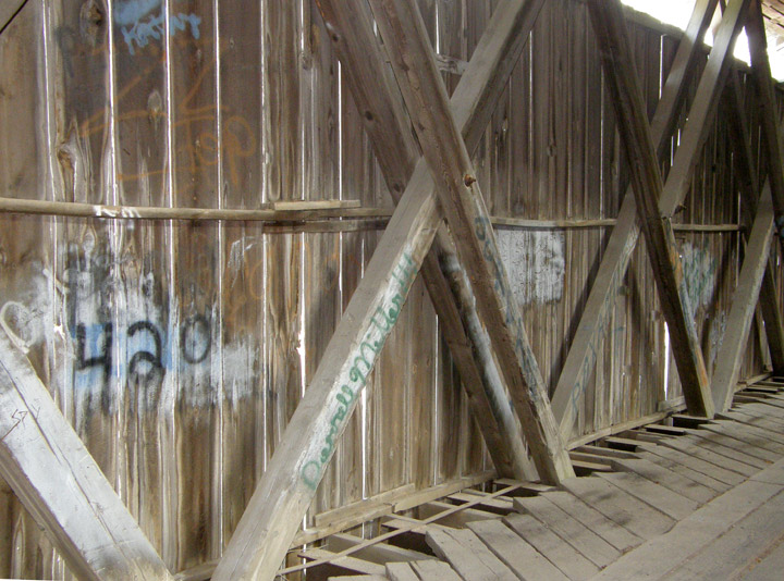
Smith #4 Truss
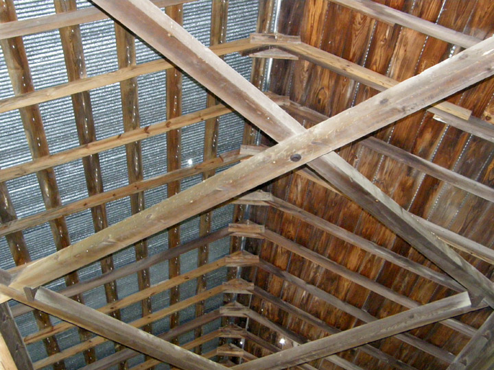
one side of roof now just corrugated metal
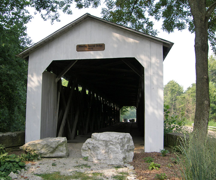

Patoka River
Map of
Latitude: 38.4118
Longitude: -87.4573