


14-36-02
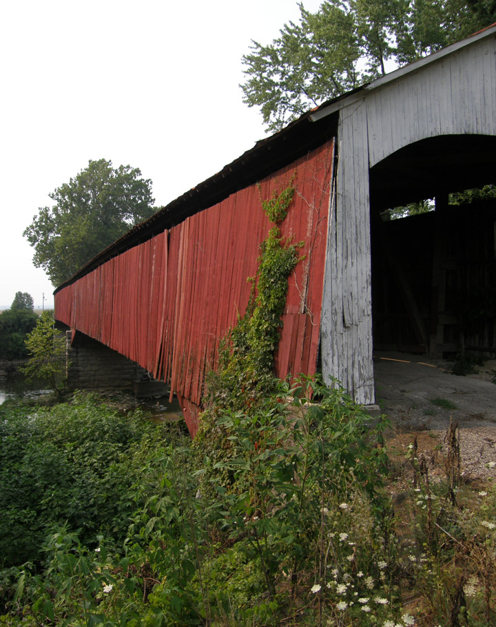
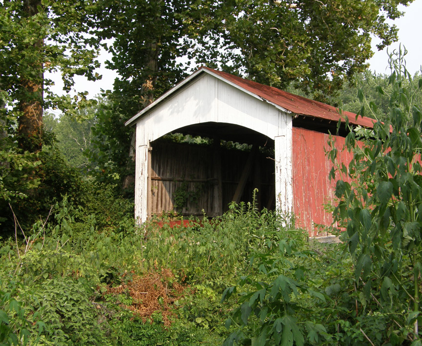
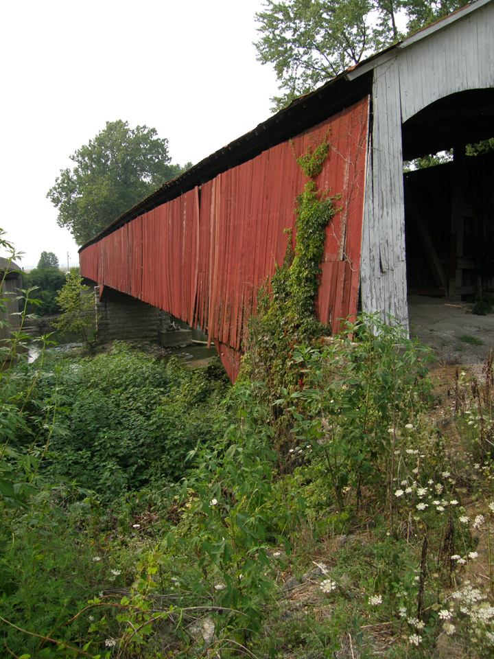
Shieldstown Covered Bridge
Jackson County
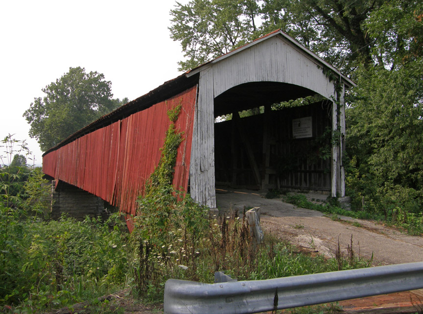
Shieldstown Covered Bridge
GPS
N38 54.92
W86 00.17
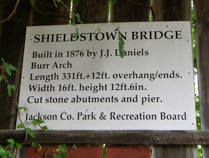
built in 1876 by Joseph J. Daniels
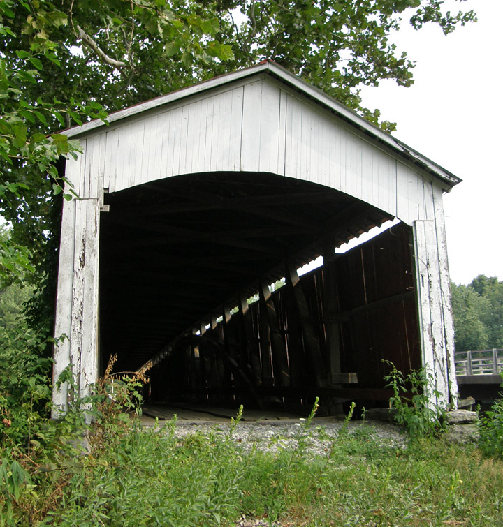
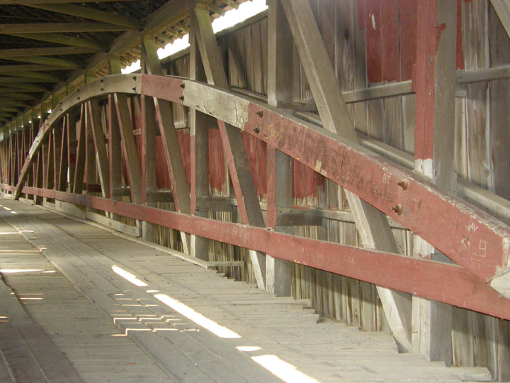
Burr Arch
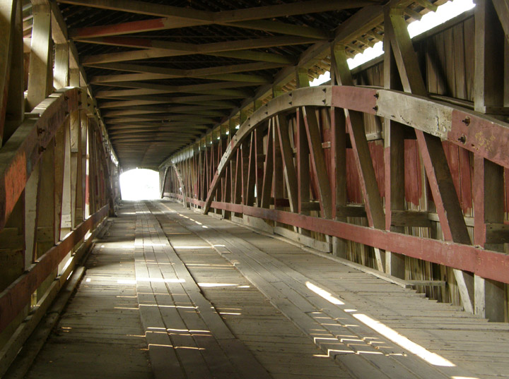
331 foot span, plus two six foot overhangs
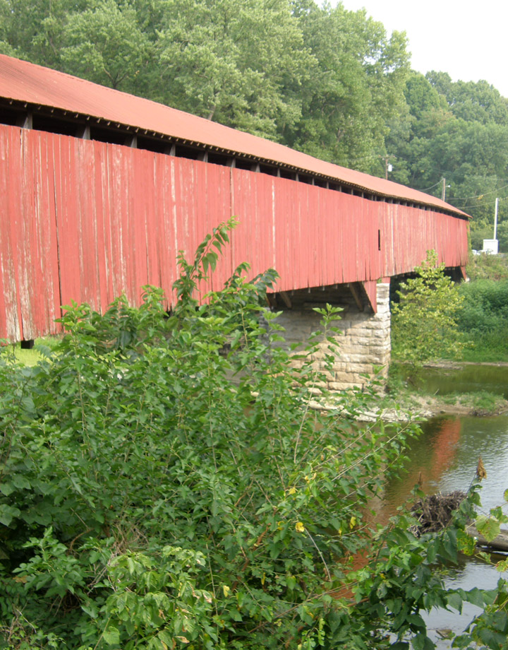
East fork of the White River
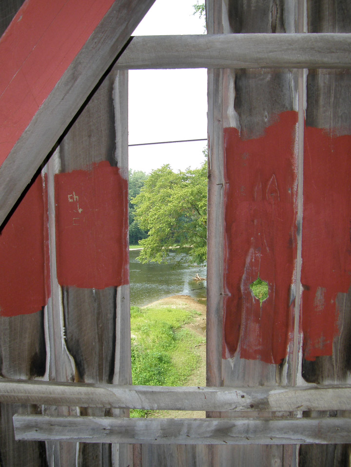
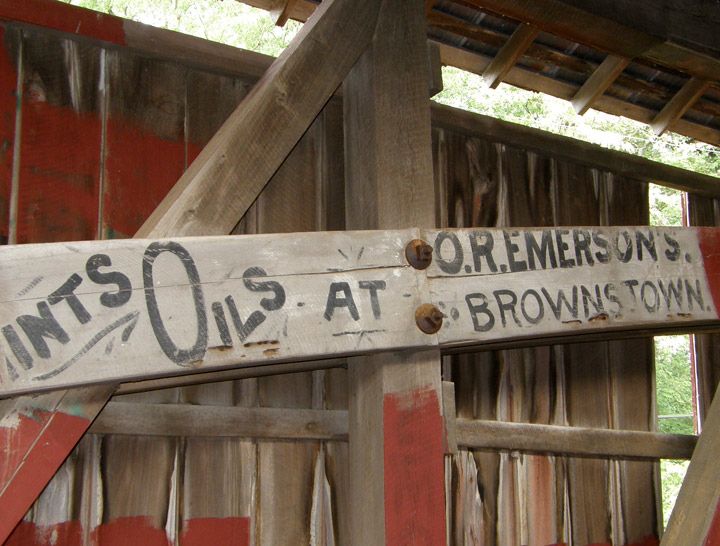
old advertisements
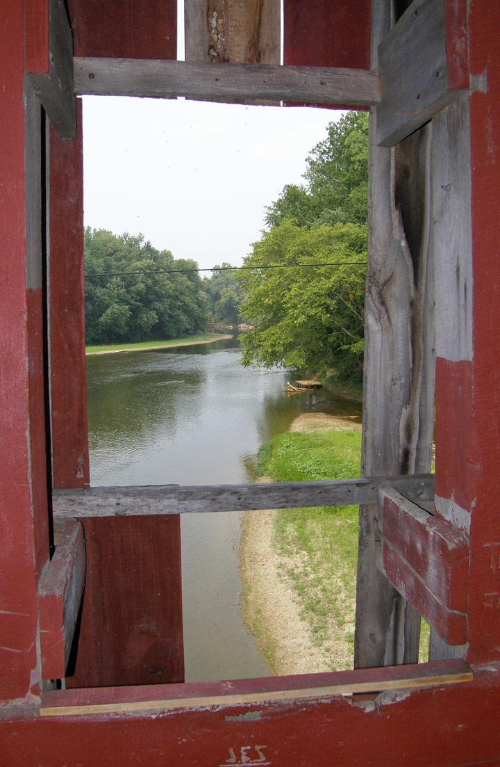
view of the river
Latitude: 38.9153
Longitude: -86.0028
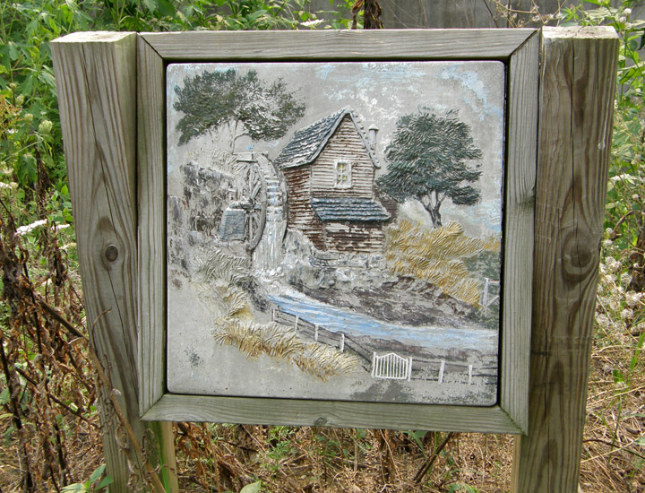
Art work showing the old mill
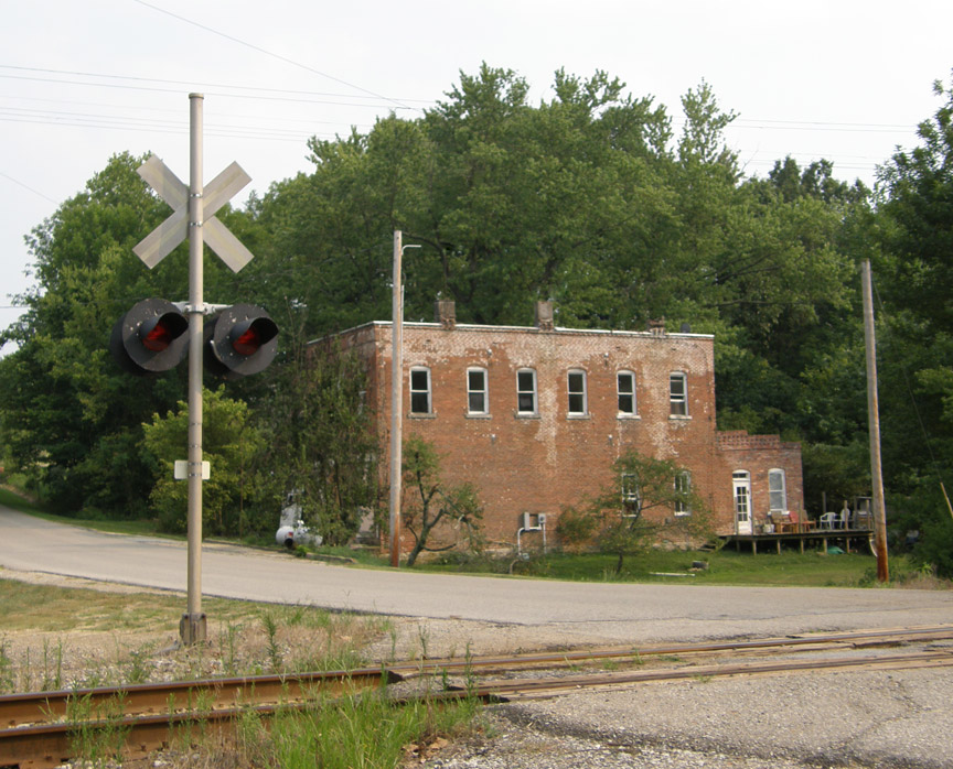
the nearby rail line