


14-83-04
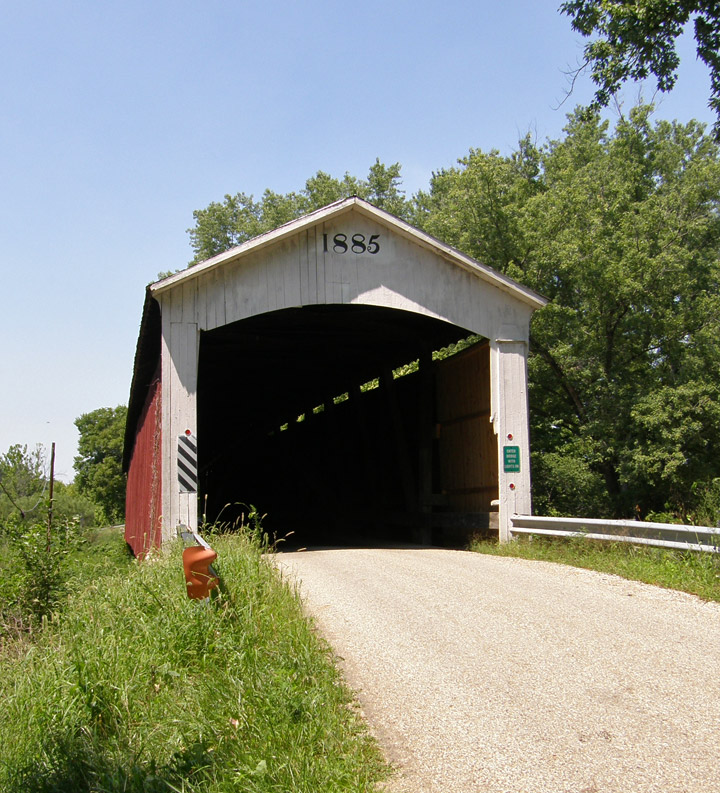
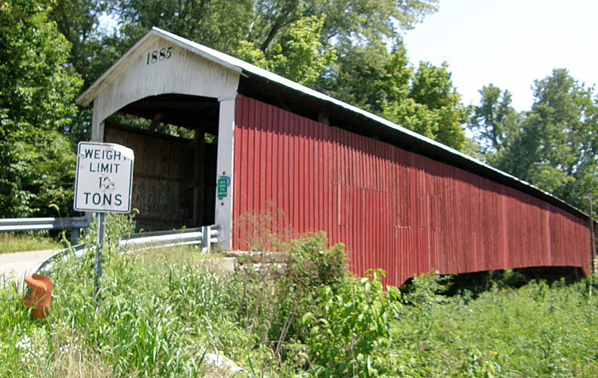
Newport Covered Bridge
Vermillion County

Newport Covered Bridge
GPS
N39 53.48
W87 26.00
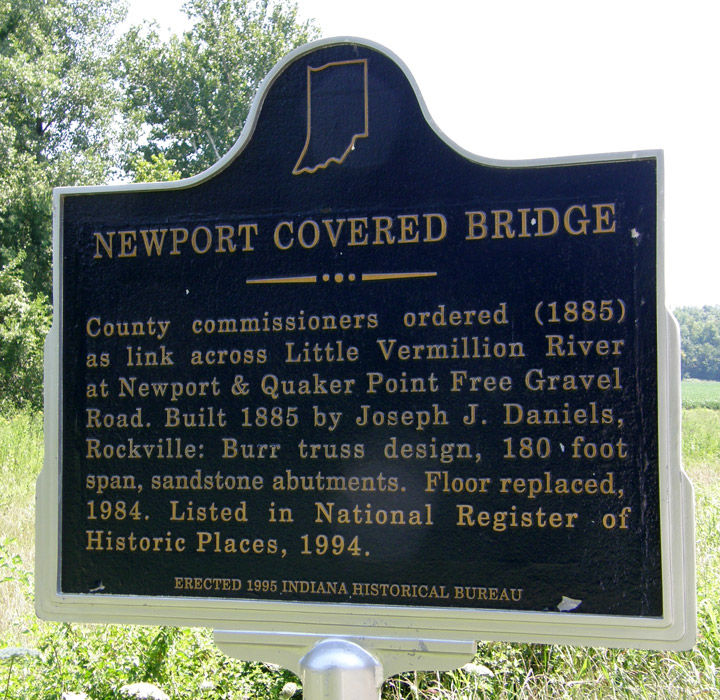
built in 1885 by Joseph J. Daniels
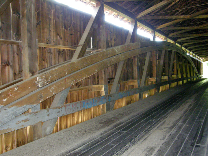
Burr Truss
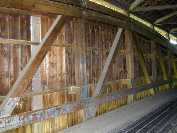
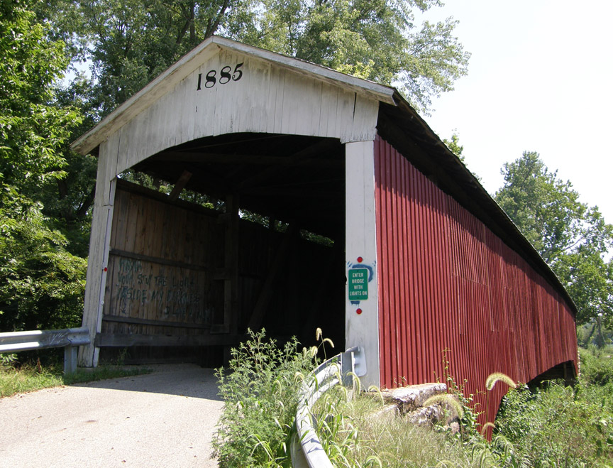
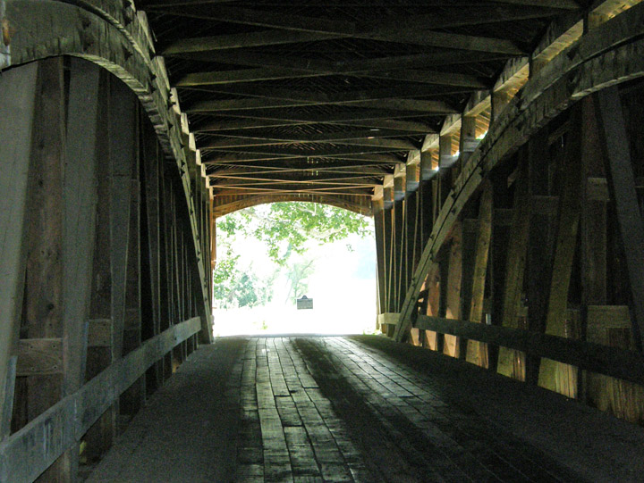
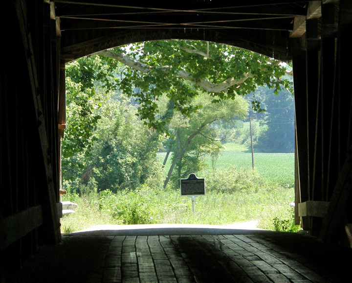
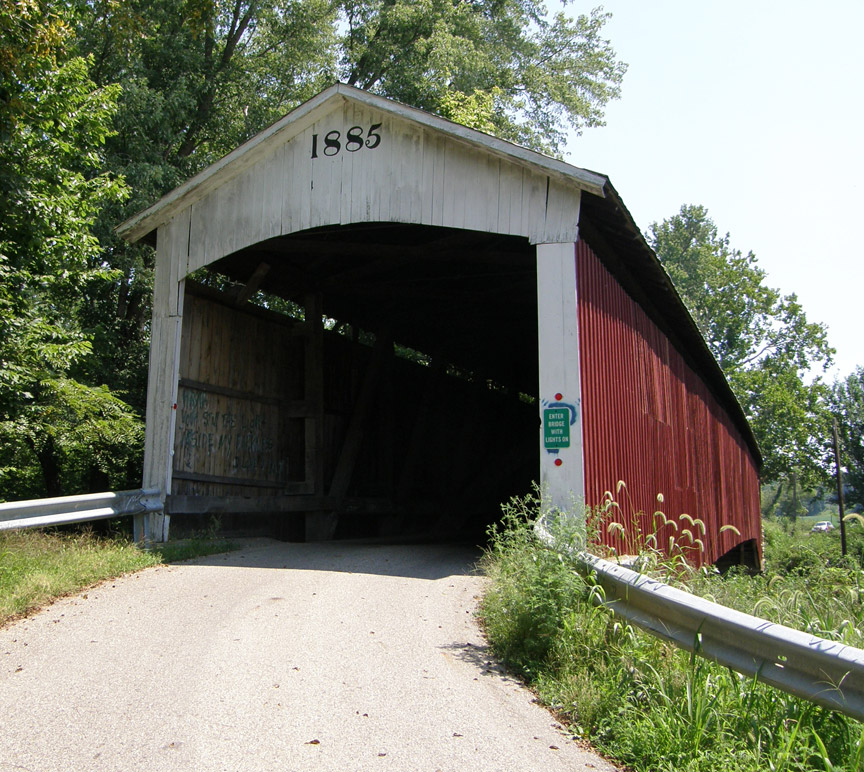
180 foot span plus a 13 foot overhang at each end
Map of
Latitude: 39.891414
Longitude: -87.4334