


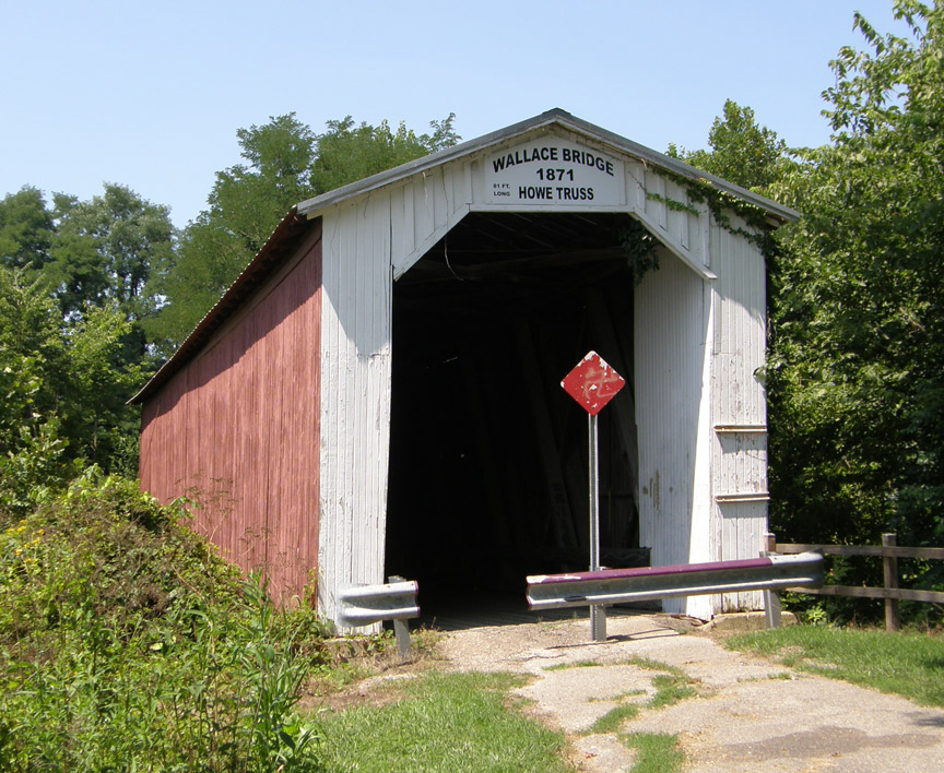
14-23-01
Wallace Covered Bridge
Fountain County
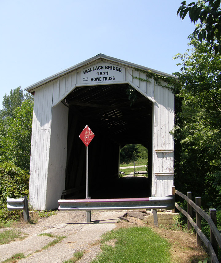
Wallace Covered Bridge
GPS
N39 59.12
W87 08.68
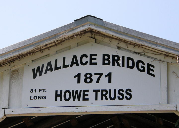
built in 1871 by Barnhart and Aherns
81 foot length
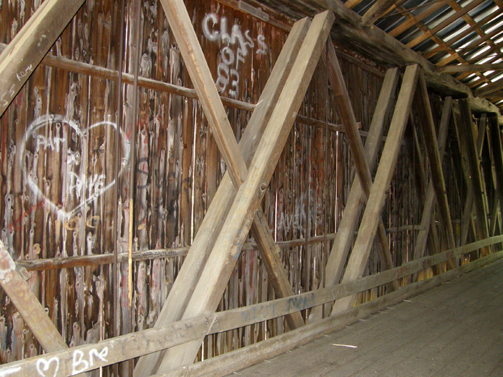
Howe Truss
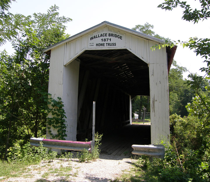
originally used for interurban rail
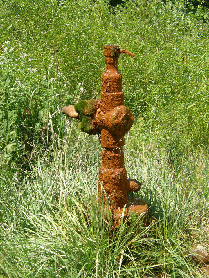
corroded water valve
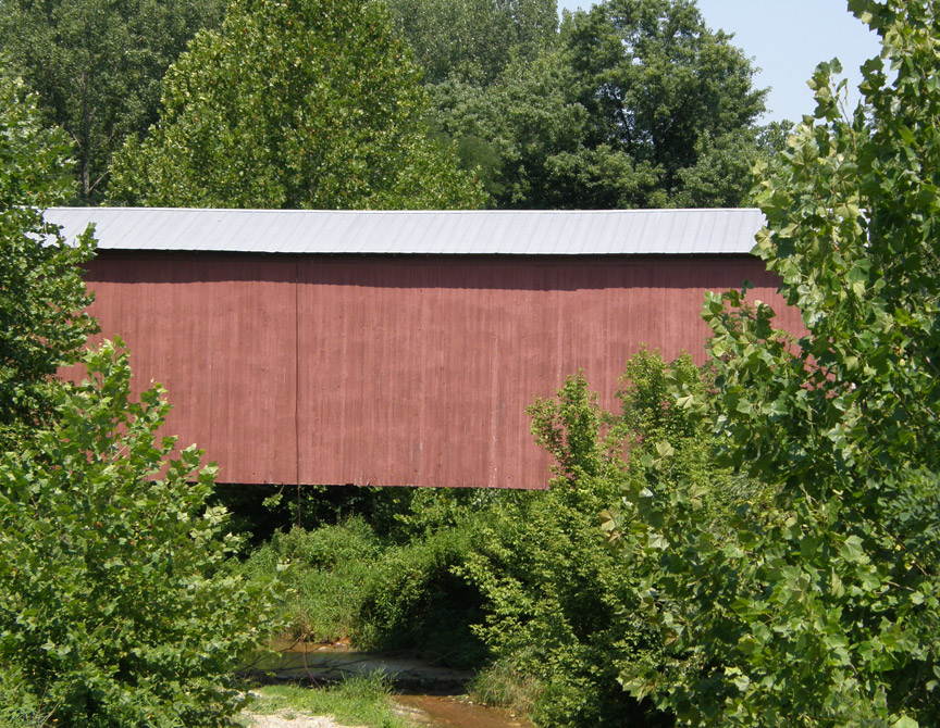
Sugar Mill Creek
Latitude: 39.9853
Longitude: -87.1446
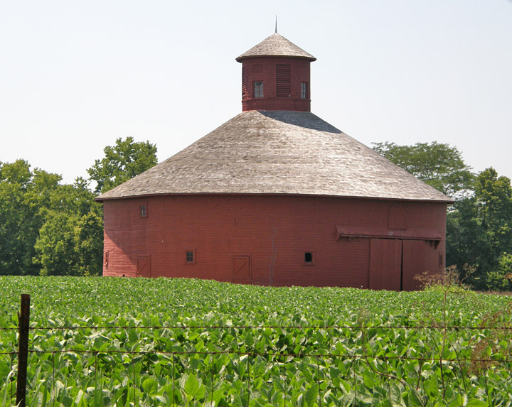
round barn