


14-23-02
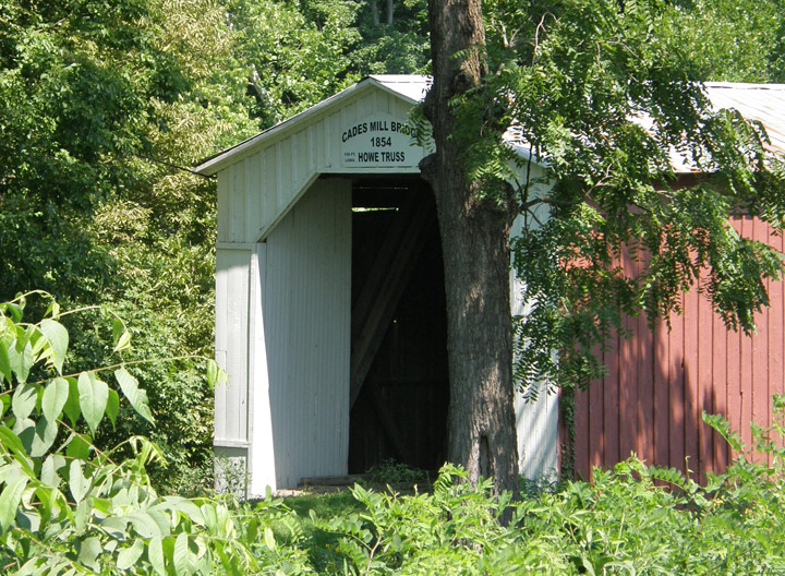
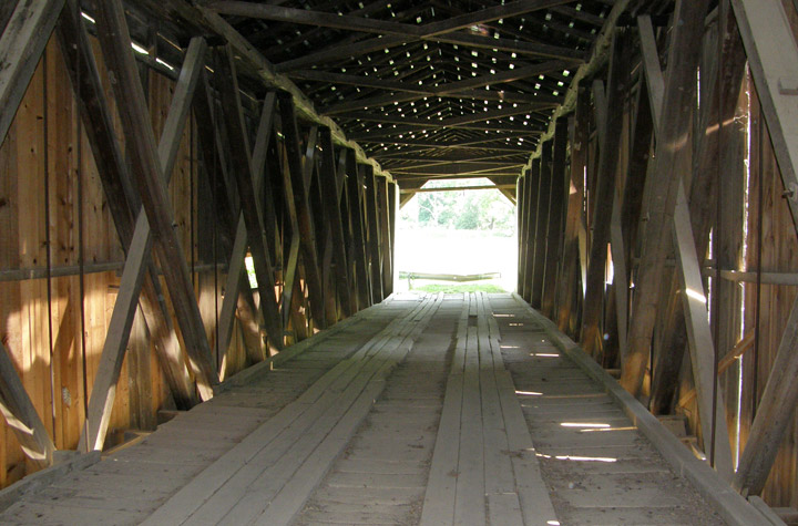
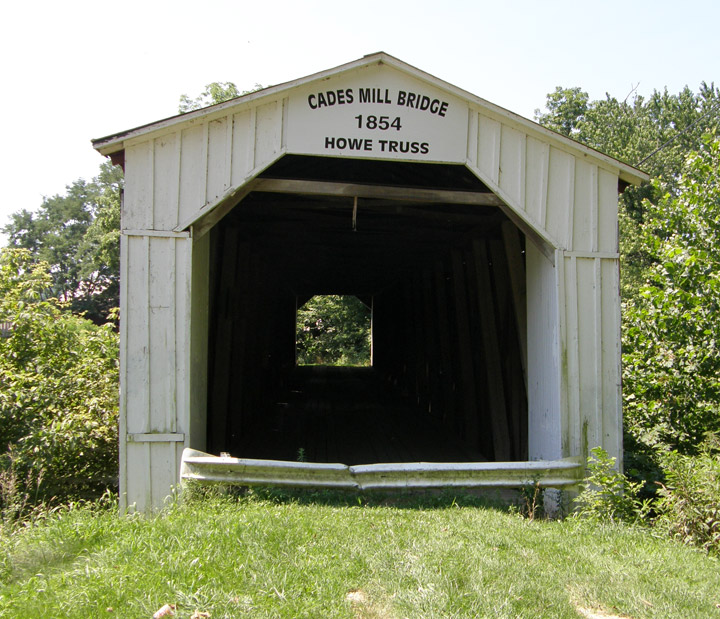
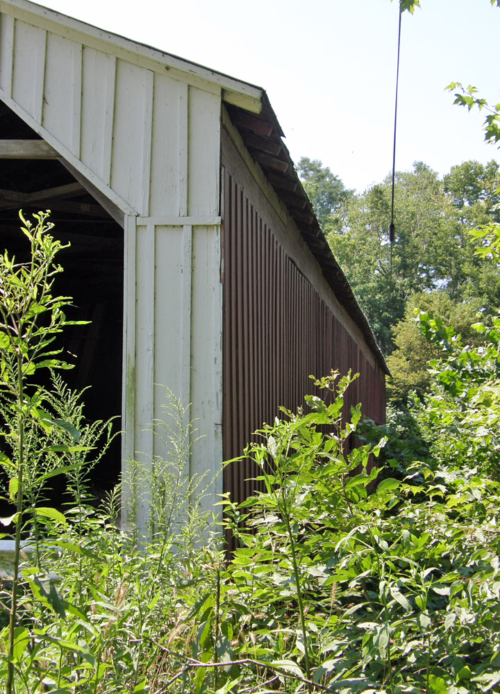
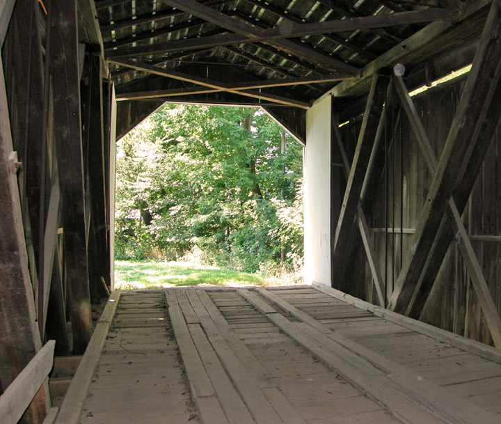
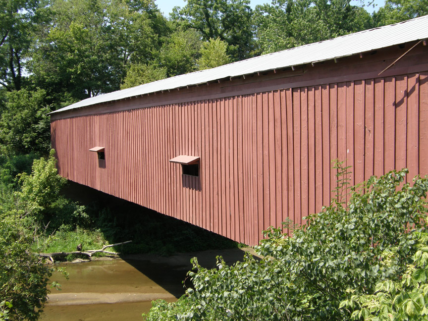
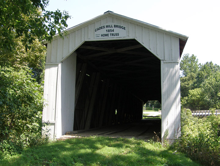
Cade's Mill Covered Bridge
Fountain County
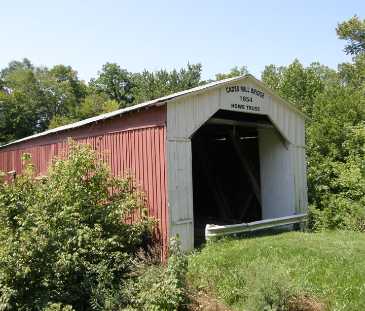
Cade's Mill Covered Bridge
GPS
N40 03.86
W87 18.75
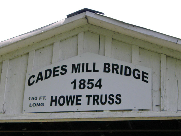
built in 1854 by Captain White
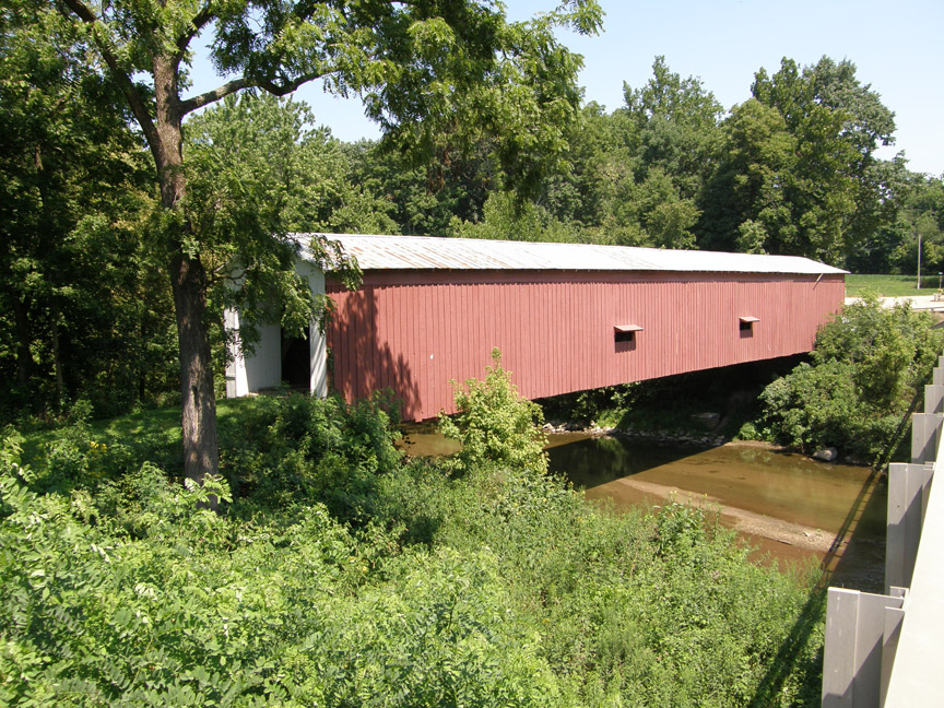
150 foot span, with a 4 foot overhang at each end
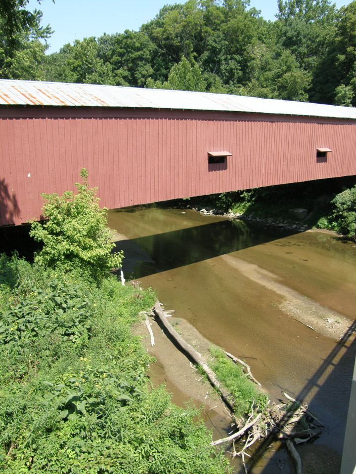
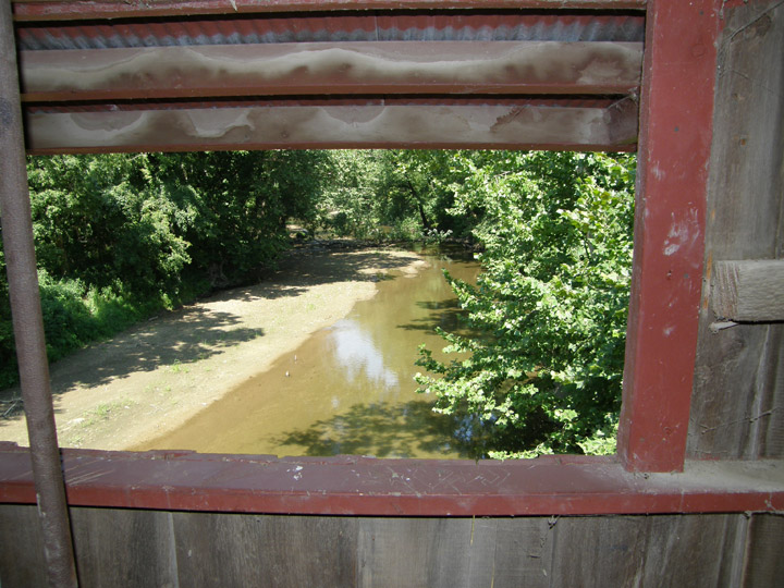
Coal Creek
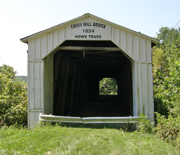
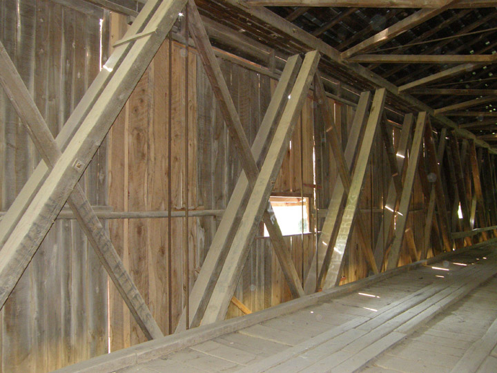
Howe Truss
Latitude: 40.0643
Longitude: -87.3125