14-67-07
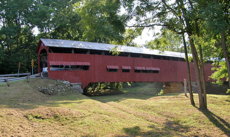
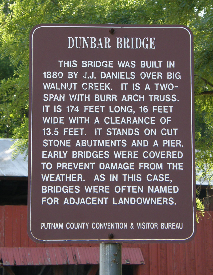
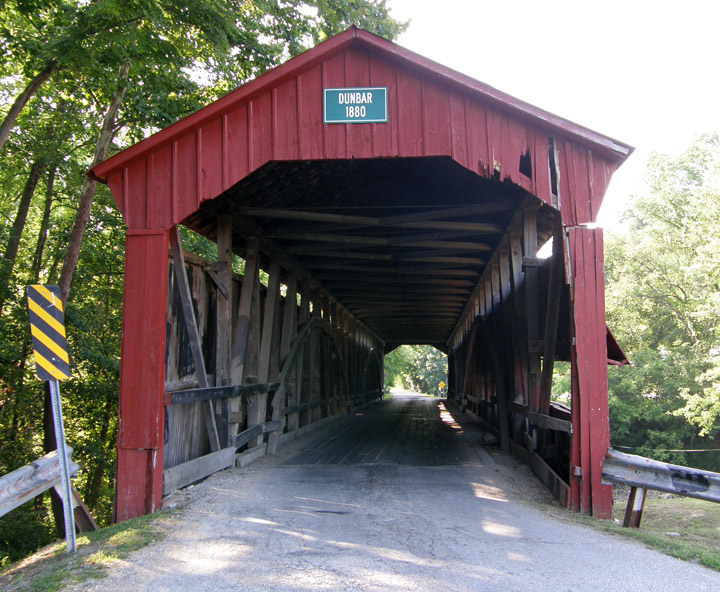
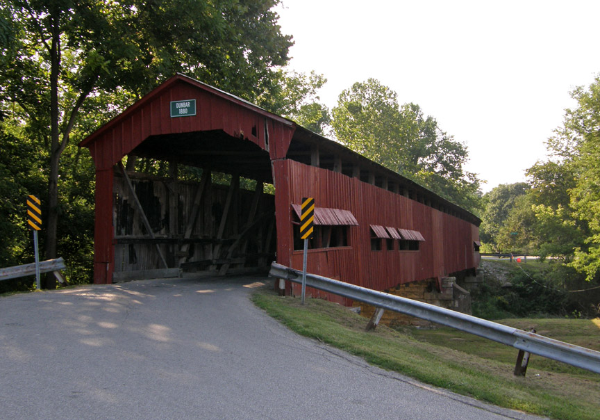
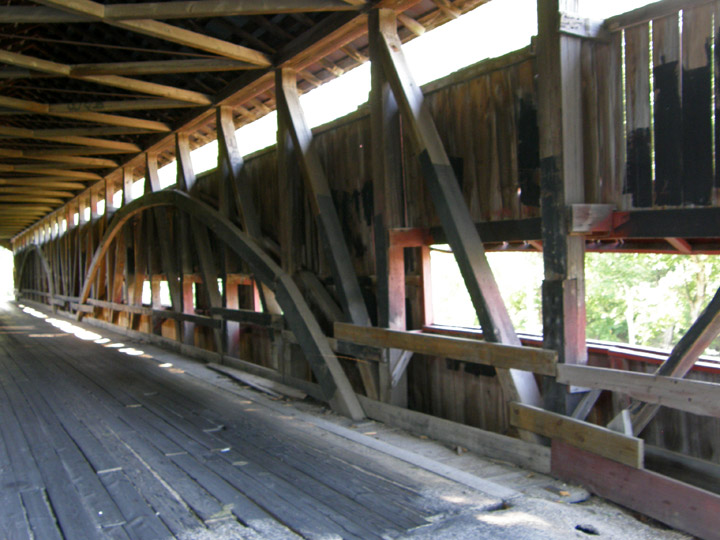
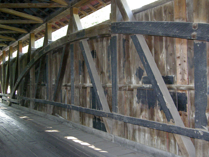
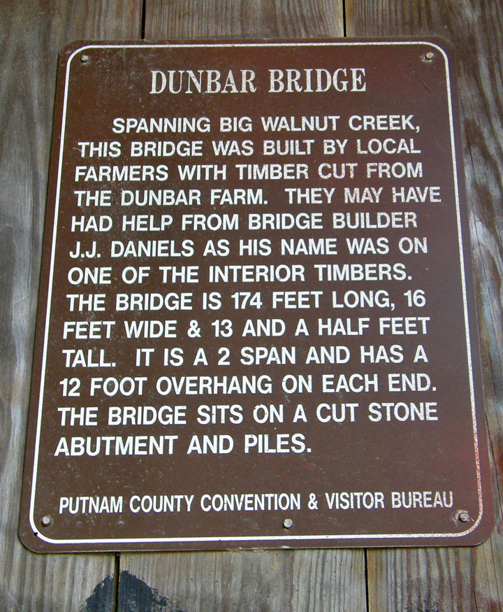
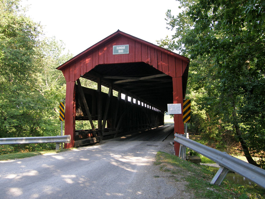
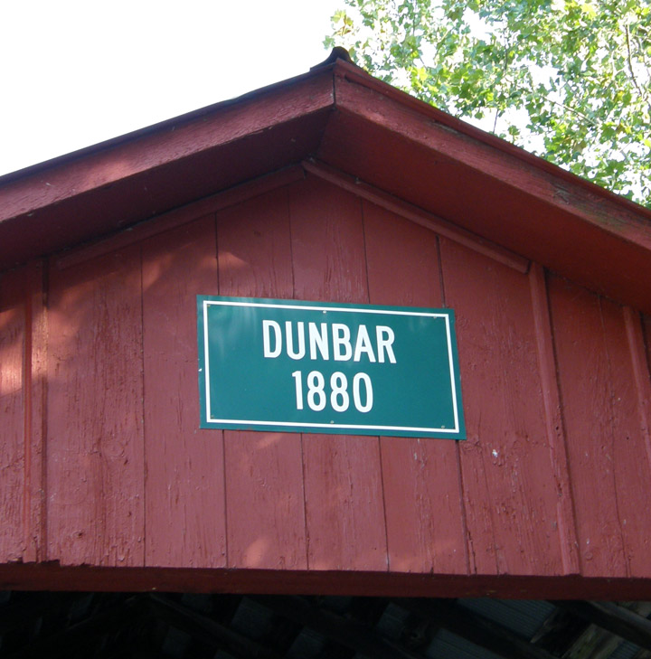
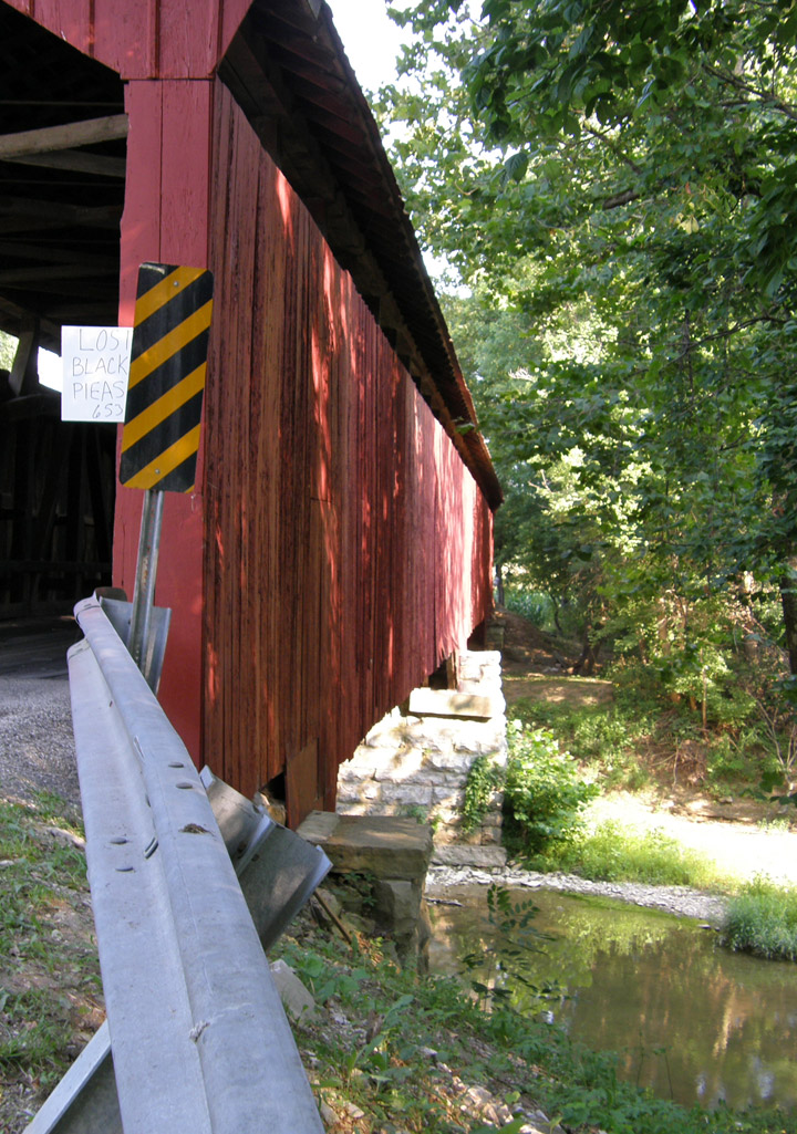
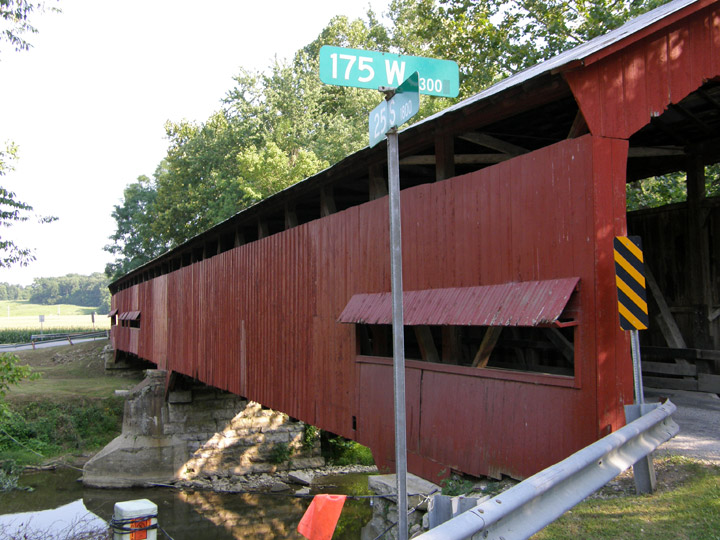
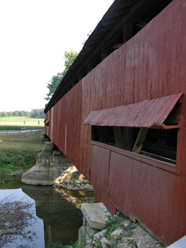
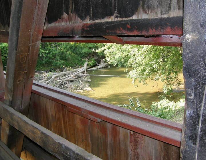
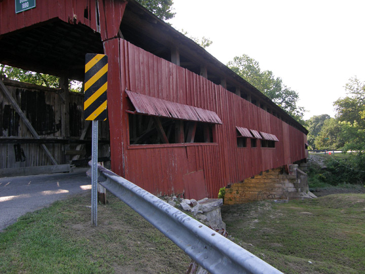
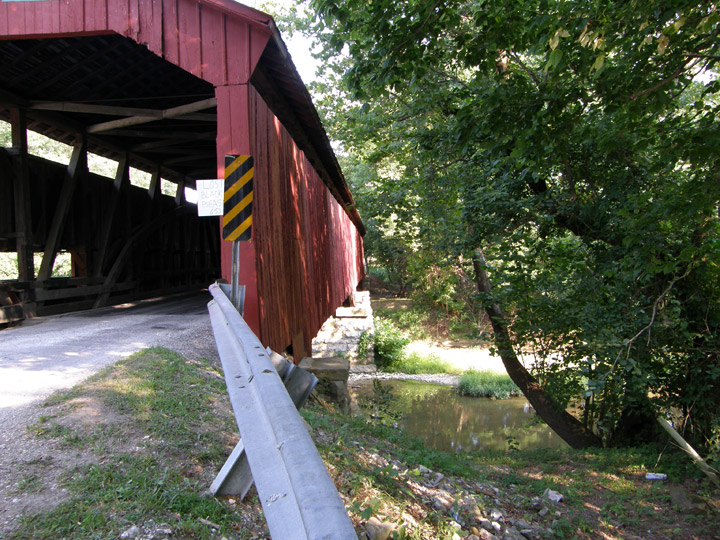
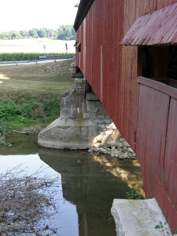
Dunbar Covered Bridge
Putnam County
built in 1880 by J. J. Daniels
GPS
N39 39.52
W86 53.00
174 foot span
Burr Arch
Map of Latitude: 39.6586Longitude: -86.8834
People and Places