


14-67-10
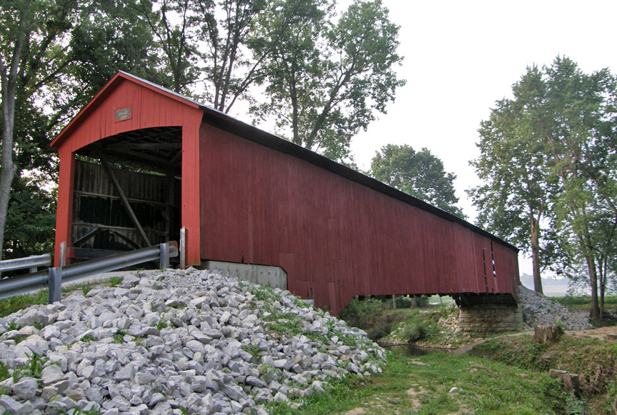
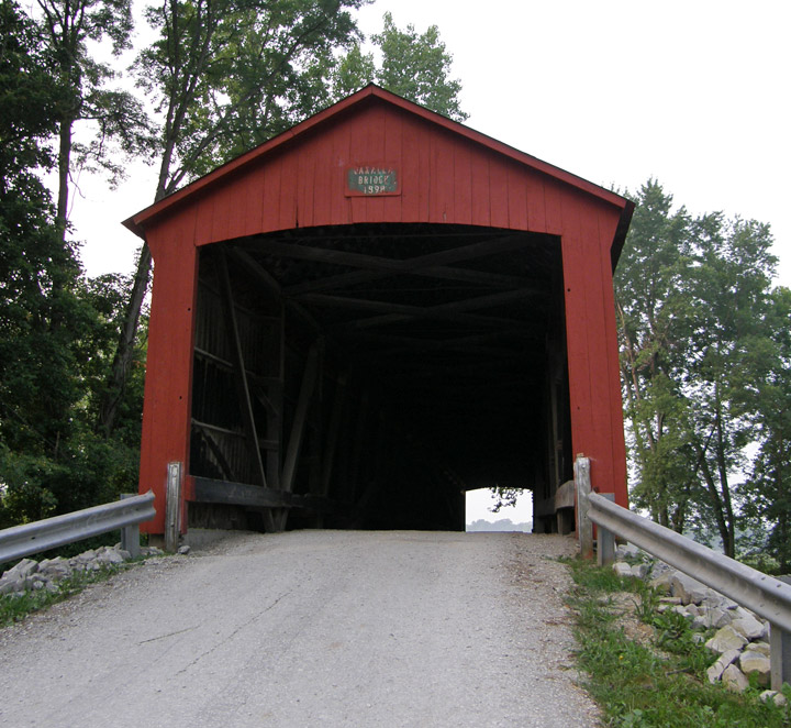
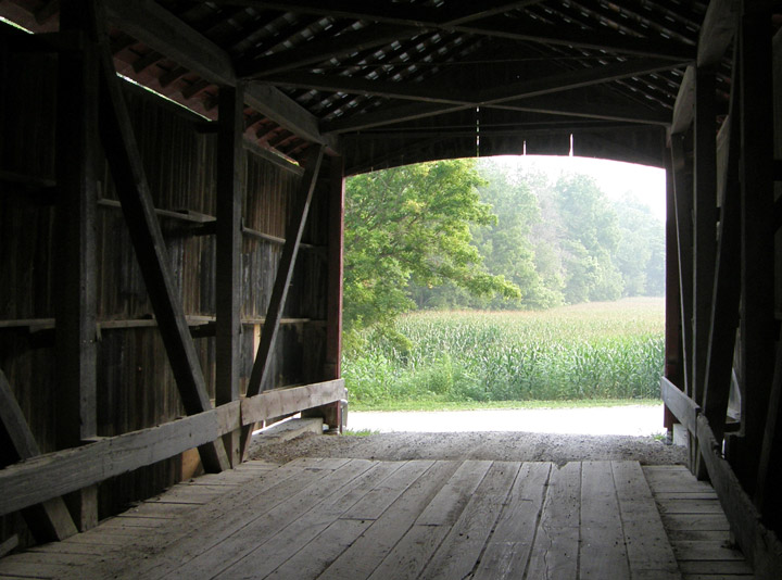
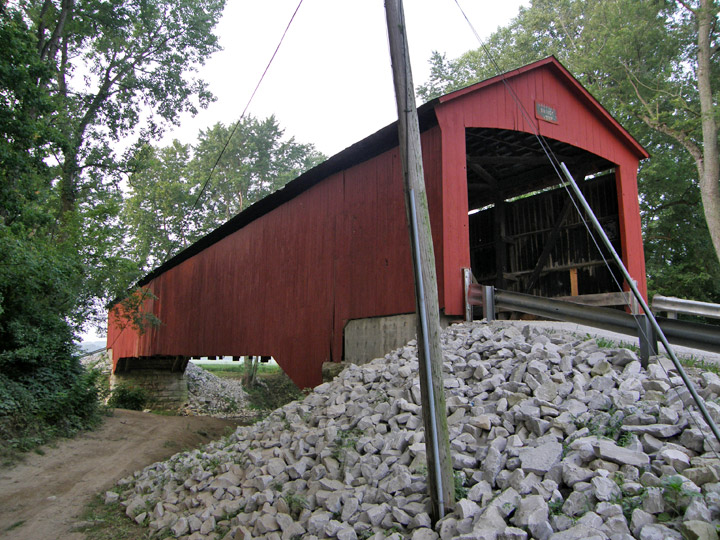
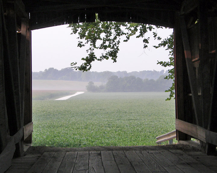
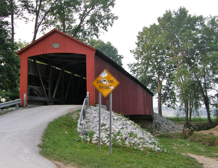
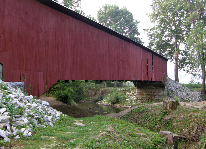
Oakalla Covered Bridge
Putnam County
Oakalla Covered Bridge
GPS
N39 37.52
W86 55.02
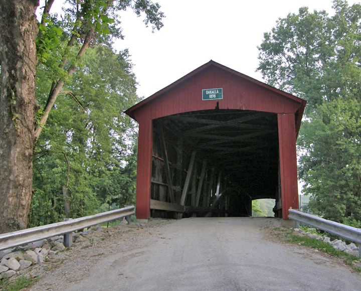
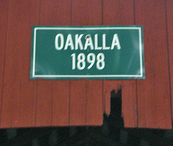
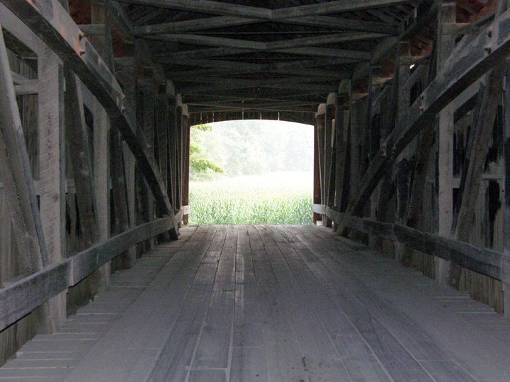
built in 1898 by J. J. Daniels
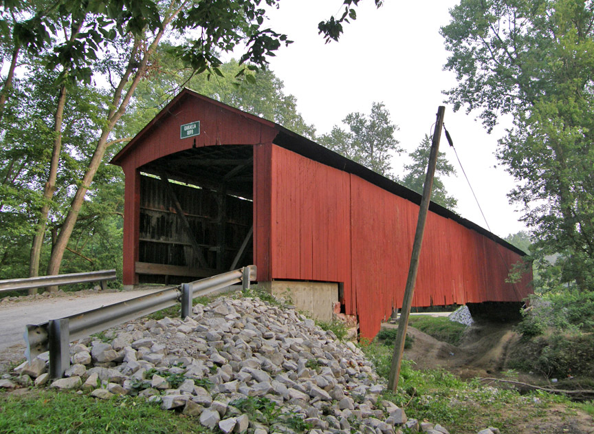
152 foot span, with two 15 foot overhangs
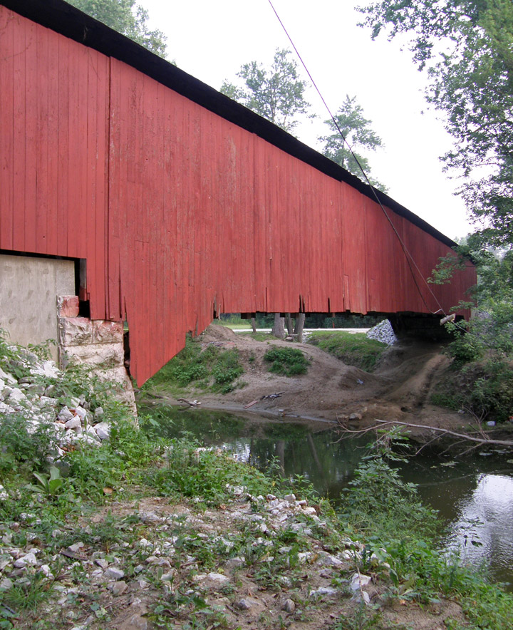
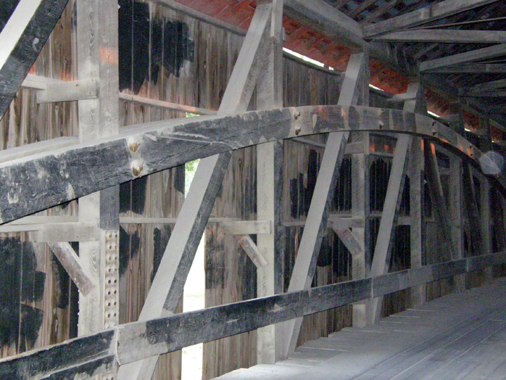
Burr Arch
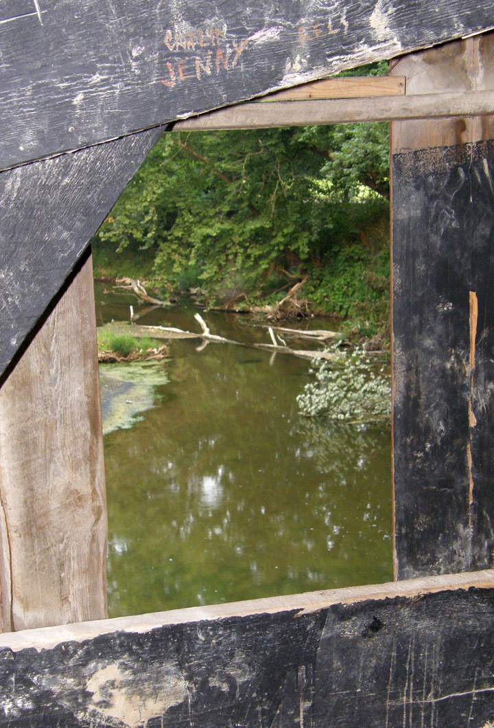
Big Walnut Creek
Map of
Latitude: 39.625950
Longitude: -86.916633