45-11-04
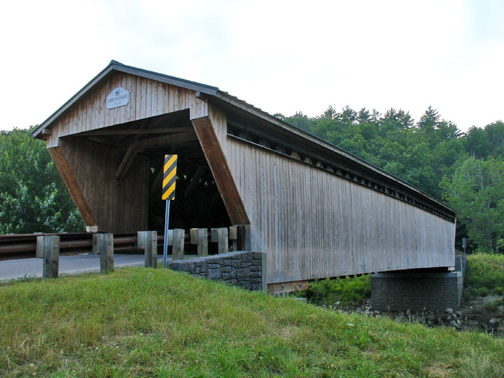
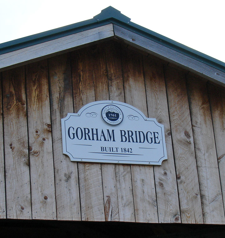
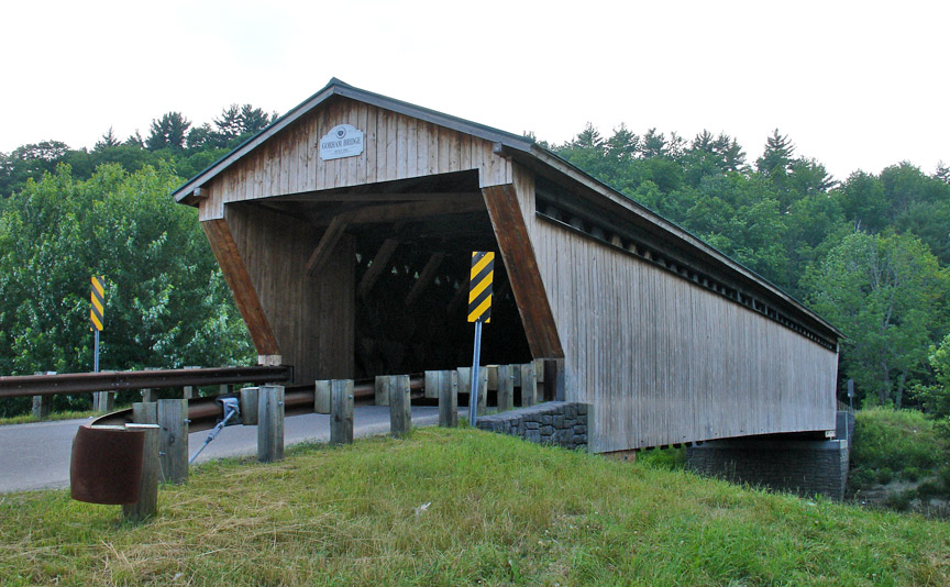
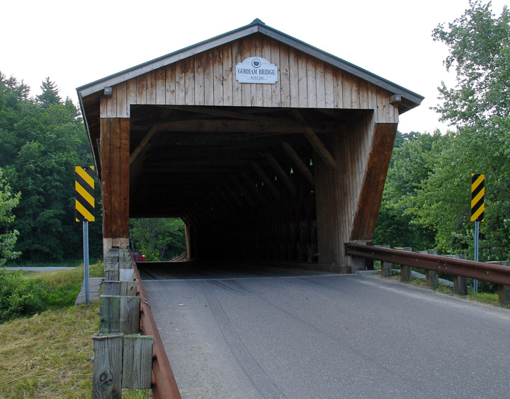
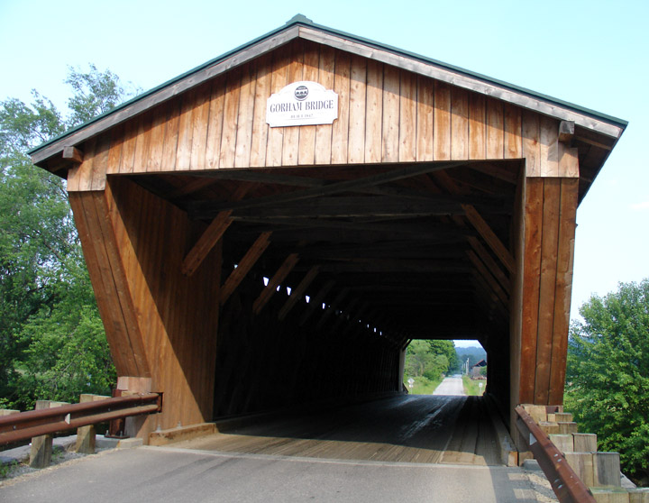
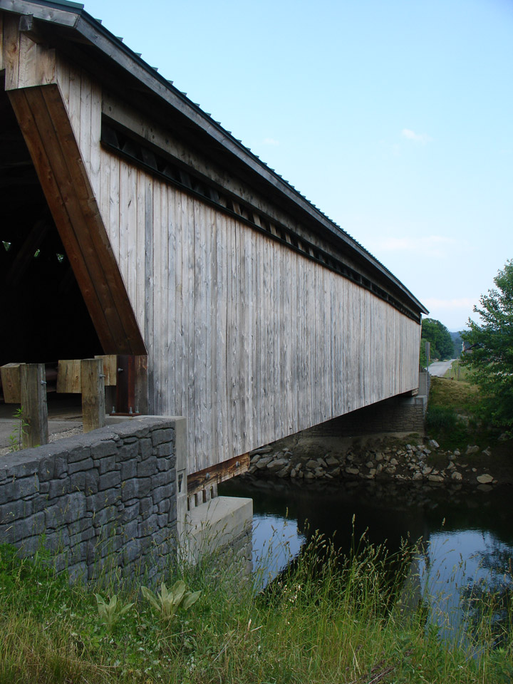
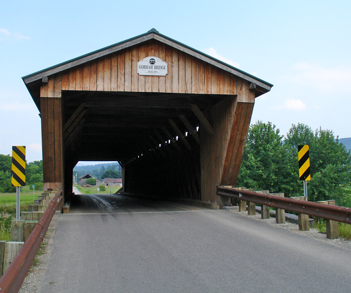
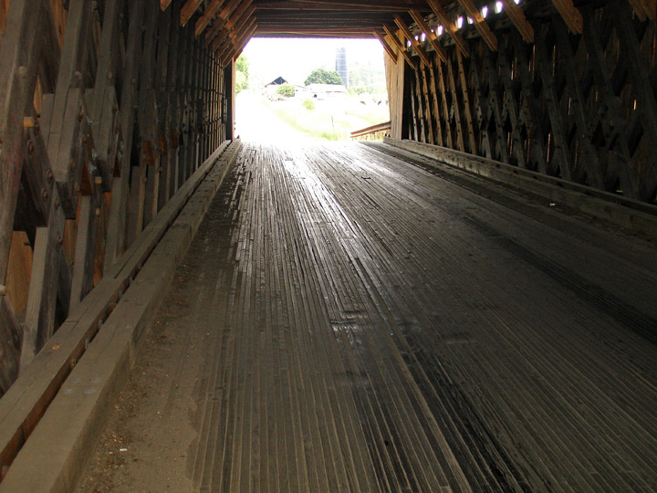
Gorham Covered Bridge
Goodnough
GPS
N 43 deg 40.806 min
W 73 deg 02.223 min
Map of Latitude: 43.680700Longitude: -73.037050
Length: 114.8'
built in 1842
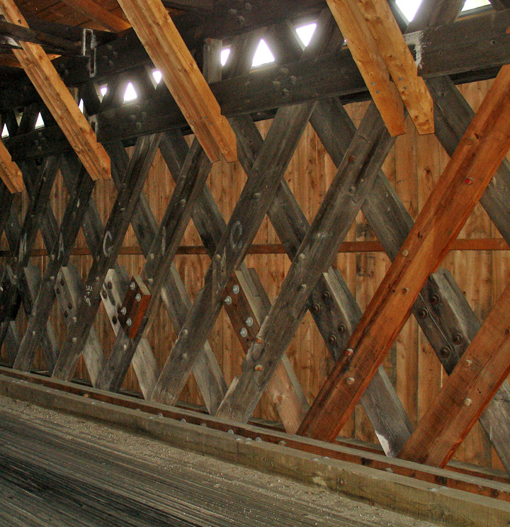
Town Lattice
People and Places