45-11-05
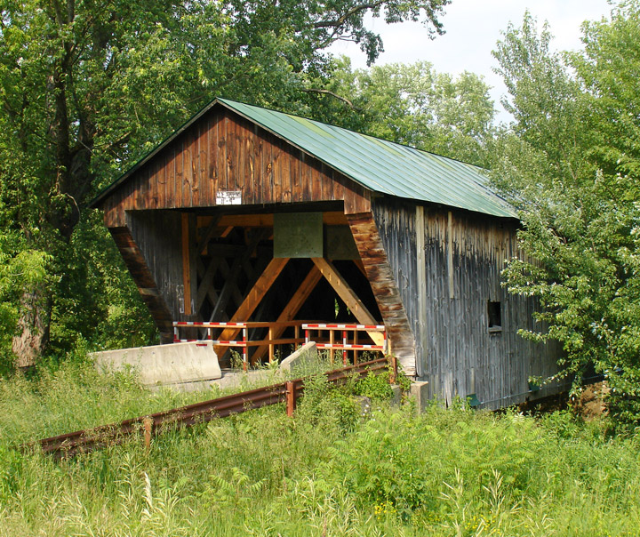
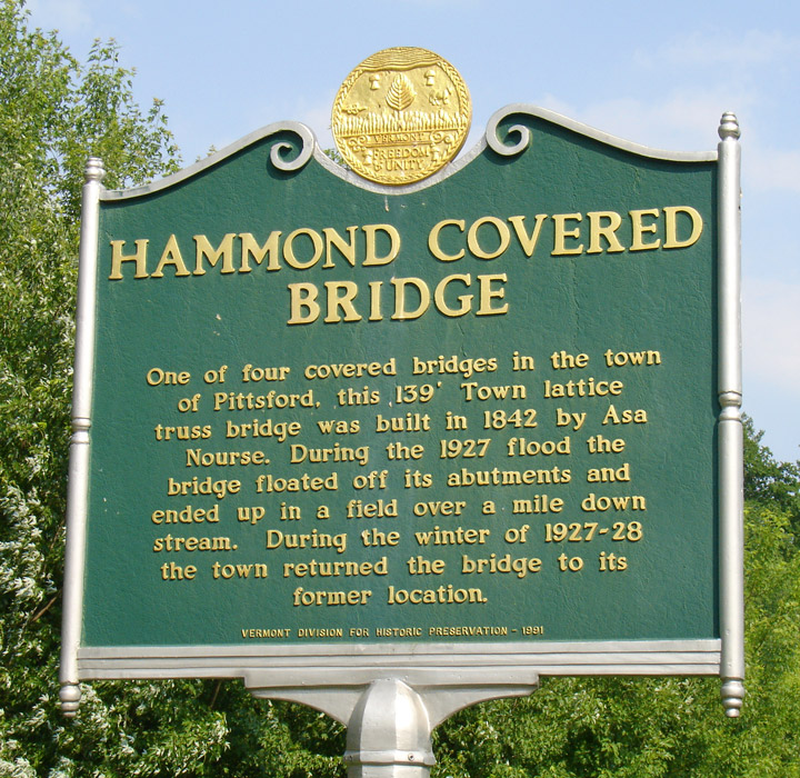
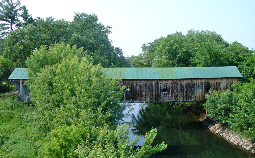
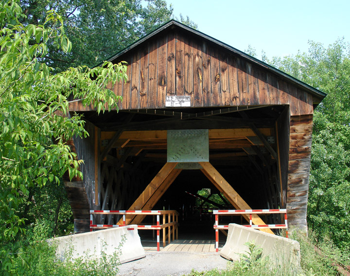
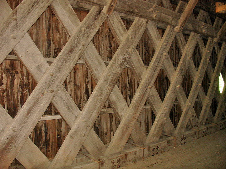
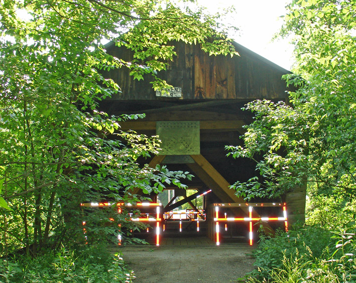
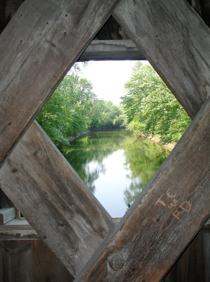
Hammond Covered Bridge
GPS
N 43 deg 43.238 min
W 73 deg 03.251 min
Map of Latitude: 43.720633Longitude: -73.054183
Length: 139'
built in 1842 by Asa Nourse
Town Lattice
People and Places