


Graciosa Island


Graciosa Island
Graciosa Island, also known as White Island, is the northernmost of the Central Group of the Azores Islands. The island has an area of 60.84 km² in an oval form, with a length of 10 km and a width of 7 km. The entire island is a large stratovolcano which rises from the floor of the Atlantic Ocean. The southeastern end is dominated by a 1.6 km wide caldera, known as Caldeira.
inside a caldera
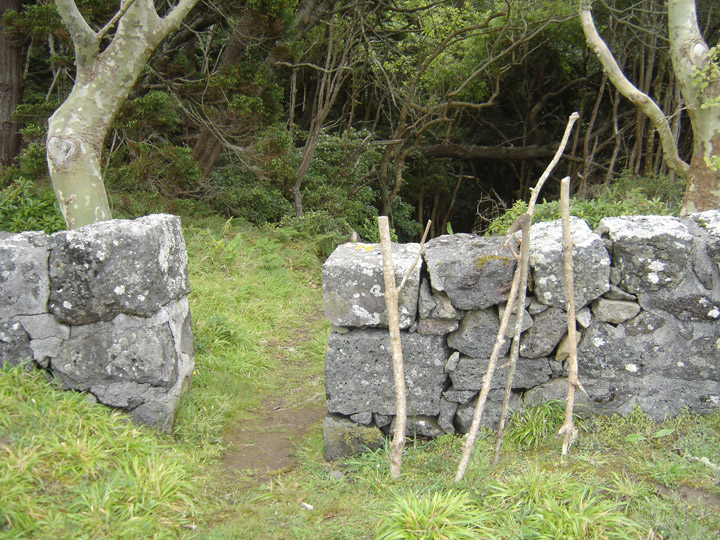
abandoned walking sticks
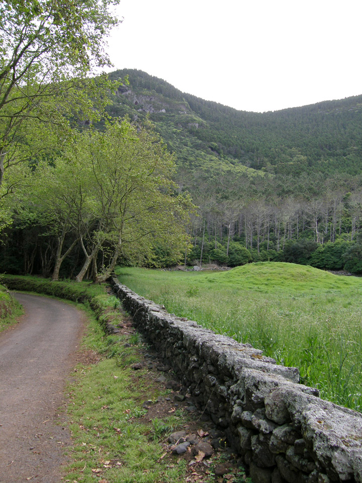
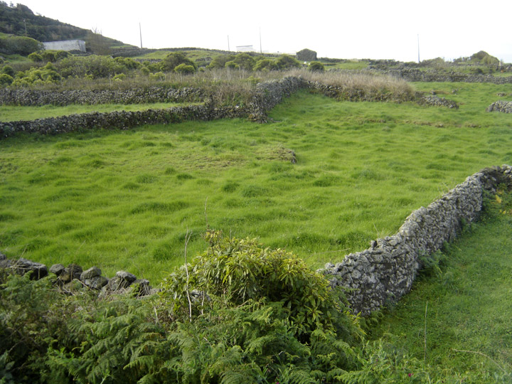
Baia da Folga
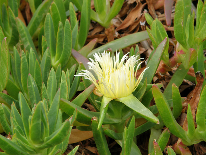
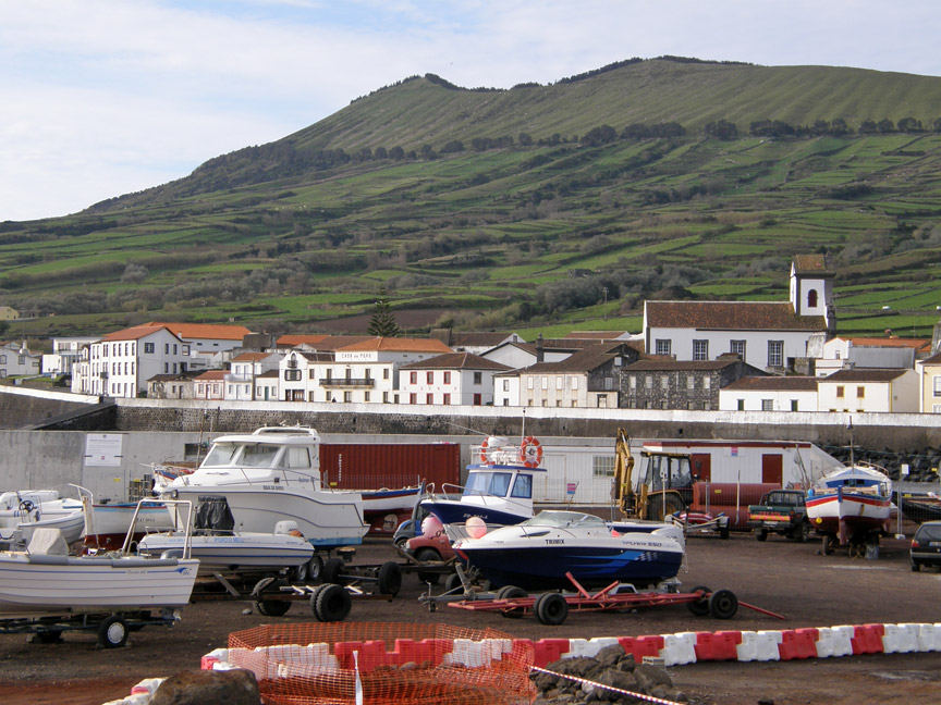
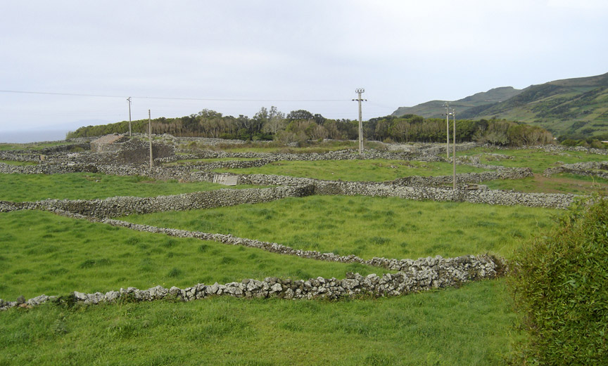
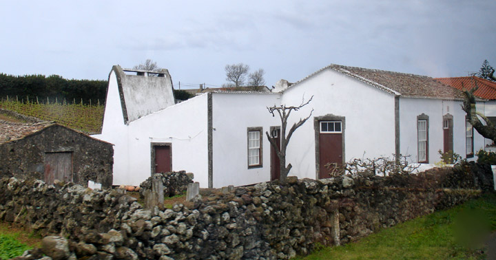
The landscape of Graciosa (meaning enchanting) mixes the green of the pastures with the white of the villages and isolated houses. It has fertile fields that produce various fruits, wine, grass fed beef and dairy cattle as well as award winning cheese and other dairy products.
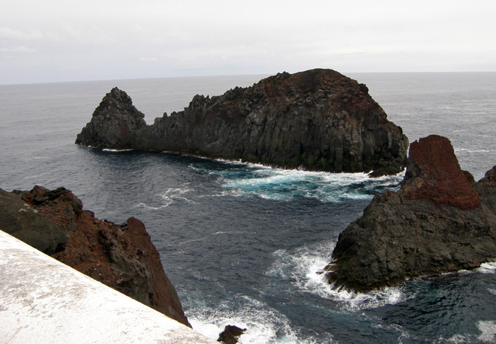
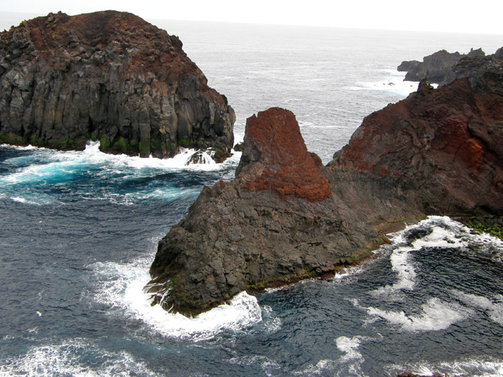
"formerones"
The "formerones" of Graciosa is a rocky formation of great dimensions located near the Vila de Santa Cruz, with a configuration that resembles a whale.
Of volcanic origin, Graciosa Island has a very pronounced relief in the south,
where Caldeira peak reaches 402 meters. It has the "Furna do Enxofre" (Sulphur
Cavern). This is practically a unique phenomenon in the whole world.
Santa Cruz
Graciosa has only one municipality, Santa Cruz da Graciosa with almost 4,780 inhabitants (2001 census).
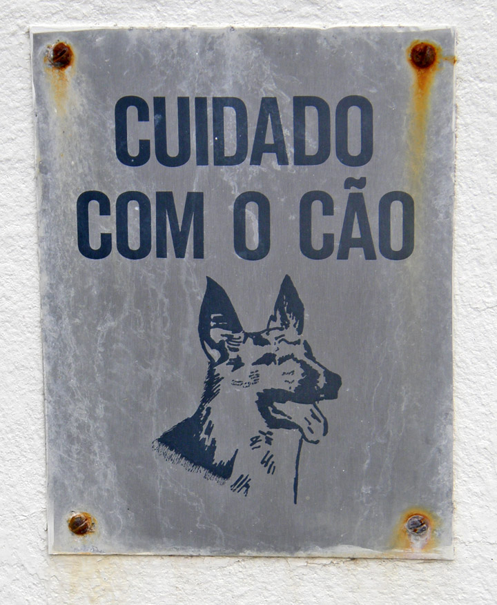
the guarddog
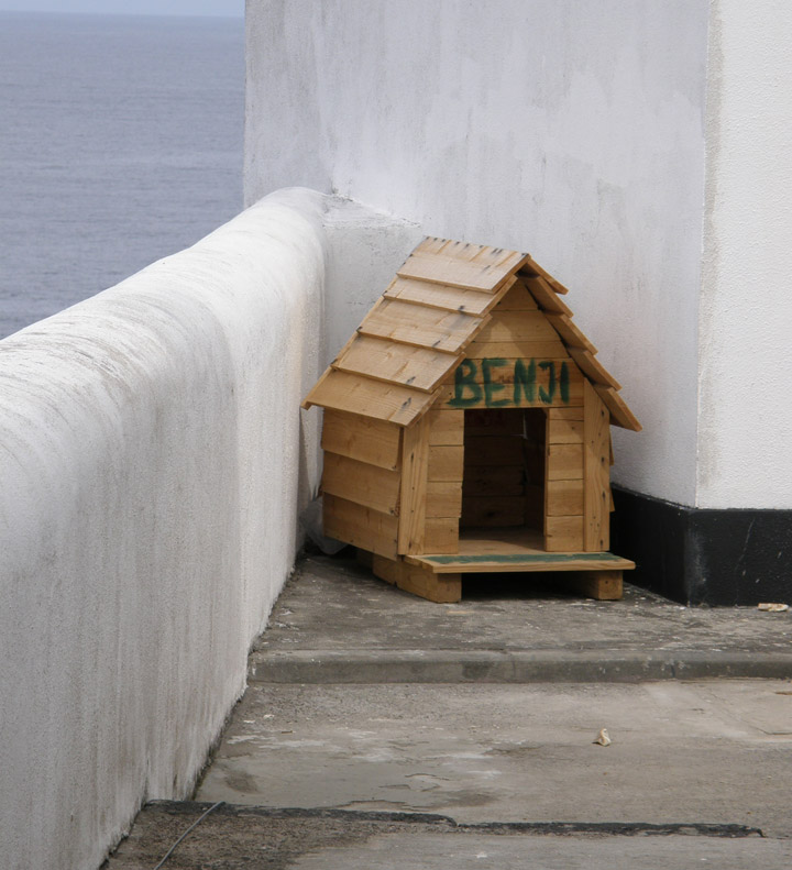
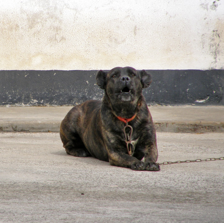
"Benji"
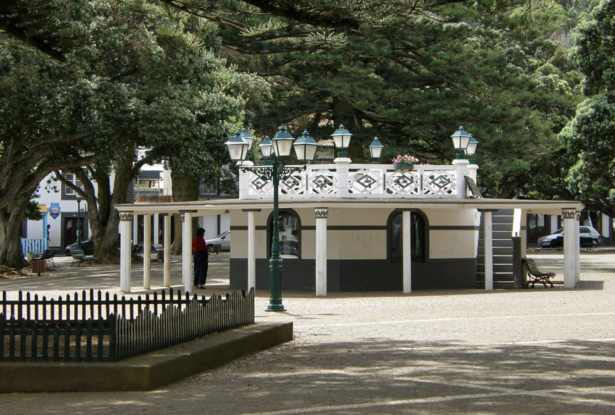
Graciosa Island was discovered in May 2, 1450 Its first settler was from Montemor-o-Velho and his name was Vasco Gil Sodré. He came from Terceira Island and settled forever on Graciosa with his family. Graciosa has a school, a lyceum, a gymnasia, a church and a square (praça).
Text from Wikipedia
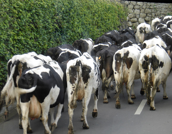
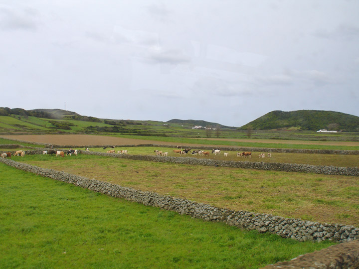
milk cows on the way to the paddock
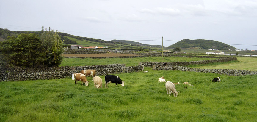
grazing
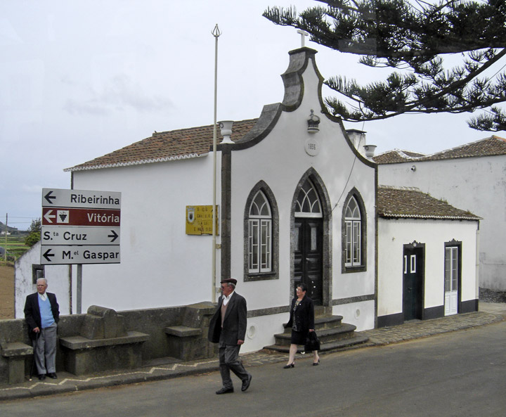
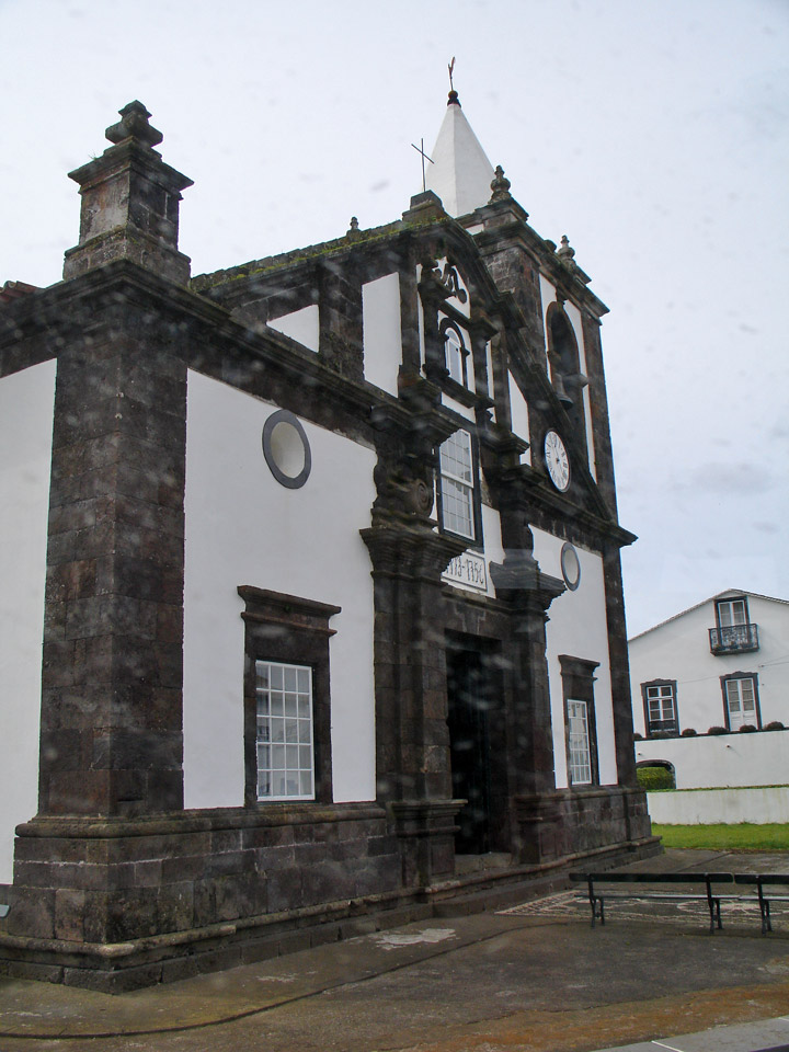
Holy Ghost chapel
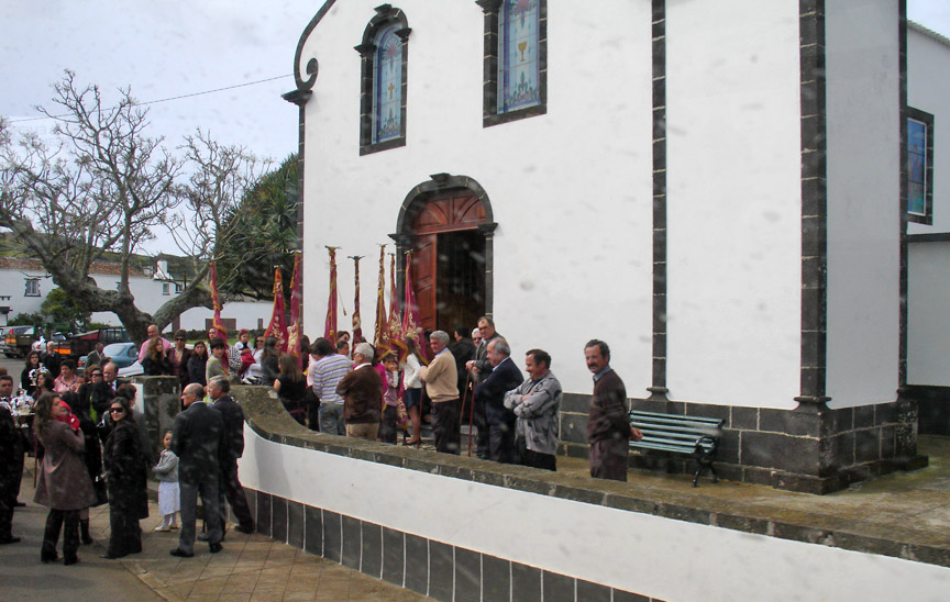
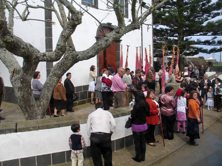
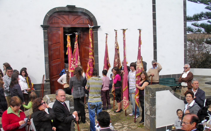
procession to the church
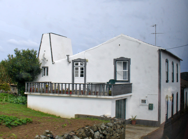
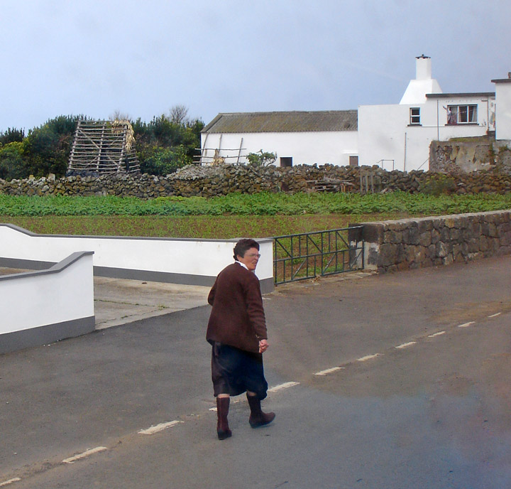
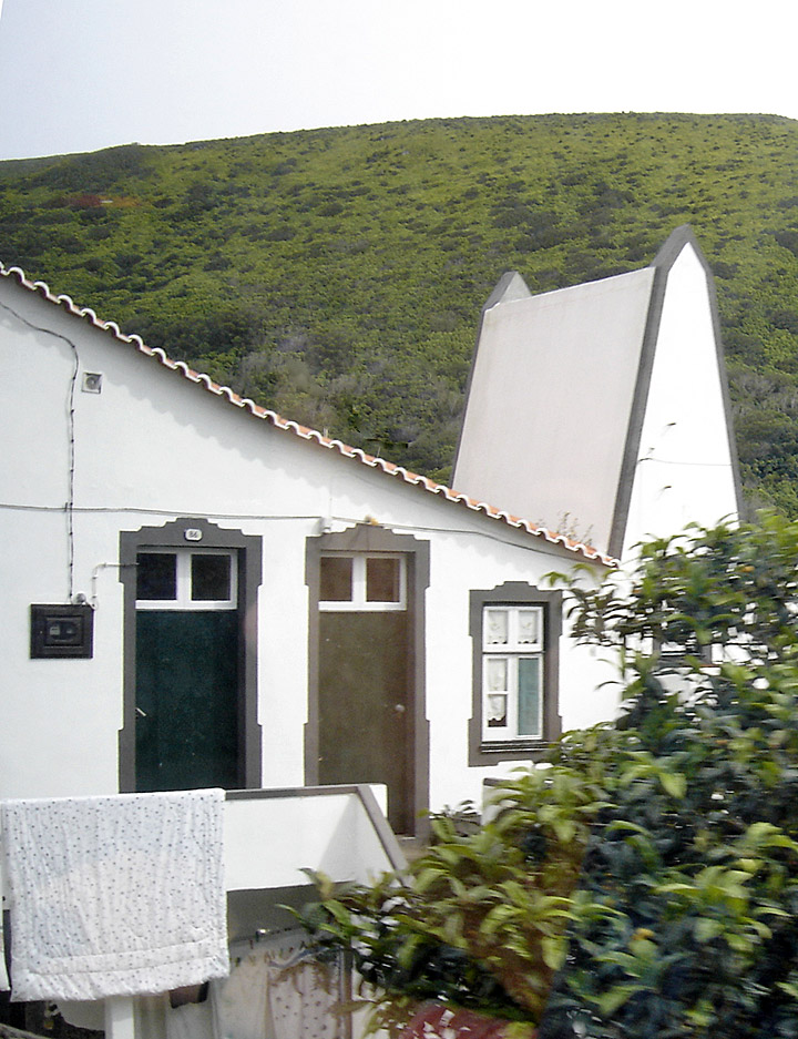
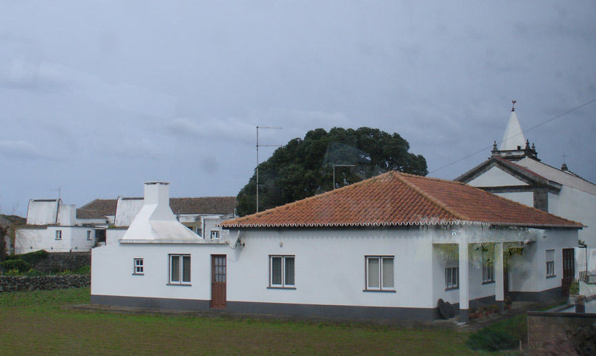
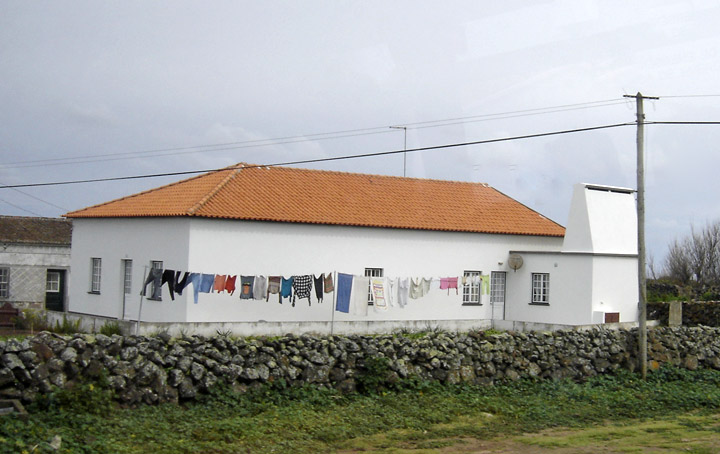
houses with high kitchen chimneys
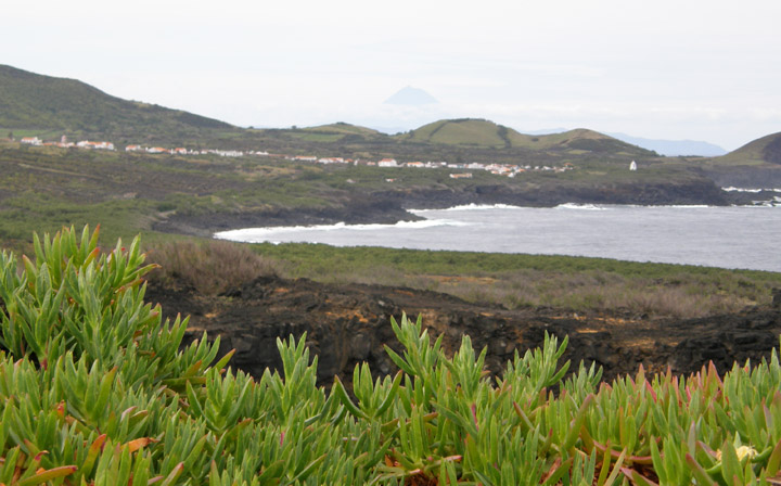
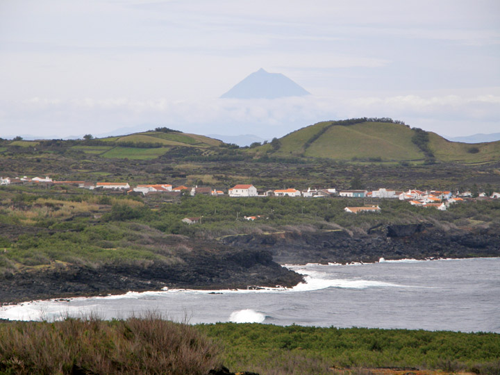
coastline with Pico Island in the background
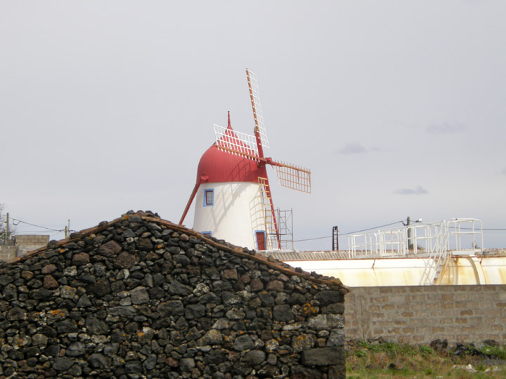
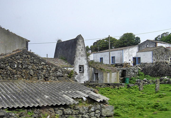
windmill