


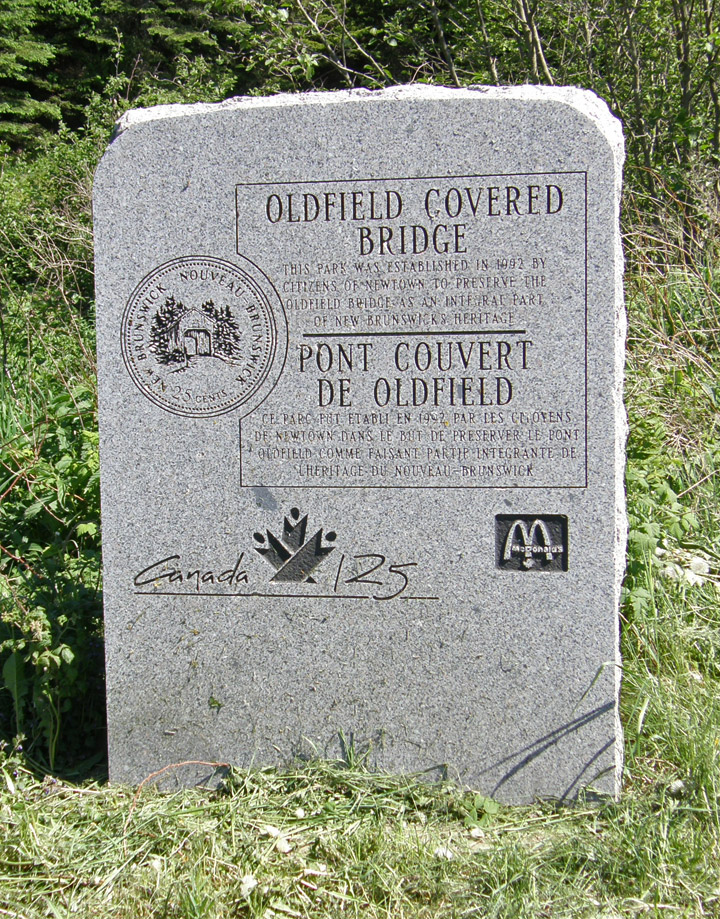
Oldfield Covered Bridge
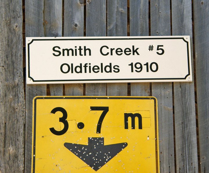
Smith Creek # 5
Kings County
55-06-17
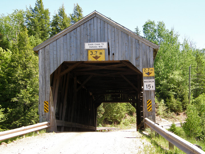
Oldfield Covered Bridge
GPS
N 45 deg 49.832 min
W 65 deg 26.679 min
Map of Latitude: 45.830533
Longitude: -65.444650
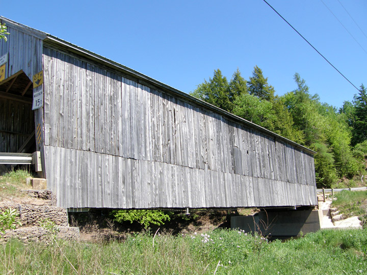
Span: 92' Length: 97' 10"
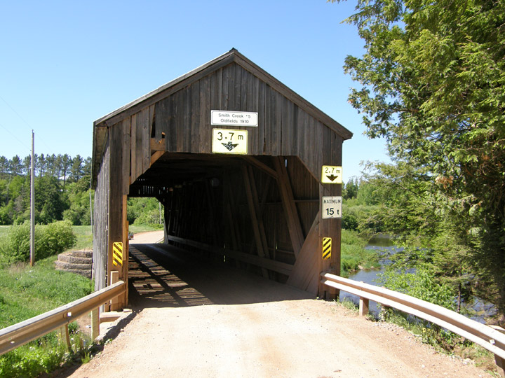
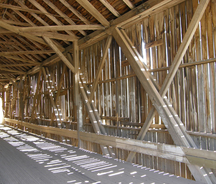
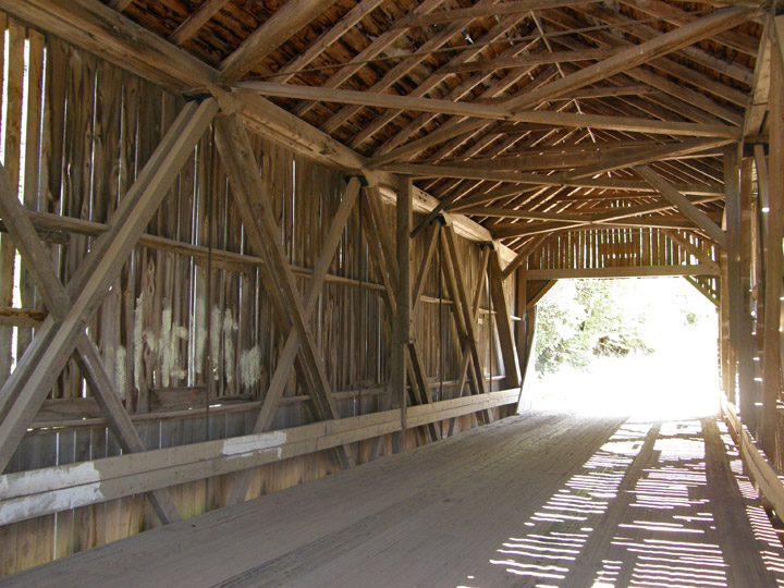
Howe Trussss
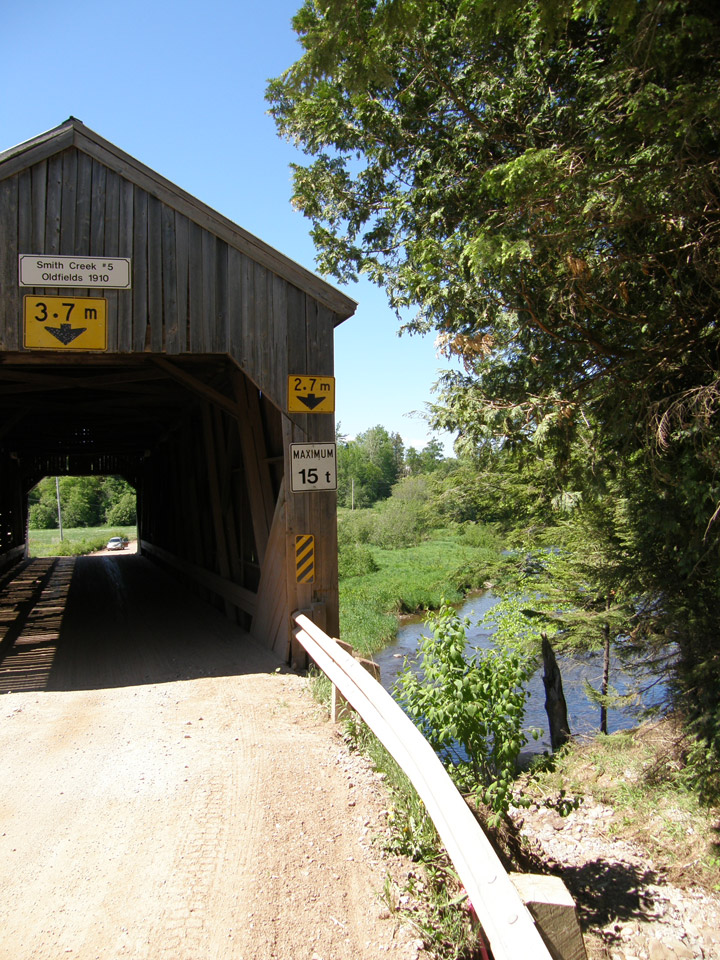
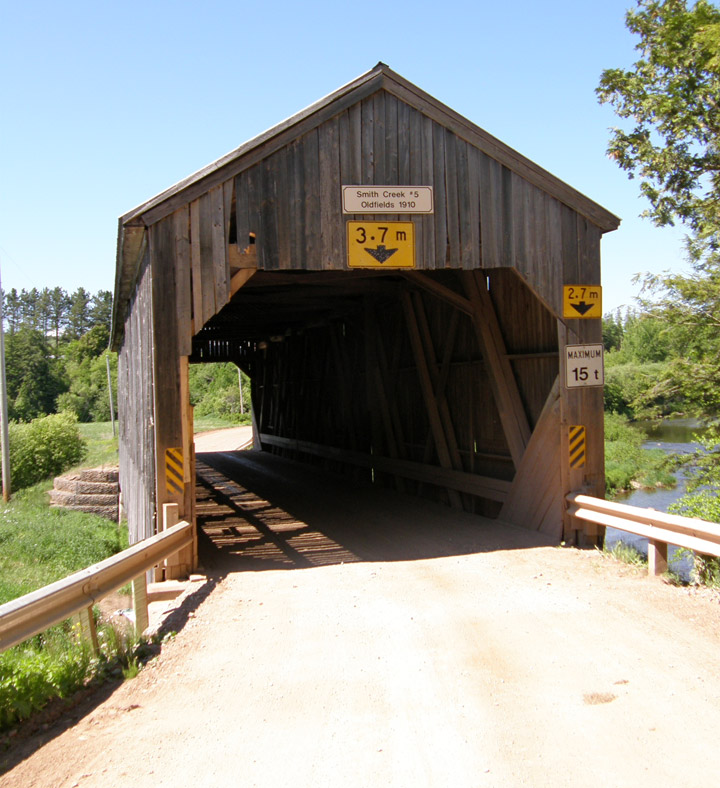
Location:
Across Smith Creek southwest of Newtown.
8.0 miles (13 km) N. of jct TCH2 on NB890, then just right on Oldfield Rd.