


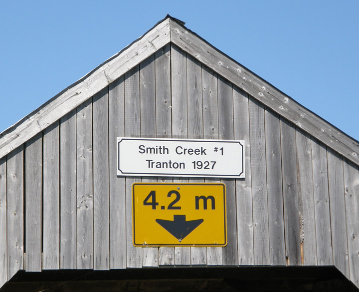
Tranton Covered Bridge
Smith Creek # 1
Kings County
55-06-26
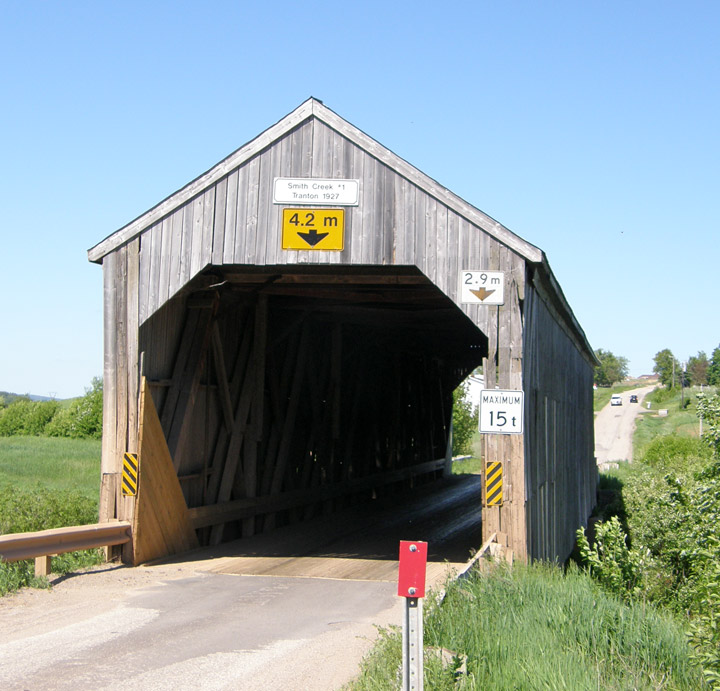
Tranton Covered Bridge
GPS
N 45 deg 44.839 min
W 65 deg 30.769 min
Map of Latitude: 45.747317
Longitude: -65.512817
Span: 120' 6" Length: 127'
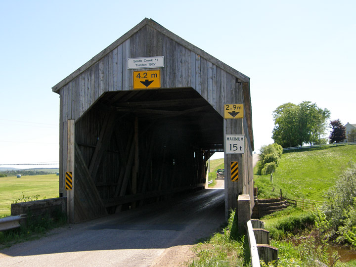
built in 1927
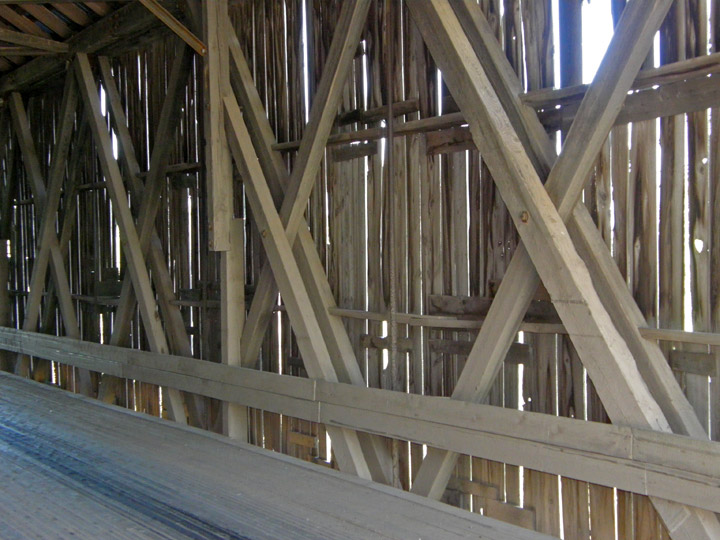
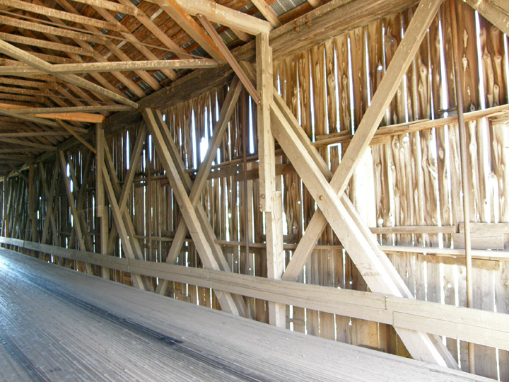
Howe Truss
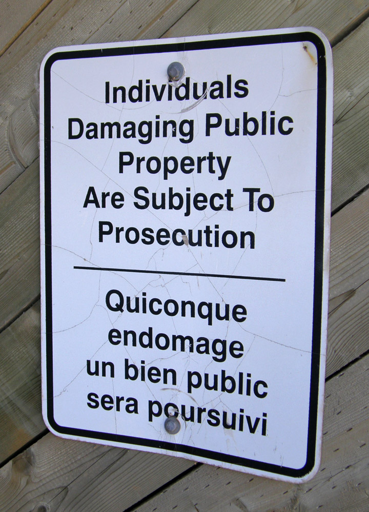
warning
Location:
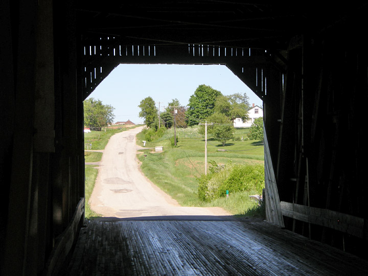
Across Smith Creek.
1.7 miles (2.7 km) north of jct TCH2 on NB890, then 0.6 miles (1.0 km) left on Roachville Rd.