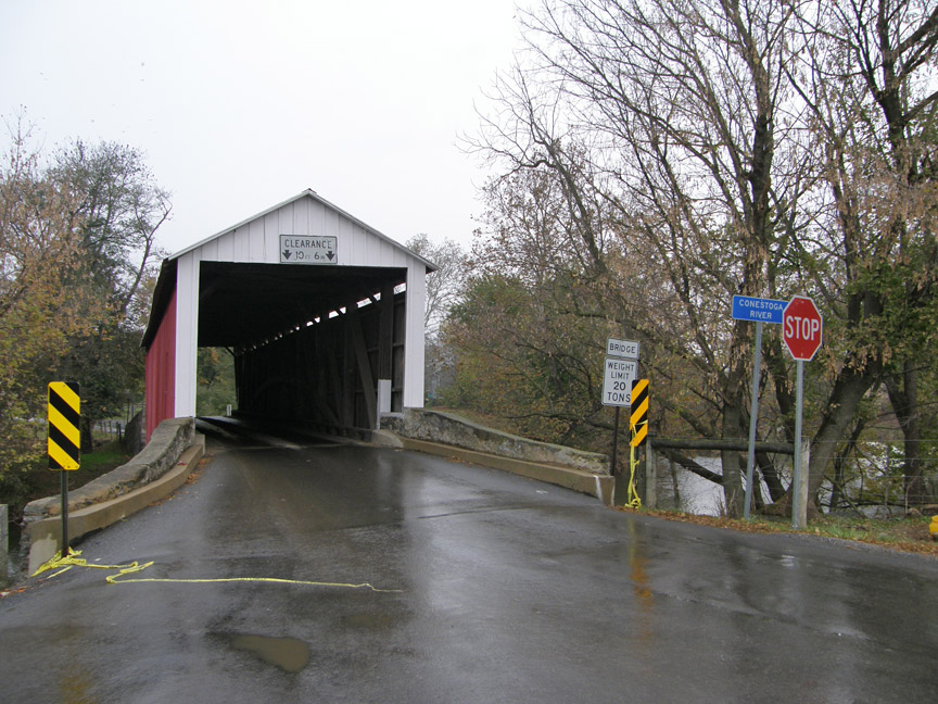
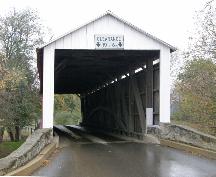
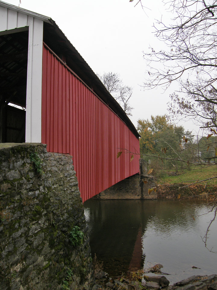
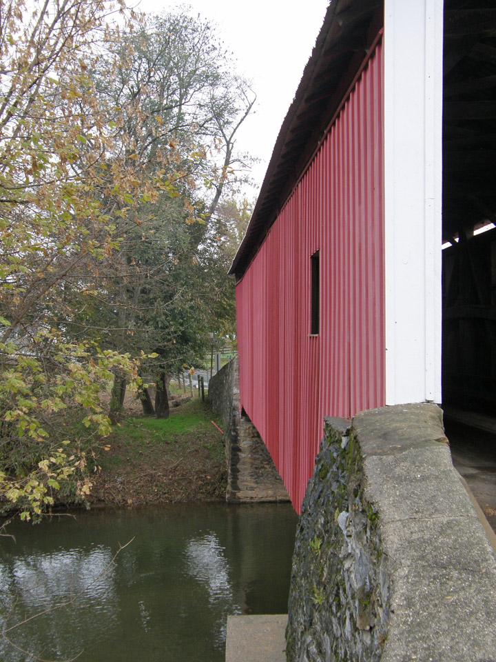
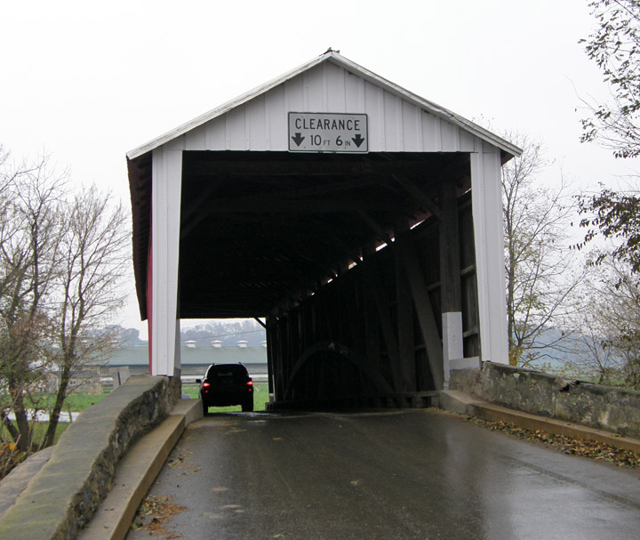
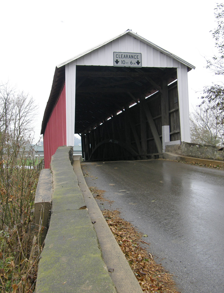
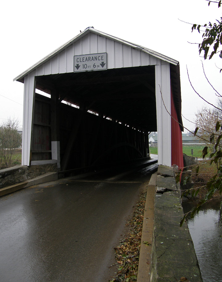
38-36-04
Eberly Mill Covered Bridge
Lancaster County
GPS
Latitude:
N40 08.42
Longitude:
W76 09.12
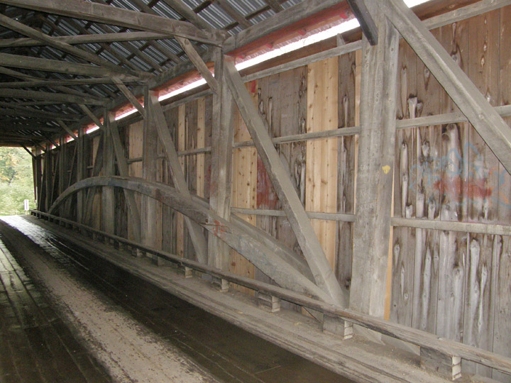
Burr Arch Truss
built in 1846
98 foot span
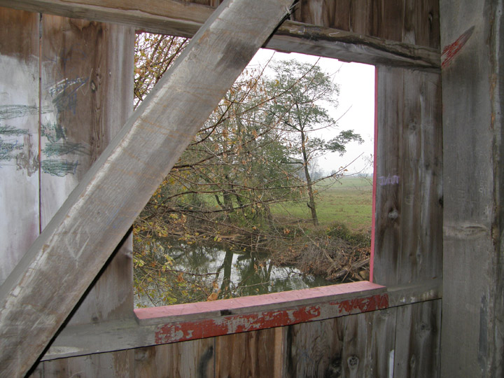
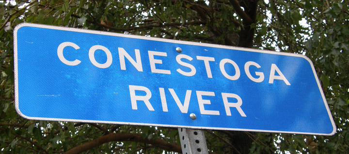
over the Conestoga River
Map of Latitude: 40.1403Longitude: -76.1520
People and Places