38-36-34
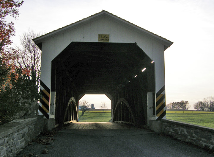
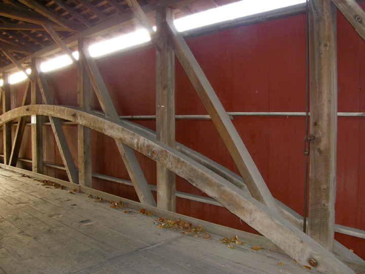
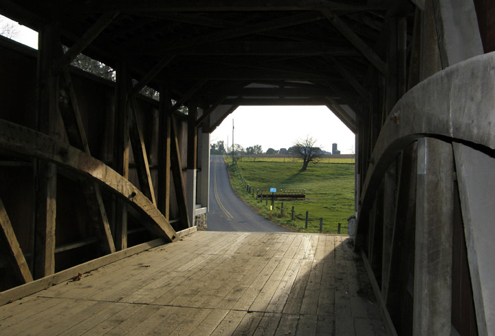
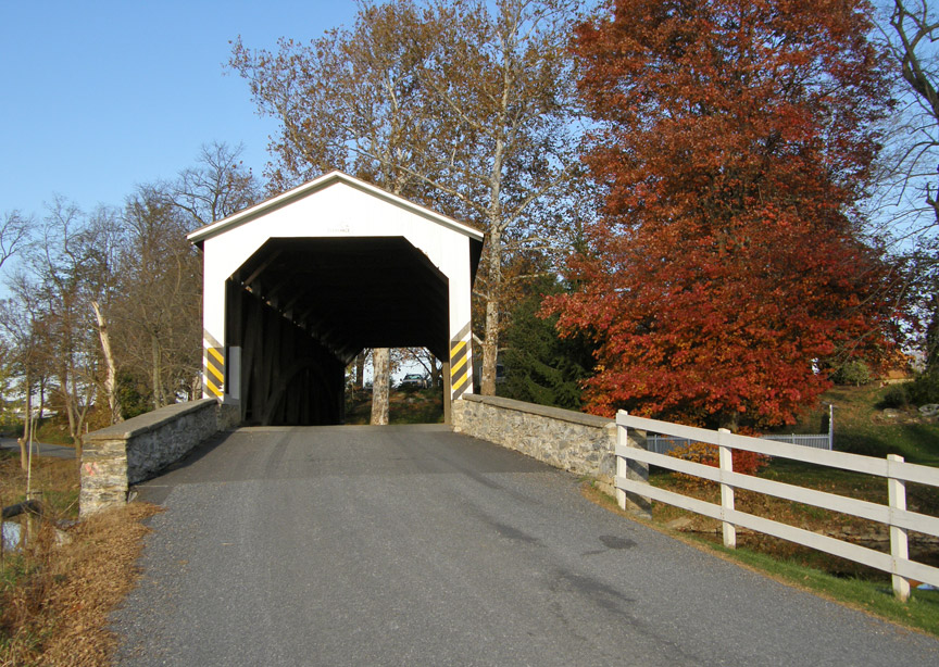
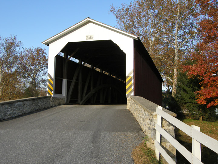
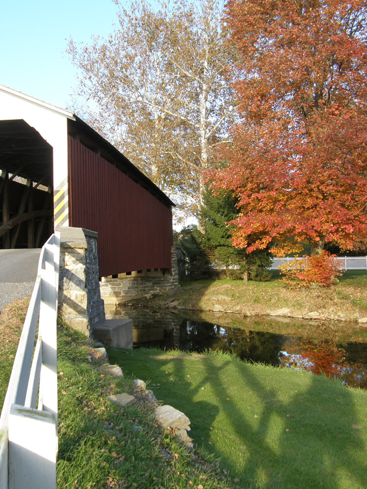
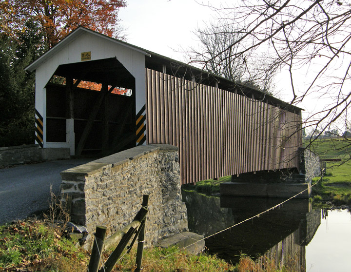
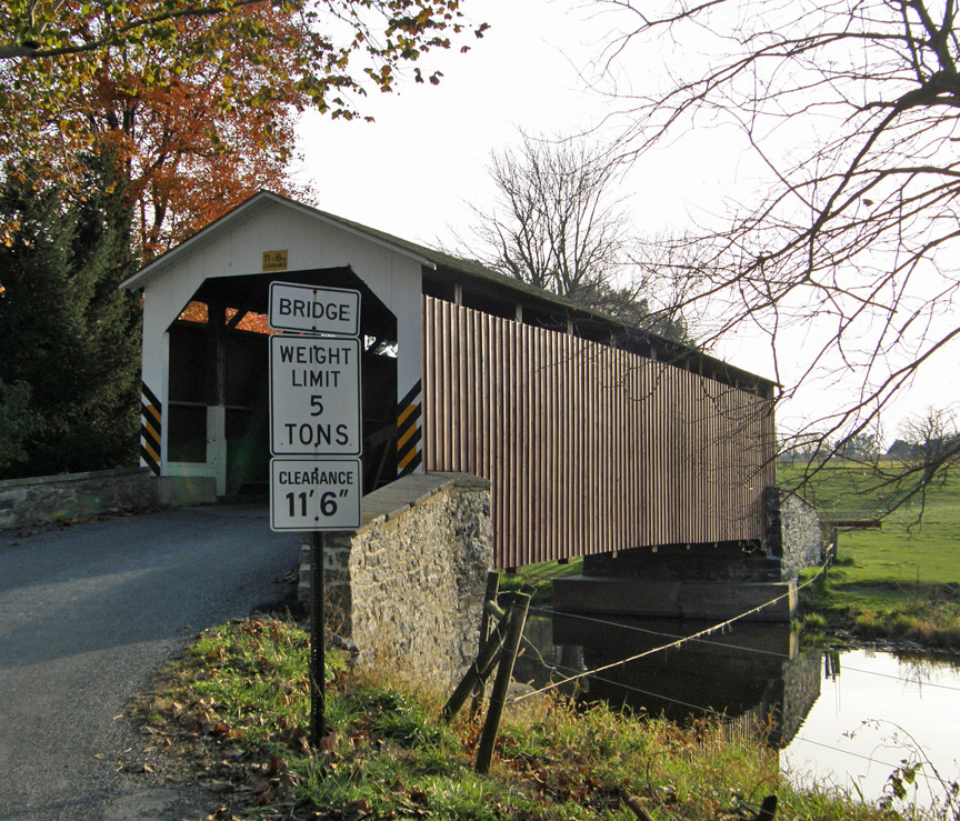
Erb Covered Bridge
Lancaster County
GPS
Latitude:
N40 10.04
Longitude:
W76 14.64
Burr Arch Truss
built in 1887
80 foot span
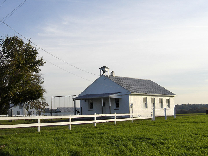
Amish school
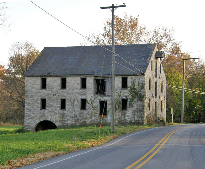
old mill
Map of Latitude: 40.1673Longitude: -76.2440
People and Places