


38-36-33
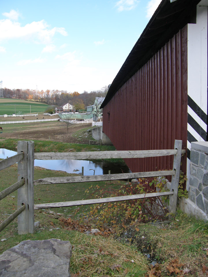
Jackson's Mill Covered Bridge
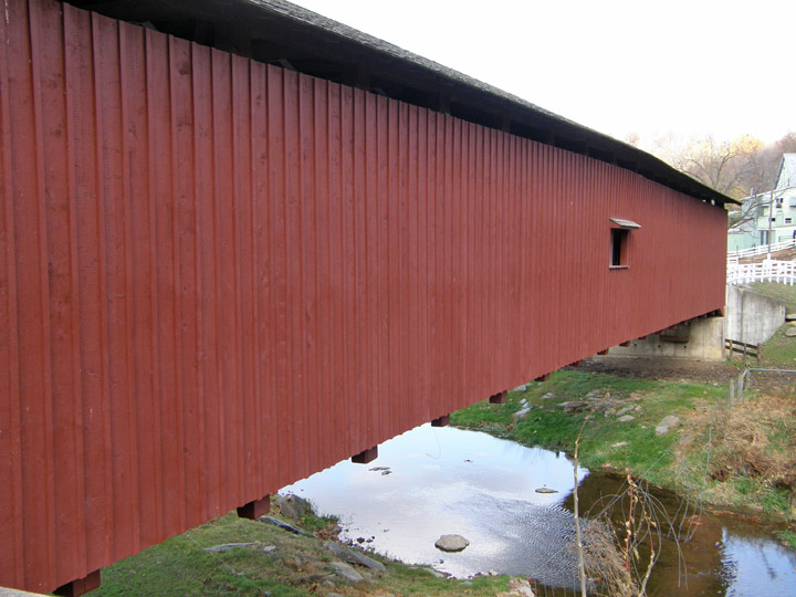
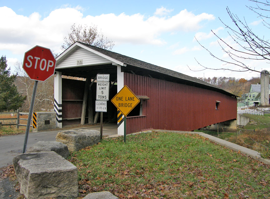
West Octoraro 1
Lancaster County
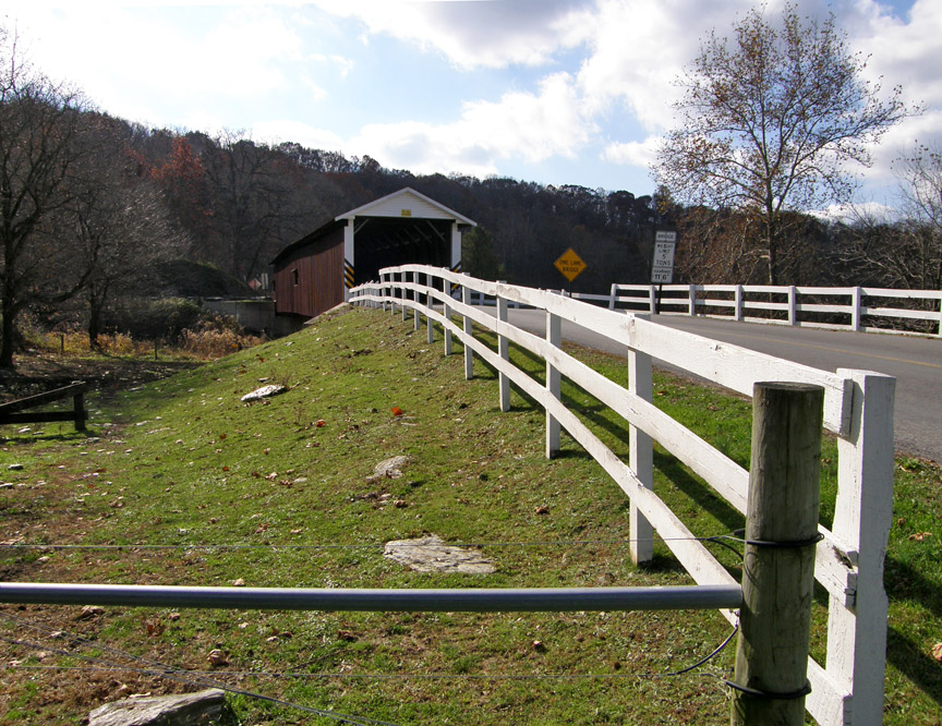
Jackson's Mill Covered Bridge
GPS
Latitude:
N39 53.82
Longitude:
W76 04.80
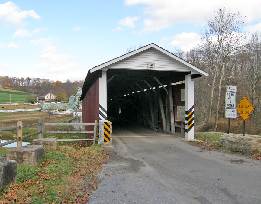
147 feet 5 inch length
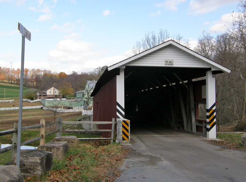
on Hollow Road
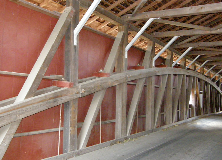
Burr Arch Truss
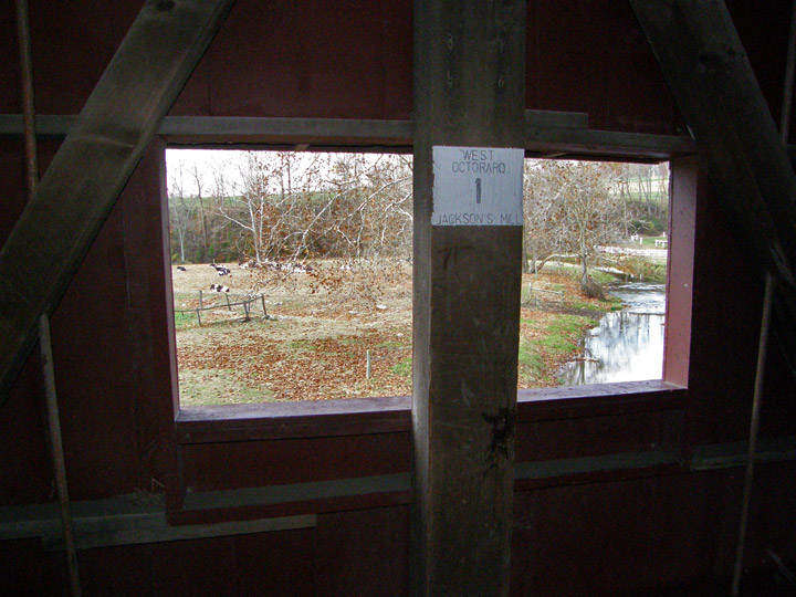
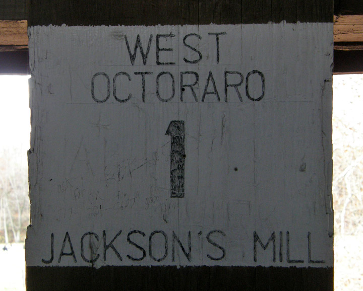
West Octoraro 1
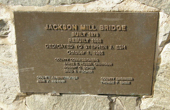
Jackson Mill Bridge
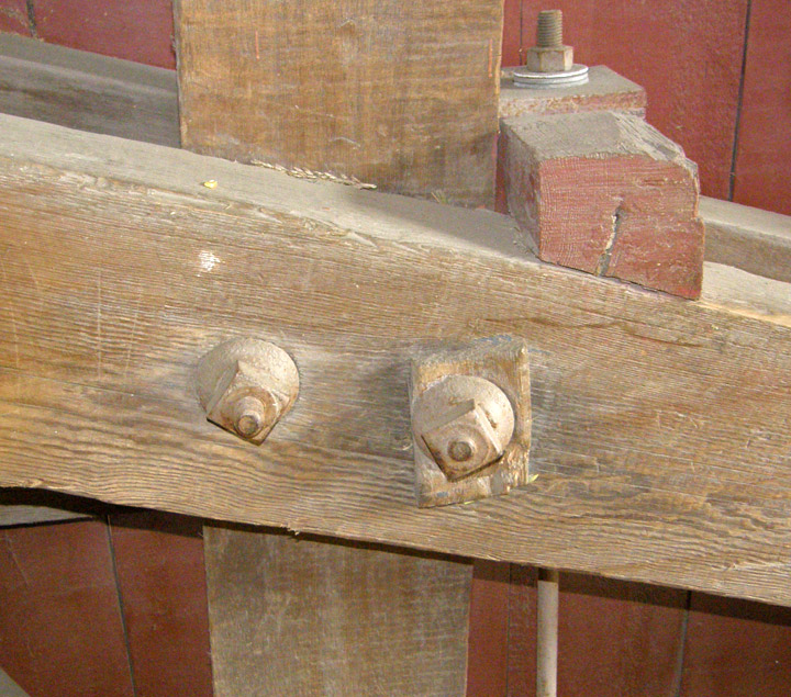
holding the arch truss together
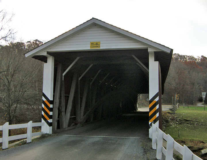
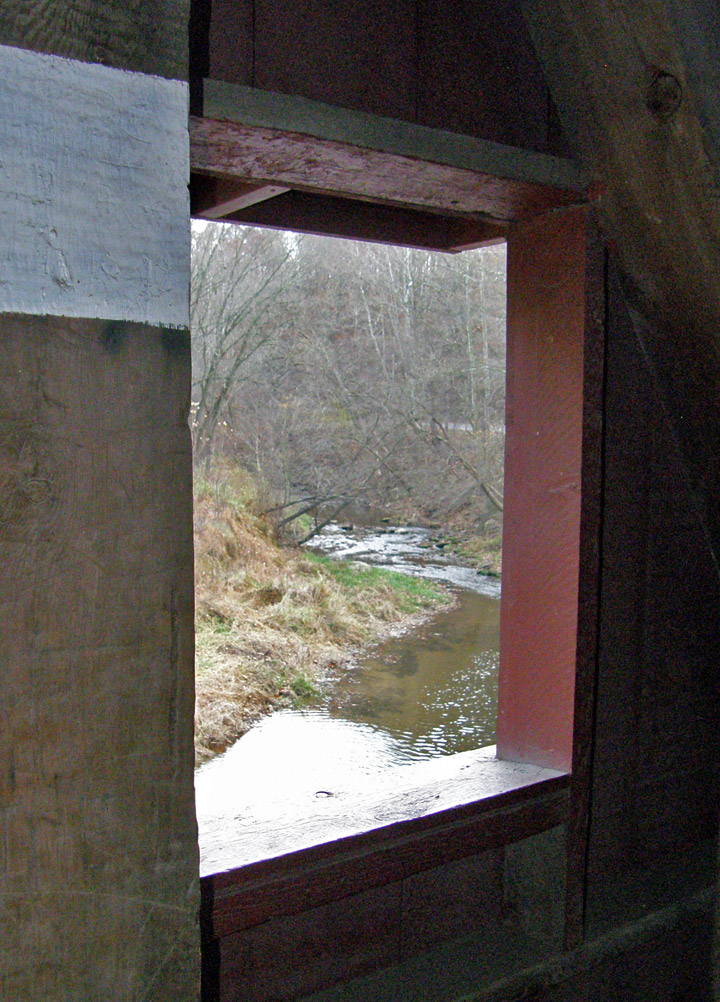
spanning West Octoraro creek
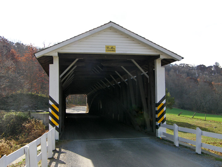
built in 1878
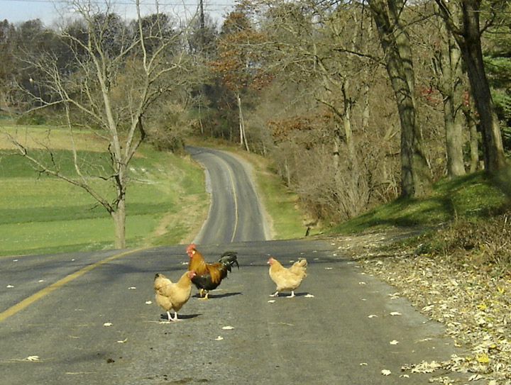
a rooster and his hens
on the road for a trot
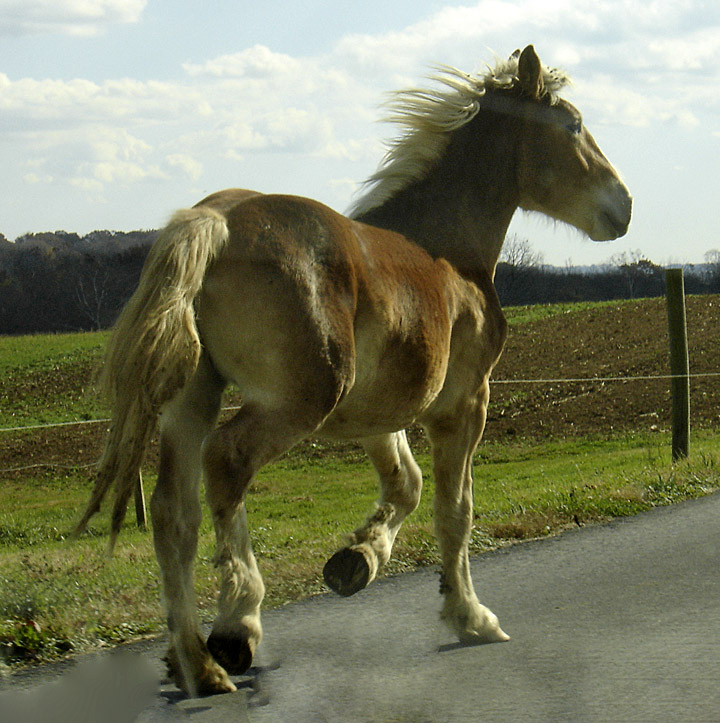
keeping to the left
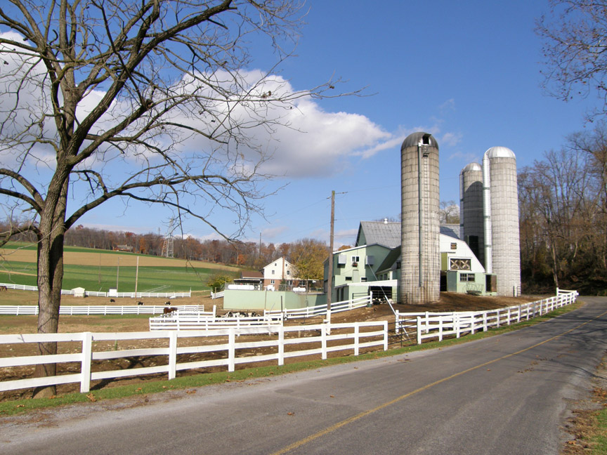
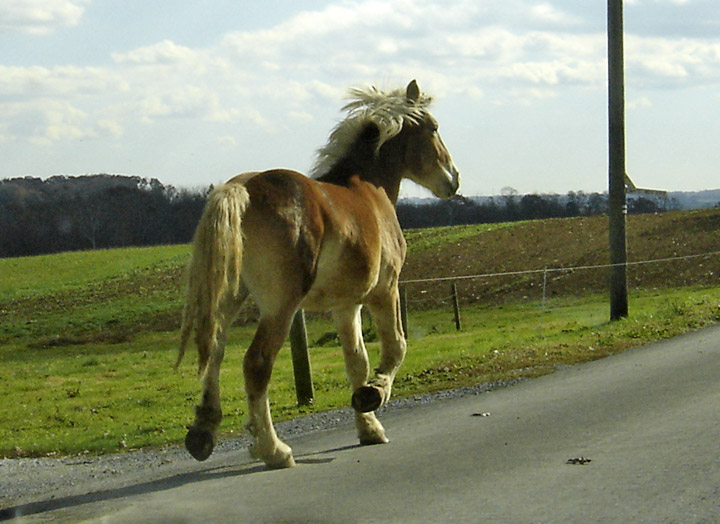
nearby farm