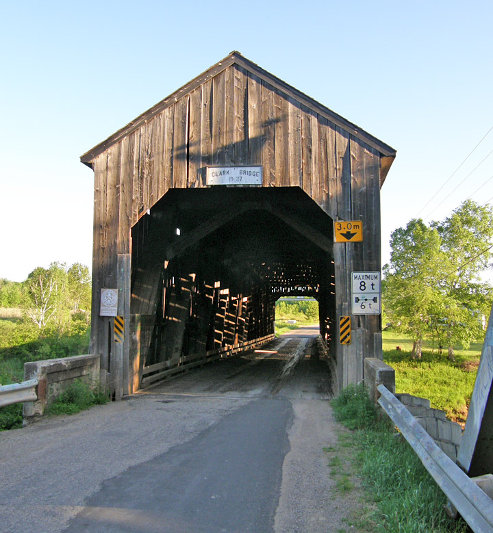
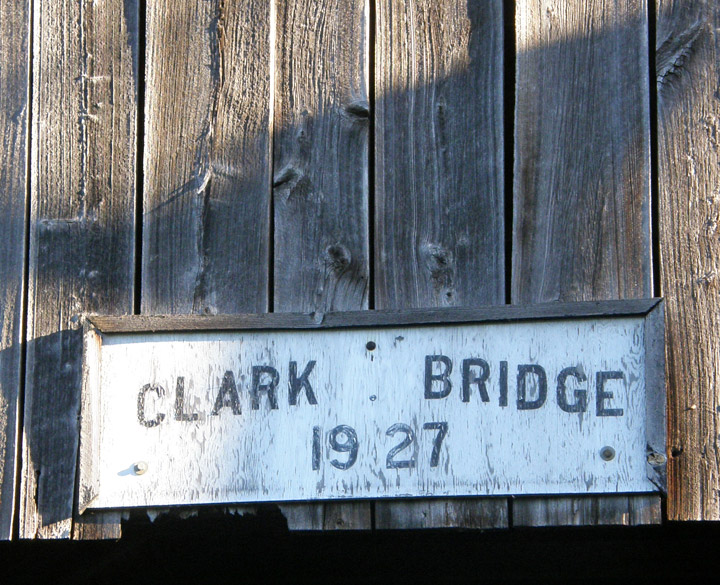
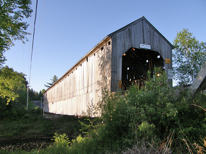
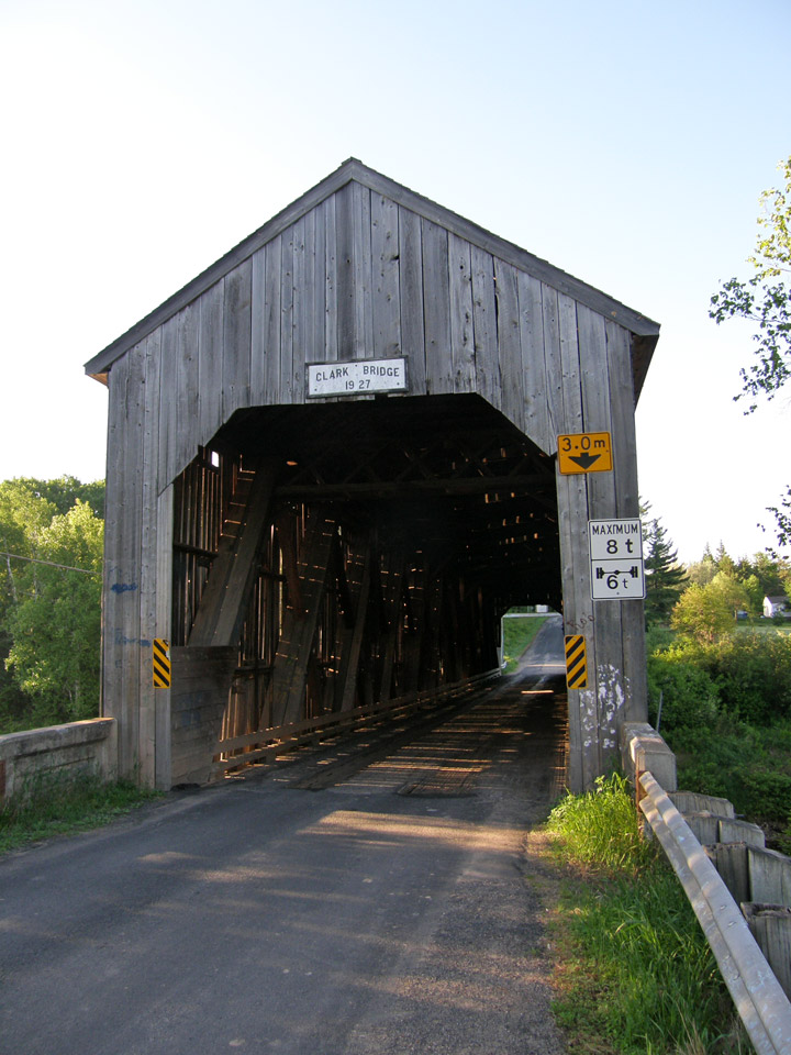
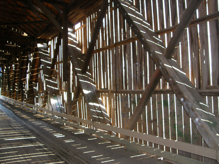
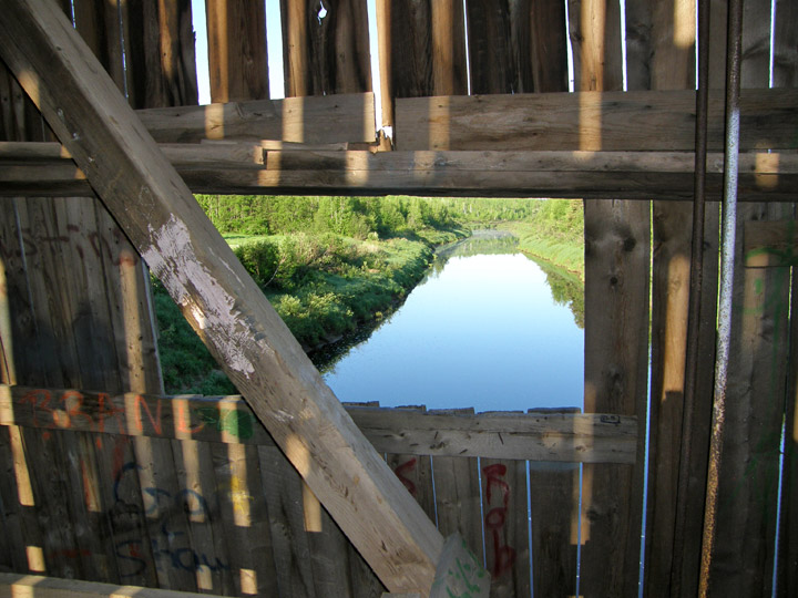
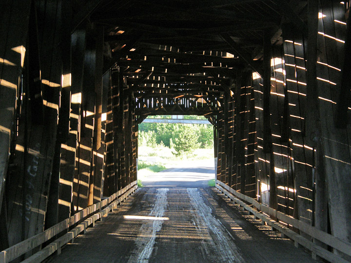
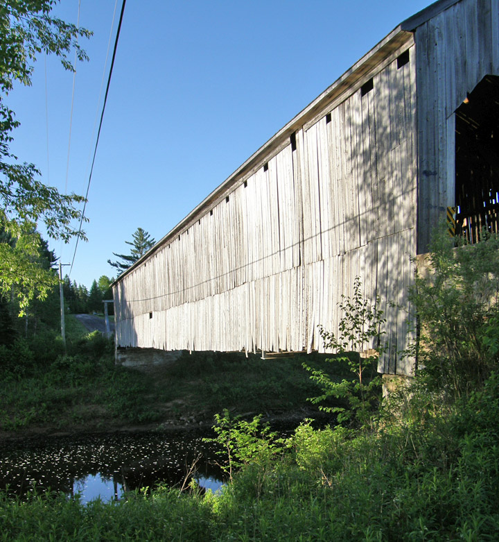
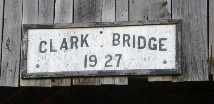
Clark Aaron Covered Bridge
Cannon River # 1
GPS
N 46 deg 03.113 min
W 65 deg 32.228 min
Map of Latitude: 46.051883Longitude: -65.537133
Span: 164' Length:168'
built in 1927
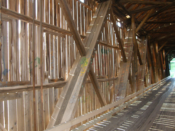
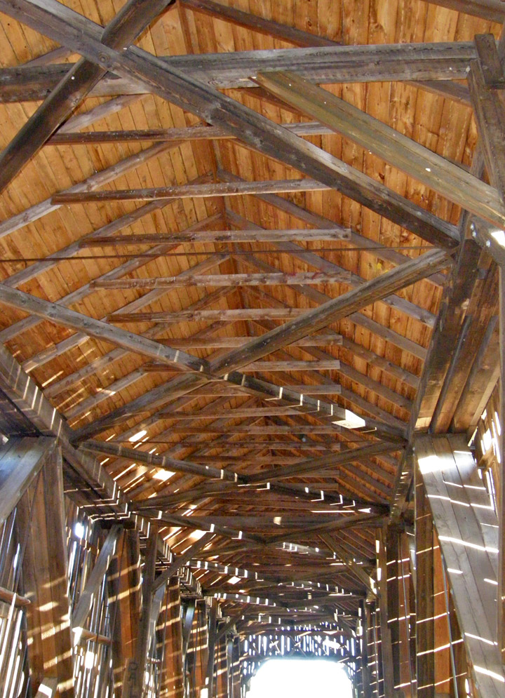
Howe Truss
People and Places