


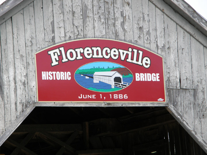
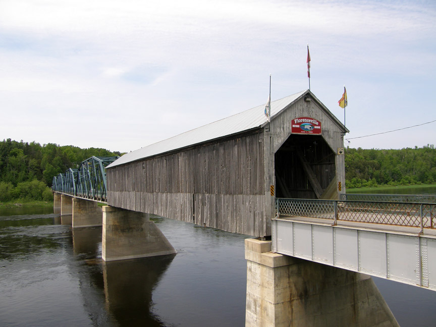
Florenceville Covered Bridge
Florenceville
Carleton County
55-02-06
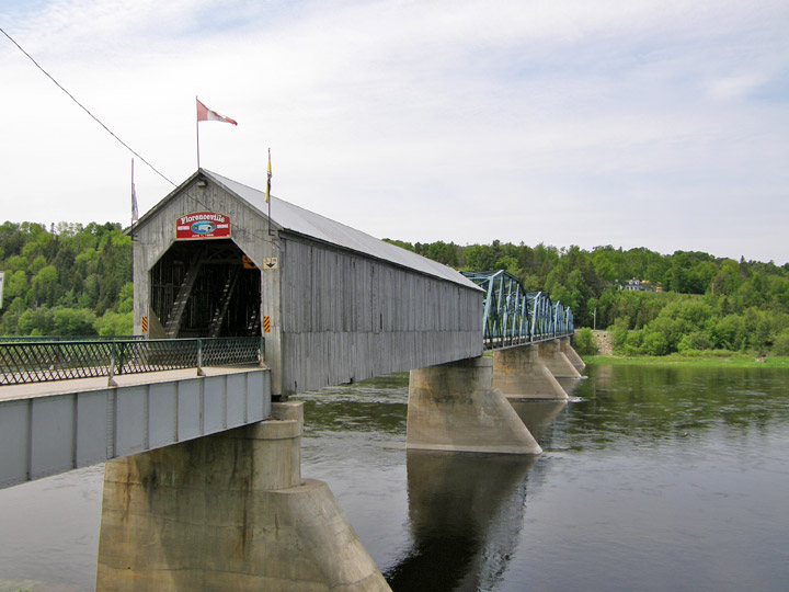
Florenceville Covered Bridge
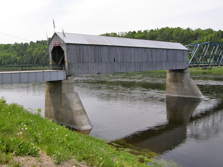
Span: 154' Length: 950'
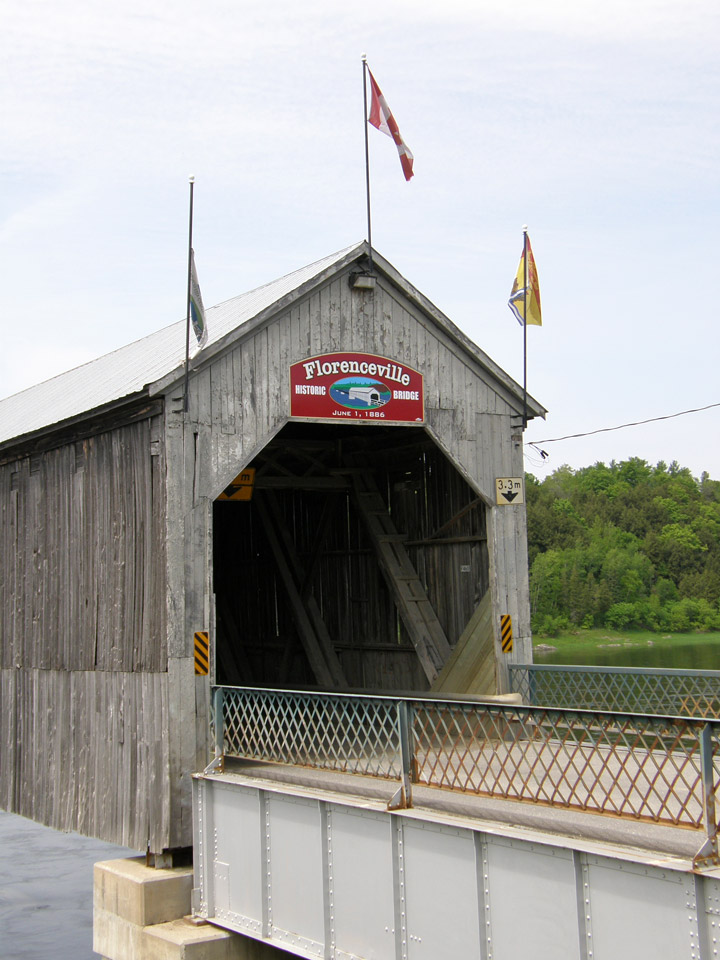
built in 1886
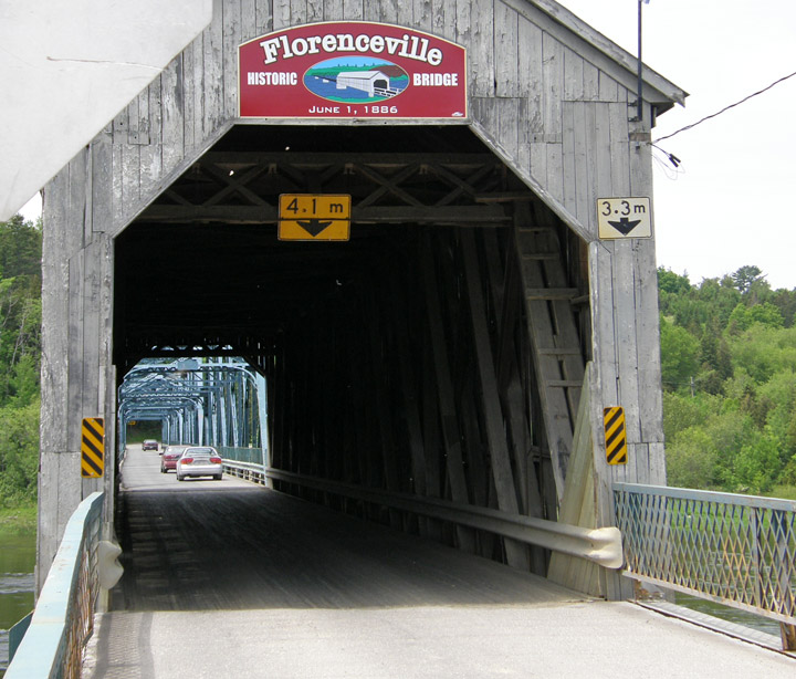
Howe Truss
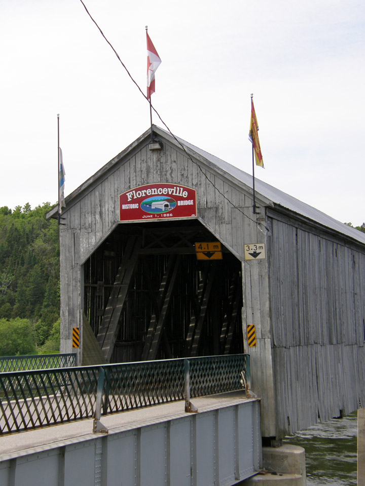
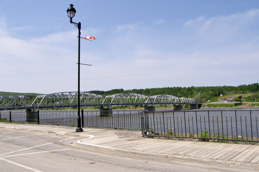
Saint John River

Location:
Over the St. John River in Florenceville Township.
0.3 (0.5 km) S. of jct TCH2 on NB105, then just right on Old Florenceville Bridge Rd