


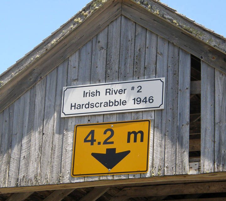
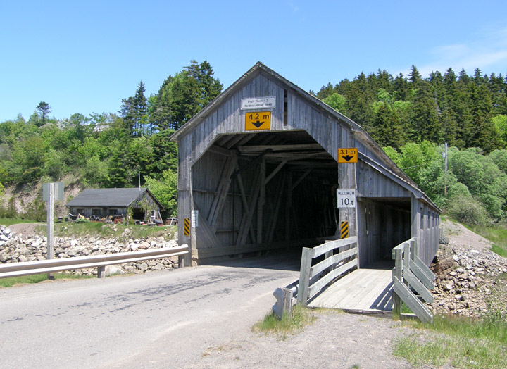
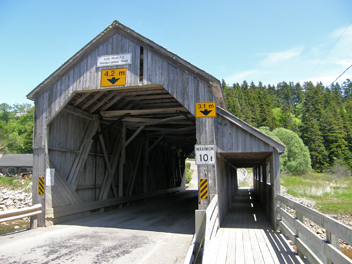
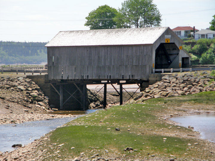
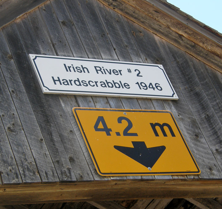
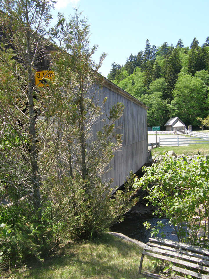
Irish River #2 Covered Bridge
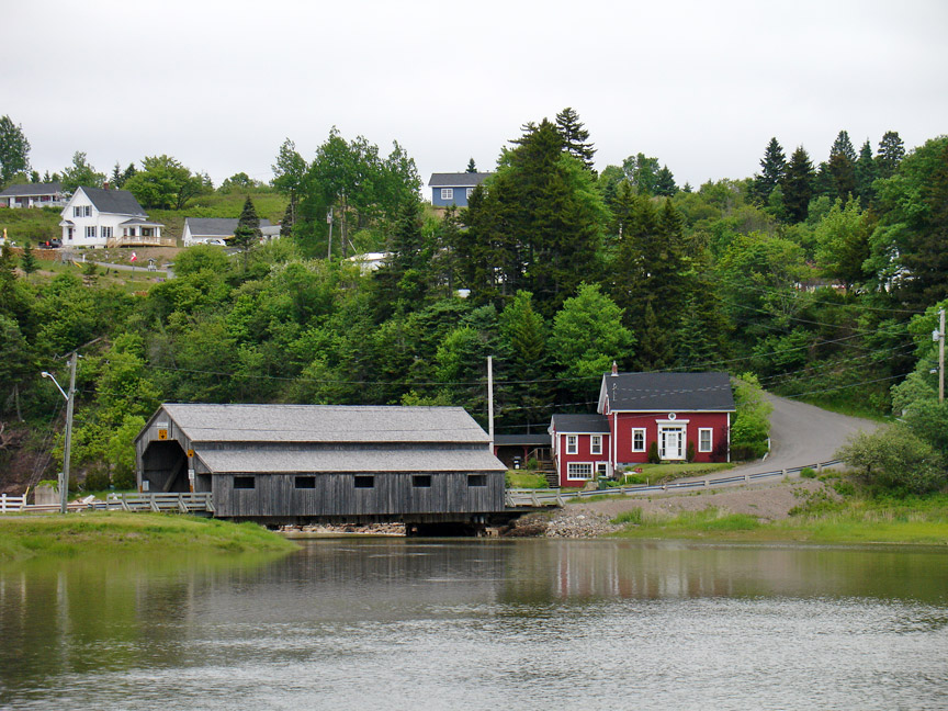
Vaughn Creek # 2
Hardscrabble
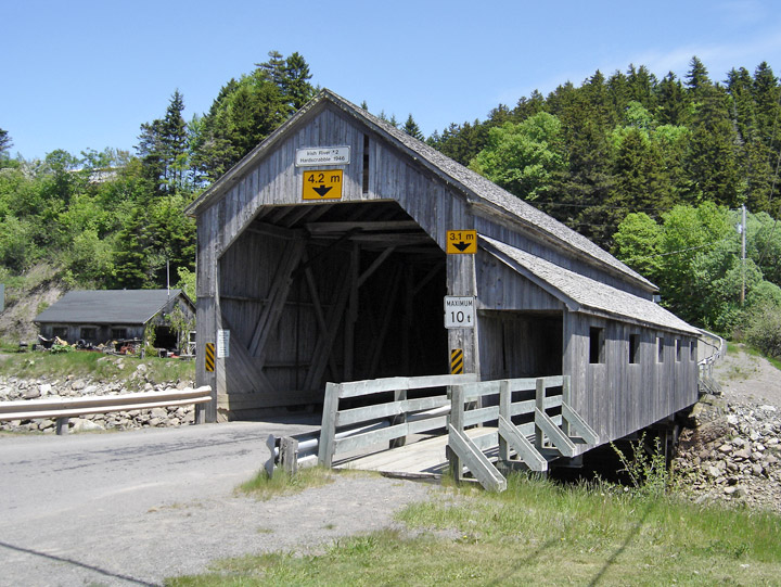
Irish River #2 Covered Bridge
GPS
N 45 deg 21.581 min
W 65 deg 31.980 min
Map of Latitude: 45.359700
Longitude: -65.533000
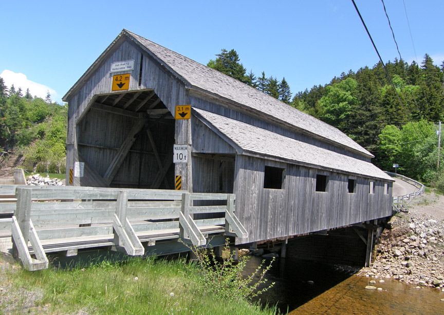
Span: 72' Length: 78' 4"
built in 1946
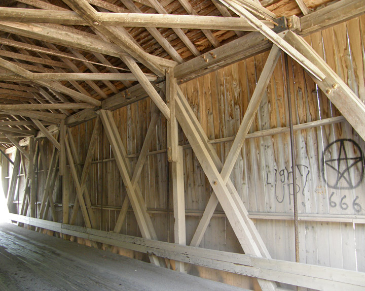
Howe Truss
walkway added in 1996
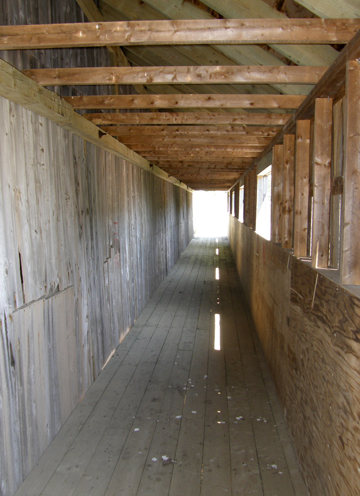
walkway
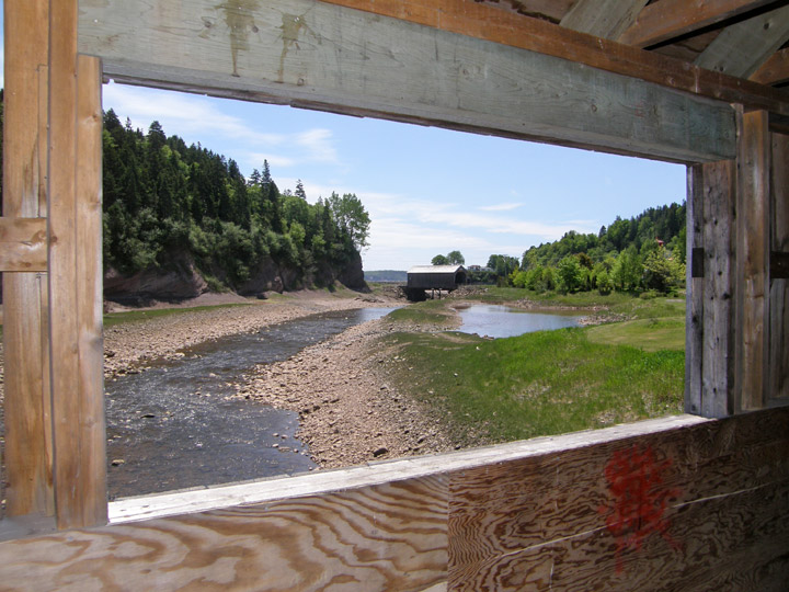
view of Irish River #1 Covered Bridge
Photos of Irish River #1 Bridge
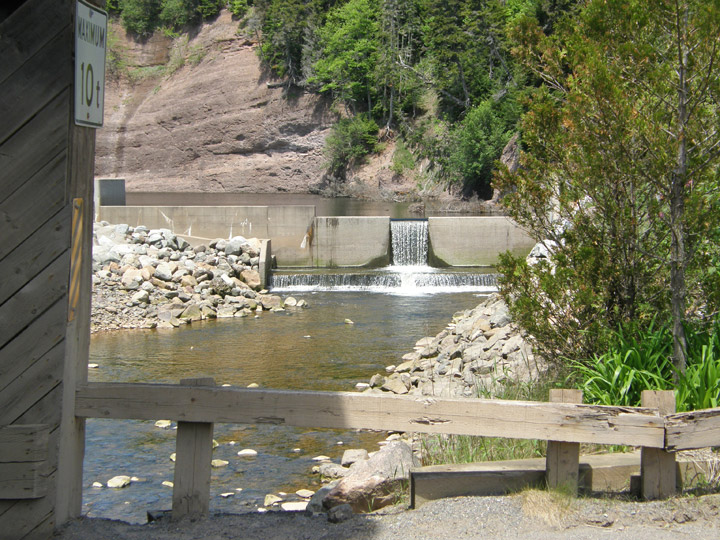
dam on Vaughan Creek
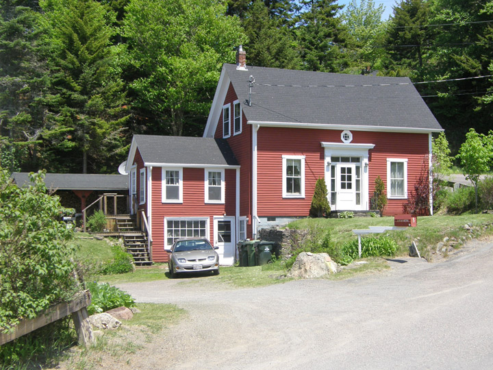
nearby residence