


Lake Taupo
Lake Taupo
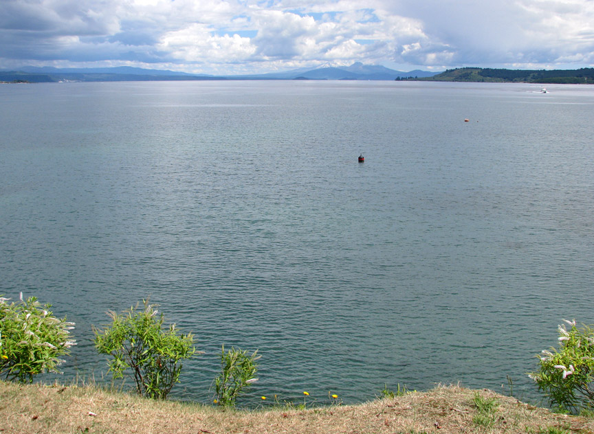
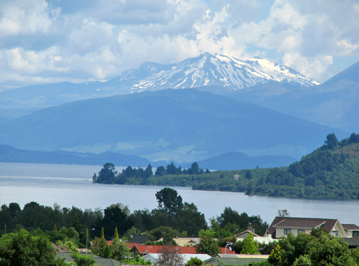
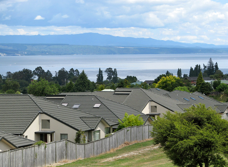
Lake Taupo is a lake situated in the North Island of New Zealand. It has a perimeter of approximately 193 kilometers, a deepest point of 186 meters and a surface area of 616 square kilometers. The largest lake by surface area in the country, it is drained by the Waikato River, while its main tributaries are the Waitahanui River, the Tongariro River, and the Tauranga-Taupo River. It is a noted trout fishery with stocks of introduced brown trout and rainbow trout.
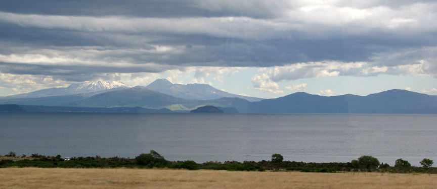
The lake lies in a caldera created following a huge volcanic eruption
approximately 26,500 years ago. According to geological records, the volcano has
erupted 28 times in the last 27,000 years. It has predominantly erupted
rhyolitic lava although Mount Tauhara formed from dacitic lava.
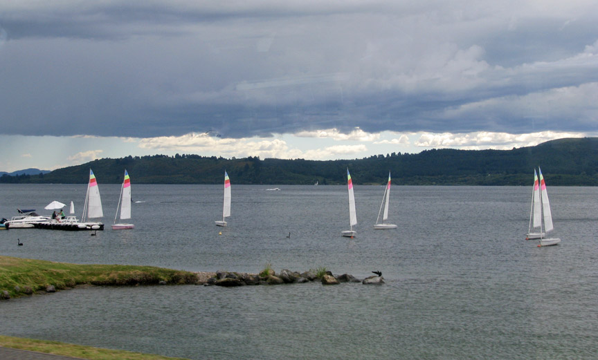
sailing on Lake Taupo
The largest eruption, known as the Oruanui eruption, ejected an estimated 1,170 cubic kilometers of material and caused several hundred square kilometres of surrounding land to collapse and form the caldera. The caldera later filled with water, eventually overflowing to cause a huge outwash flood.
Several later eruptions occurred over the millennia before the most recent major
eruption, which occurred in 180 CE. Known as the Hatepe eruption, it is believed
to have ejected 100 cubic kilometres of material, of which 30 cubic kilometres
was ejected in the space of a few minutes. This was one of the most violent
eruptions in the last 5,000 years (alongside the Tianchi eruption of Baekdu at
around 1000 and the 1815 eruption of Tambora), with a Volcanic Explosivity Index
rating of 7. The eruption column was twice as high as the eruption column from
Mount St. Helens in 1980, and the ash turned the sky red over Rome and China.
The eruption devastated much of the North Island and further expanded the lake.
The area was uninhabited by humans at the time of the eruption, since New
Zealand was not settled by the Māori until several centuries later at the
earliest. Taupo's last known eruption occurred around 210 CE, with lava dome
extrusion forming the Horomatangi Reefs, but that eruption was much smaller than
the 180 CE eruption.
The 180 eruption was one of the largest in recorded history. The skies and
sunsets formed from this eruption were noted by Roman and Chinese observers. Any
possible climatic effects of the eruption would have been concentrated on the
southern hemisphere due to the southerly position of Lake Taupo.
Underwater hydrothermal activity continues near the Horomatangi vent, and the
volcano is currently considered to be dormant rather than extinct.
Text from Wikipedia