
Saint Eustatius
also know as Statia
The Netherlands Windward Islands consist of the southern half of Saint Martin (Sint Maarten) and all of Saint Eustatius and Saba. These islands are situated at the northern end of the Lesser Antilles chain, to the southeast of Puerto Rico. The total population of the Netherlands Antilles (2000 estimate) is 209,888, and the islands' total area is 800 sq km (310 sq mi). The capital and largest city is Willemstad, population (1993 estimate) 130,000.
Text by Microsoft Encarta
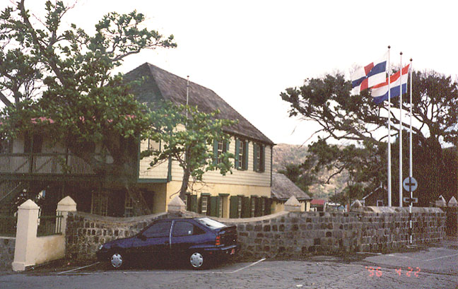
square in front of government house
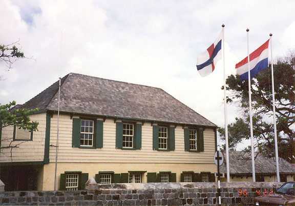
another view of government house
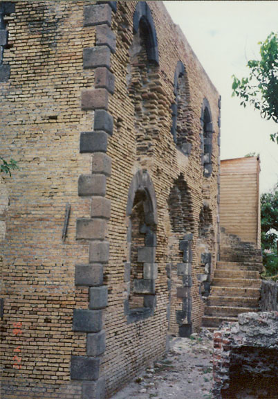
ruins of the old synagogue
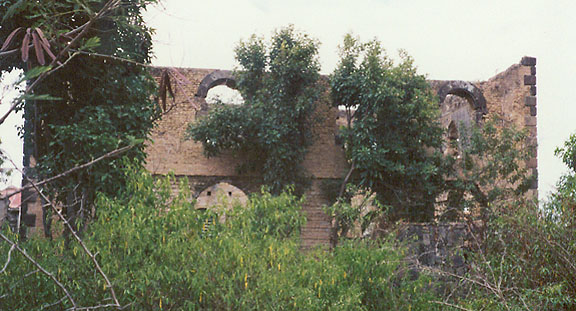
now hidden by the vegetation
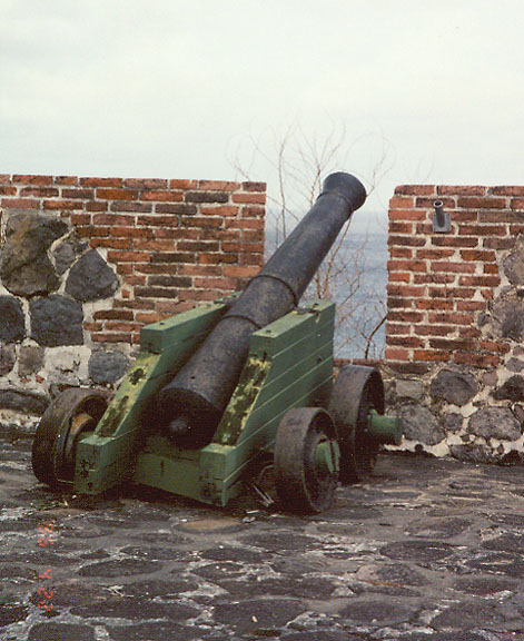
Fort Orange
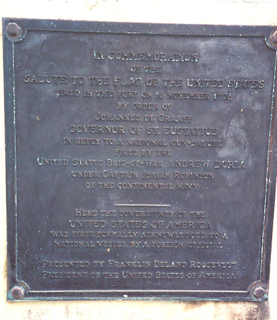
where the U.S. flag was first
recognized
by a foreign nation
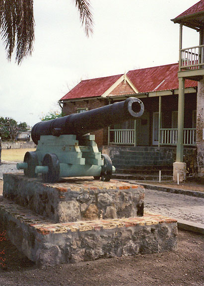
cannon in front of the Museum
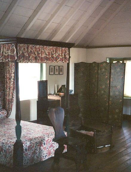
typical Dutch colonial room
in the Museum
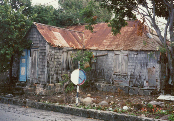
traditional style building
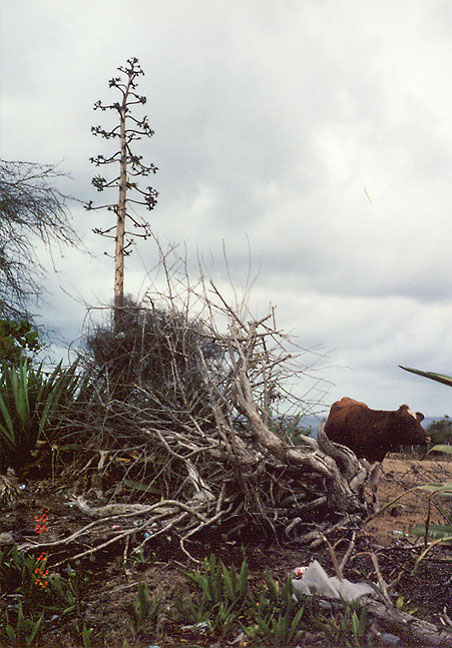
island vegetation
![]()
Return to Saint Eustatius main page


![]()