


Pictured Rocks
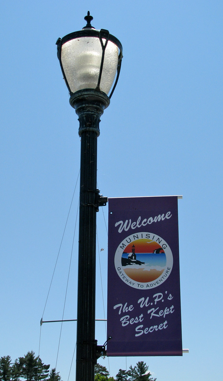
Munising, Michigan
Pictured Rocks National Lakeshore is a U.S. National Lakeshore on the shore of Lake Superior in the Upper Peninsula of Michigan, United States. It extends for 42 miles (67 km) along the shore and covers 73,236 acres (114 sq mi/296 km²). The park offers spectacular scenery of the hilly shoreline between Munising, Michigan and Grand Marais, Michigan, with natural archways, waterfalls, and sand dunes.
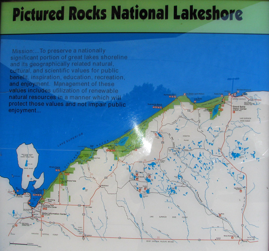
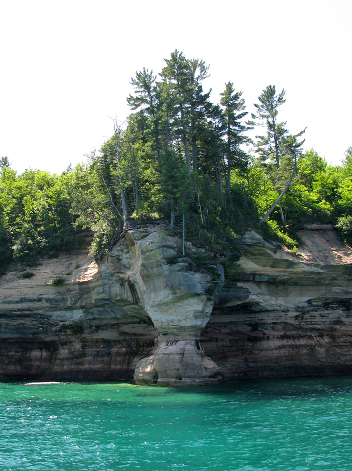
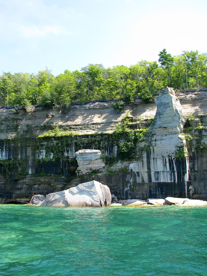
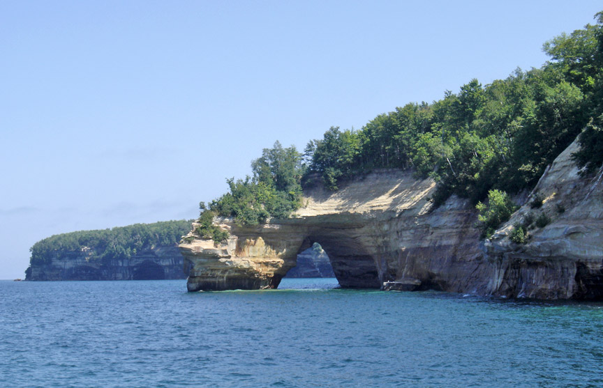
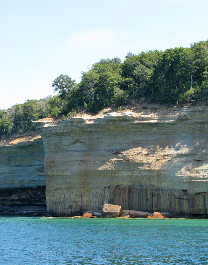
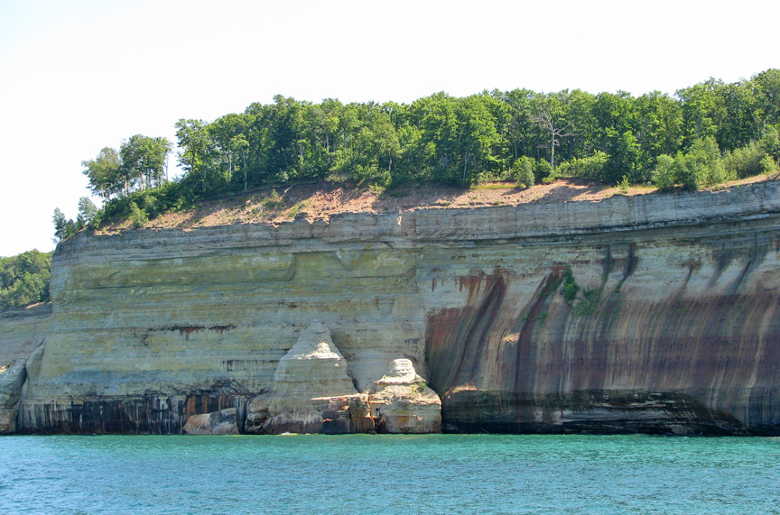
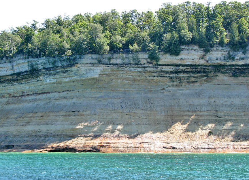
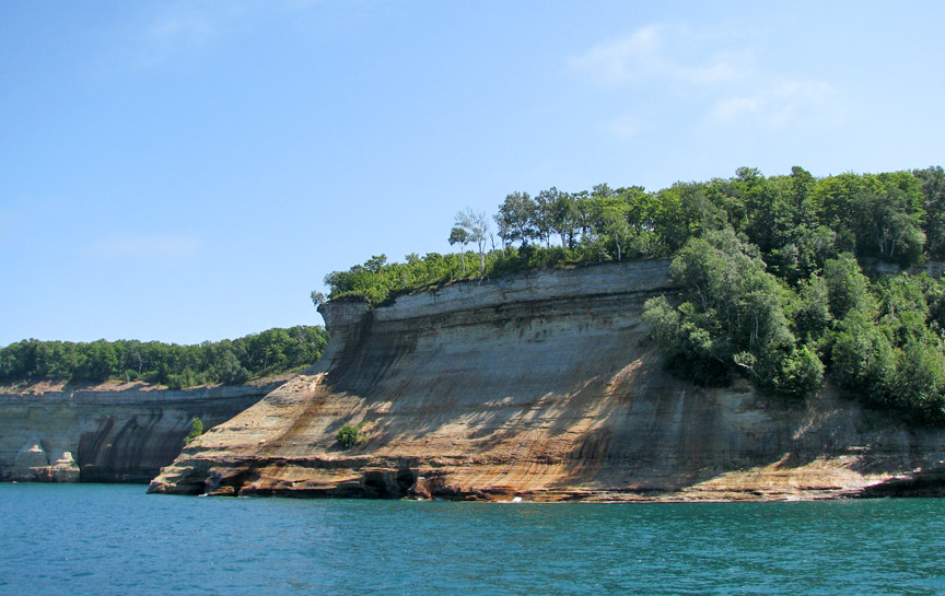
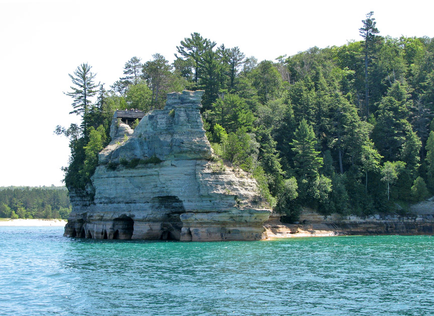
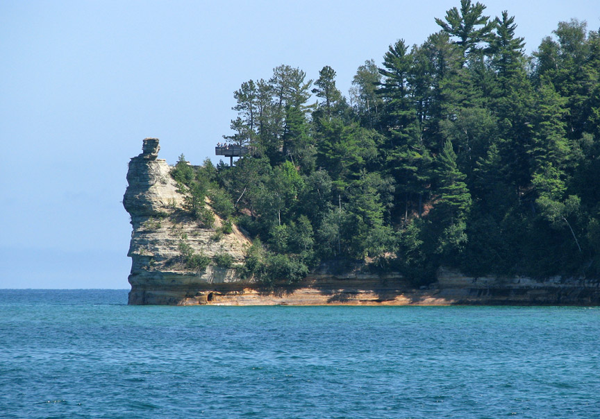
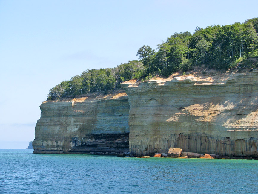
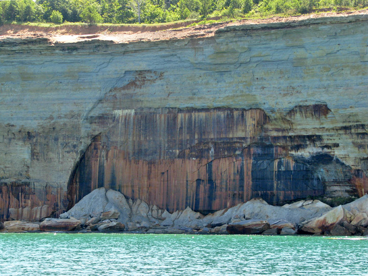
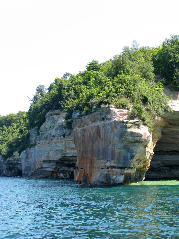
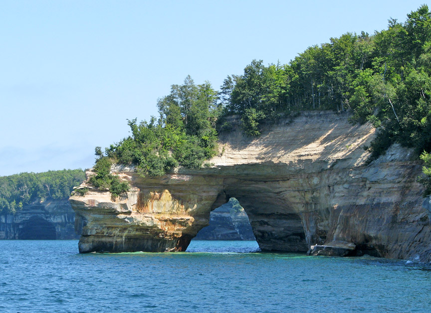
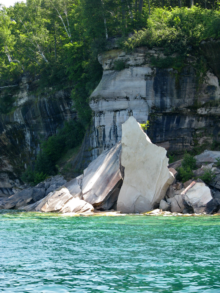
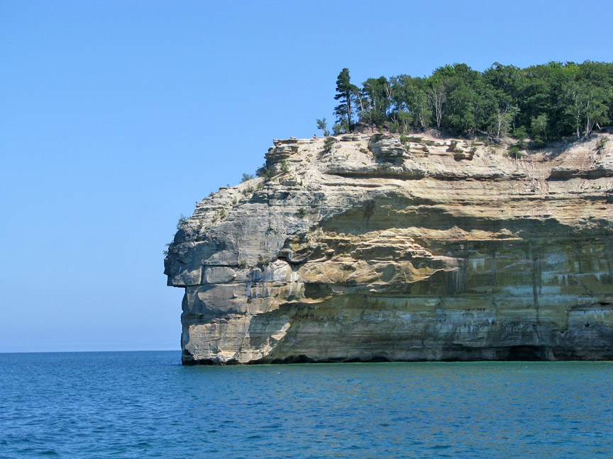
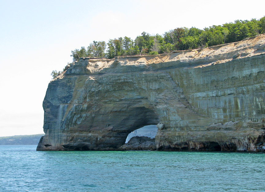
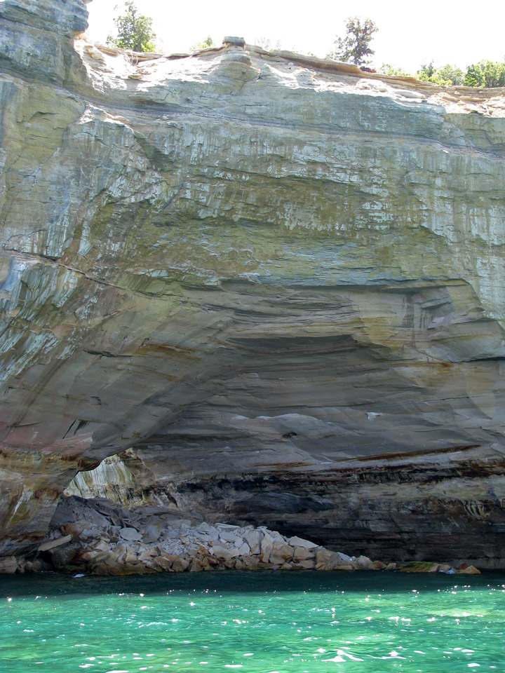
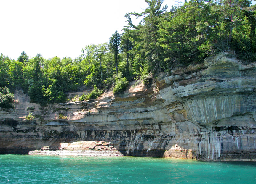
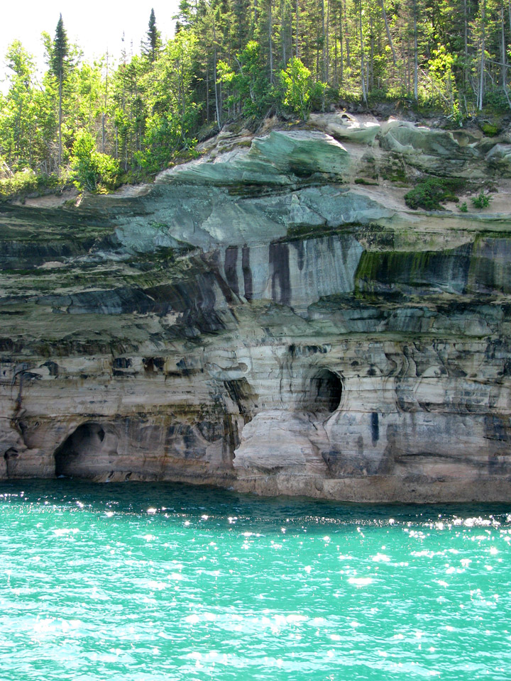
Pictured Rocks derives its name from the 15 miles (24 km) of colorful sandstone
cliffs northeast of Munising. The cliffs are up to 200 feet (60 m) above lake
level. They have been naturally sculptured into shallow caves, arches,
formations that resemble castle turrets, and human profiles, among others. Near
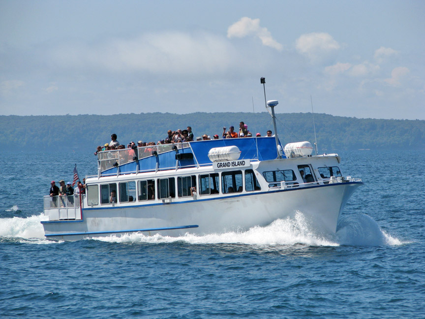
Munising visitors also can view Grand Island, most of which is included in the
Grand Island National Recreation Area and is preserved separately.
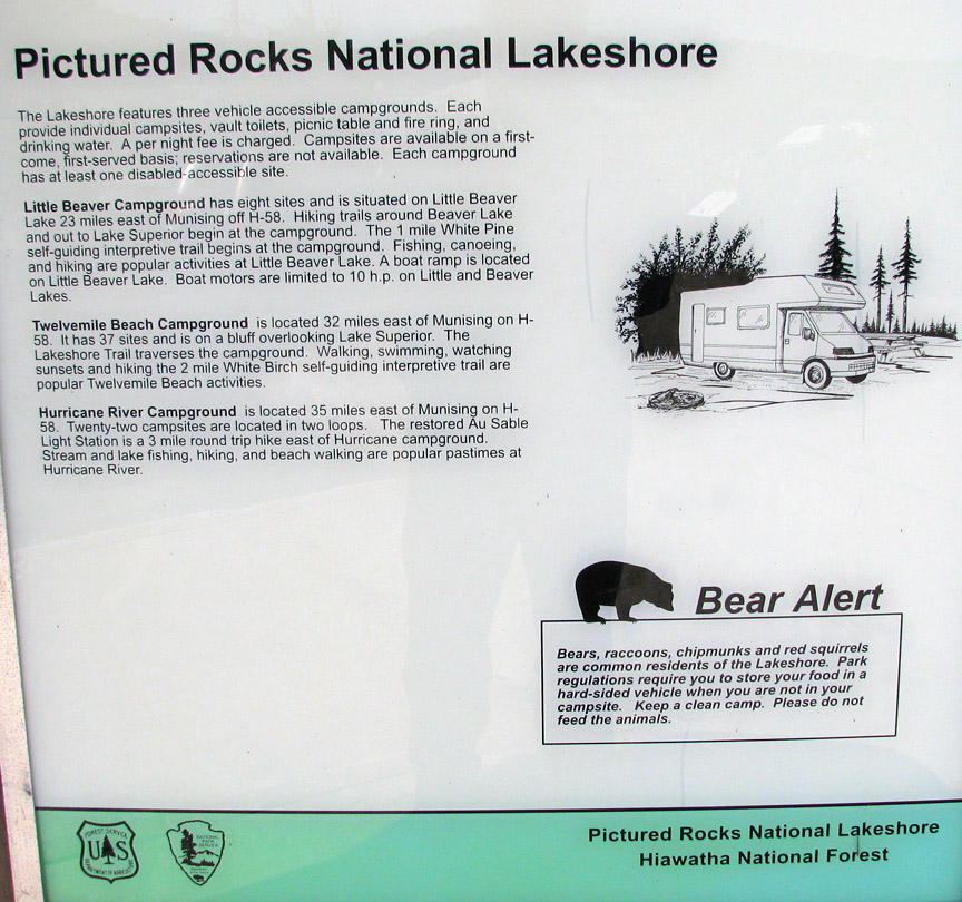
a place for camping
The U.S. Congress made Pictured Rocks the first officially-designated National Lakeshore in the United States in 1966. It is governed by the National Park Service (NPS), had 22 year-round NPS employees as of May 2006, and received 476,888 visitors in 2005.

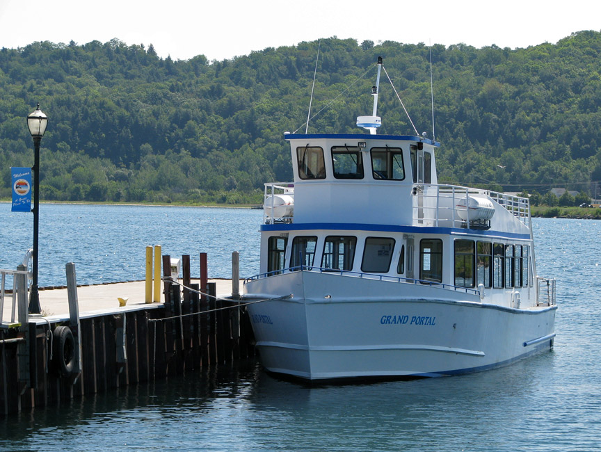
buy a ticket from the captain
Munising, on the western end of the lakeshore, is accessed by M-28 and M-94. Grand Marais, on the eastern end, is reached by M-77.
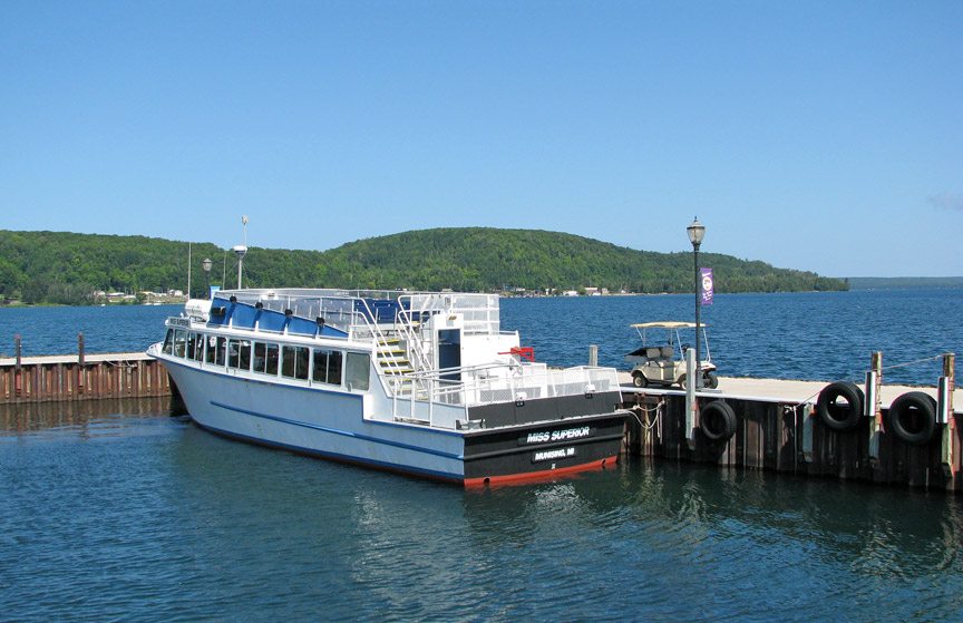
for a cruise on the lake viewing the pictured rocks
Paved highways penetrate part way into the lakeshore from both ends. Travelers seeking to drive from one end of the lakeshore to the other must use County Road H-58. Roads only come close to the shoreline near Miners Castle, 12 Mile Beach, and the Grand Sable Dunes. The rest of the shoreline is only seen from land by hiking.
A 42-mile (67-km) section of the North Country Trail spans the lakeshore.
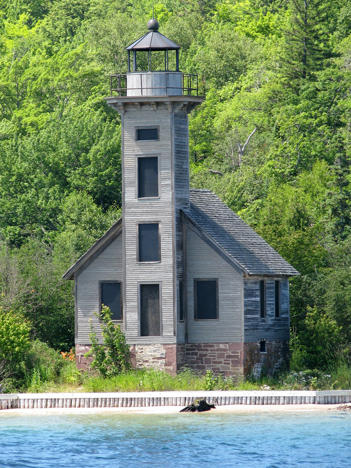
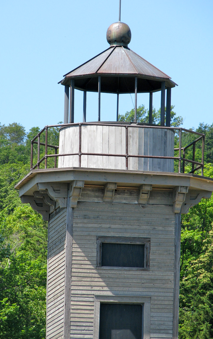
past the Grand Island East Channel lighthouse
Pictured Rocks Cruises offers daily trips from Memorial Day weekend through
October 10. Sea Kayaking is a popular method of exploring the park. and is the
best way to see it, although it is a serious trip in dangerous and cold water,
which should not be undertaken lightly or without proper equipment (dress for
the water temperature, not the air temperature). Guides are available. The most
efficient port of entry to Pictured Rocks, for a sea kayak, is from the harbor
at Munising.
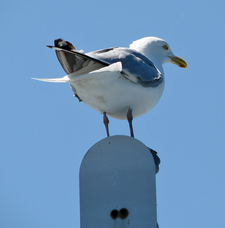
the guardian gull
Winter sports activities include cross-country skiing, snowshoeing, snowmobiling, and ice fishing.
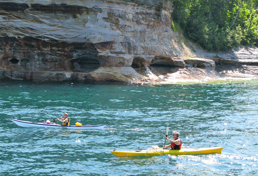
and sea kayakers
Although the Pictured Rocks lie adjacent to sections of Lake Superior that are rich in fish, the sandstone cliffs are dangerous to canoes and other open boats skirting the coastline. Pierre Esprit Radisson, the fur trader, made this risky passage in 1658 and noted that his Native American companions offered some tobacco to the local spirit of the cliffs.
flower pot
During the Romantic Era of the 1800s, a series of American writers described their feelings upon sight of the Pictured Rocks. Henry Rowe Schoolcraft paid a tribute in 1820 to "some of the most sublime and commanding views in nature." As long ago as 1850 developers platted a tourist resort, Grand Island City, adjacent to the Pictured Rocks near the current site of Munising.
After the lumbering era ended around 1910, many of the parcels of land making up
the current Pictured Rocks National Lakeshore reverted to the state of Michigan
for unpaid property taxes. Eager for federal help and recognition, the state
cooperated with the federal government in the region's redevelopment. Congress
enacted a law in 1966 to elevate the shoreline between Munising and Grand Marais
to the status of a National Lakeshore.
In October 1966, Congress passed a bill authorizing the establishment of the
Pictured Rocks National Lakeshore in Michigan's Upper Peninsula, “... in order
to preserve for the benefit, inspiration, education, recreational use, and
enjoyment of the public, a significant portion of the diminishing shoreline of
the United States and its related geographic and scientific features.” When
President Lyndon Johnson signed the bill, Alger County became the home of
America’s first National Lakeshore.
Text from Wikipedia
Miner's Castle
Indian head
arch with fallen material
and the return home