


Amelia Island

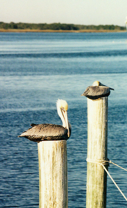
pelicans
Name: The Island was named by General James
Edward Oglethorpe in honor of Princess Amelia, the daughter of King George II of
England.
Location: Amelia Island is located at the extreme northeastern corner of
Florida, just across the St. Mary's River and Cumberland Sound from Georgia and
about 32 miles north of Jacksonville.
Elevation: The elevation of the Island is 20-25 feet above average mean sea
level.
Size: Amelia is 13.5 miles long; its width varies from one-quarter mile to two
miles, comprising 18.2 square miles and 11,600 acres, of which approximately 7
square miles lie within the city limits of Fernandina Beach.
Population: The 1990 census recorded a Nassau County population of 43,941, of
which approximately one-third lived on Amelia Island. The projected Nassau
County population for 1995 was 57,181.
Temperature: The annual average mean temperature for the Island is 69.9 degrees.
Main Attractions: Amelia's main attractions are its beaches, fishing, golf,
Fort Clinch (which offers sightseeing and
the Island's only camping facilities) and Fernandina Beach's 50-block Historic
District, which is on the National Register of Historic Places.
Principal Industries: The Island's principal industries are tourism and commercial
fishing.
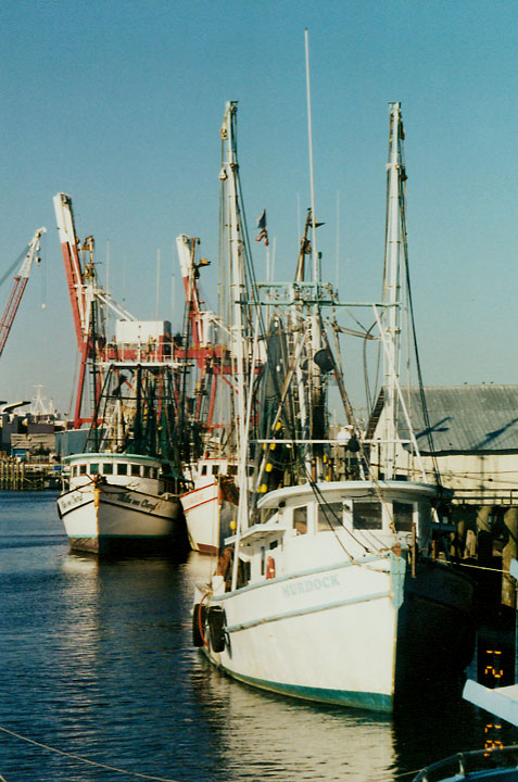
fishing boats
![]()
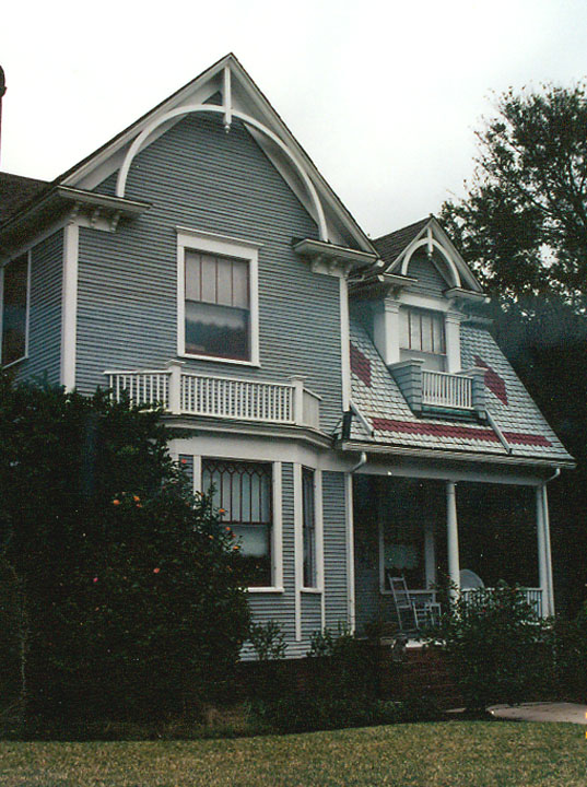
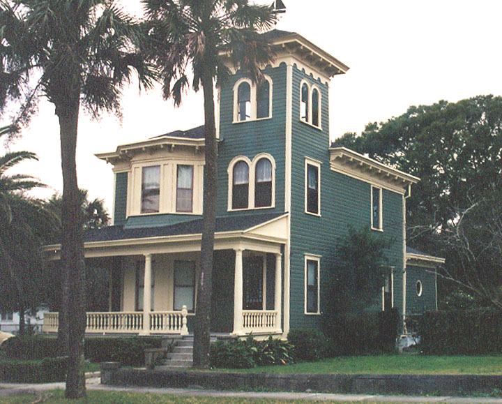
Fernandina Beach's 50-block Historic District
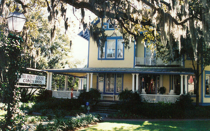
Hoyt House
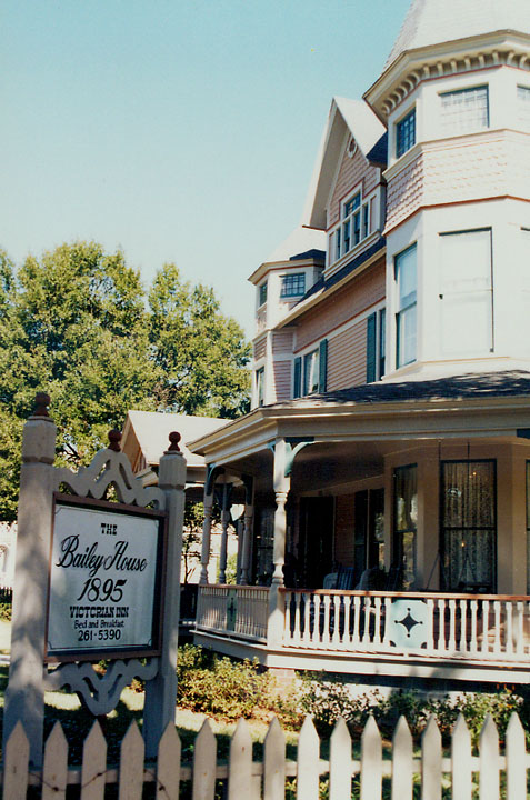
Bailey House
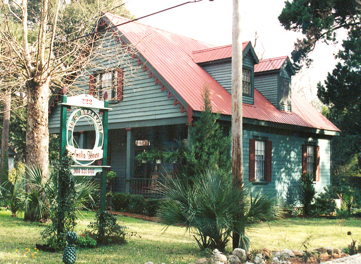
Amelia House
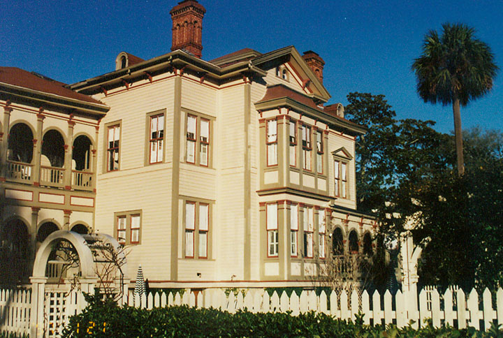
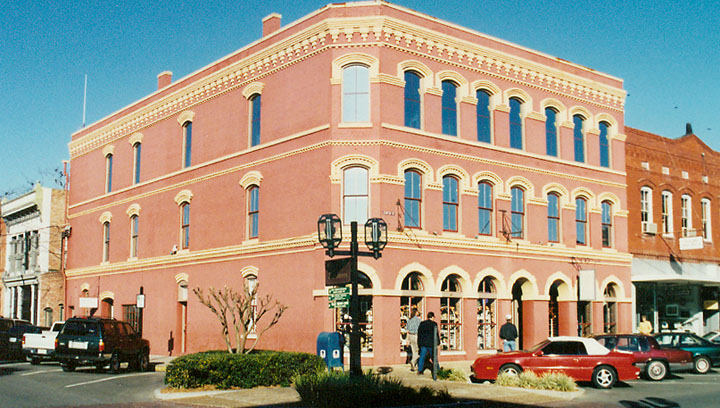
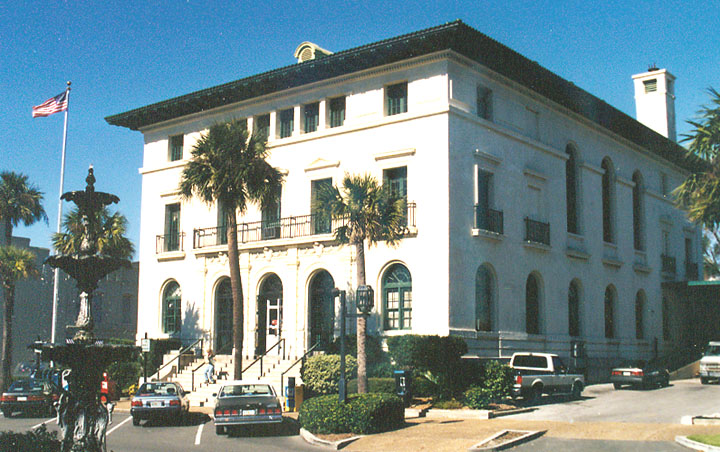
Italianate style
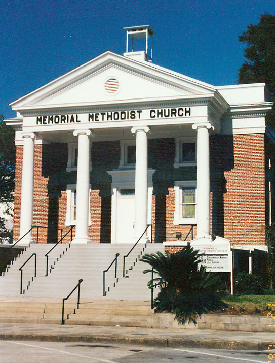
Methodist church
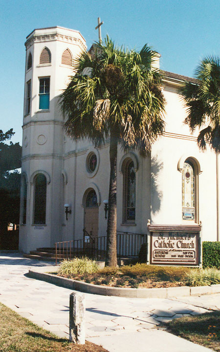
Catholic church
![]()
Railroad across Florida
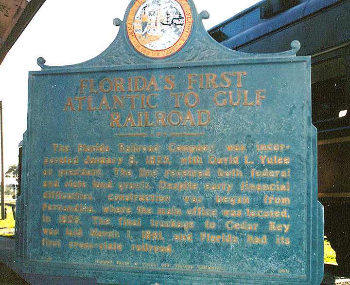
1853 - 1861 constructed across Florida
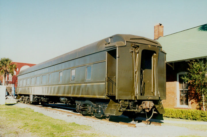
one of the surviving rail cars
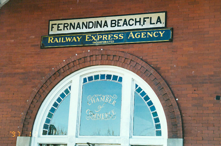
Fernandina Beach station
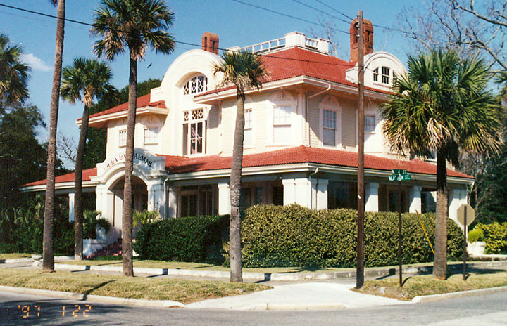
Villa Las Palmas
(the Yulee residence)
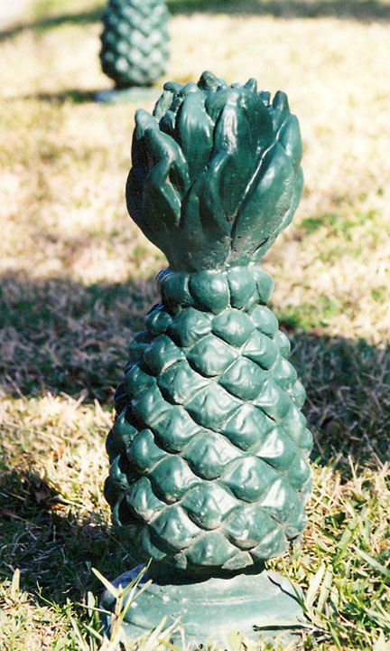
the pineapple yard ornament
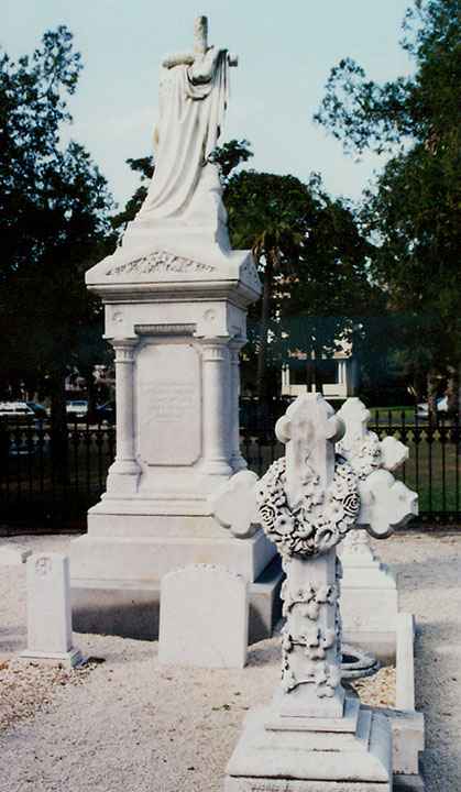
Yulee graves
![]()
Eight Flags
from the many times this city changed national allegiances
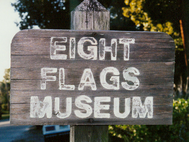
sign from the former eight flags museum
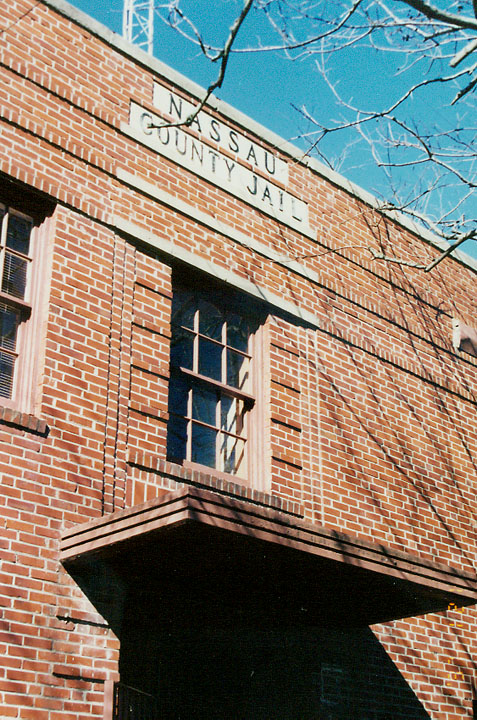
housed in the former jail
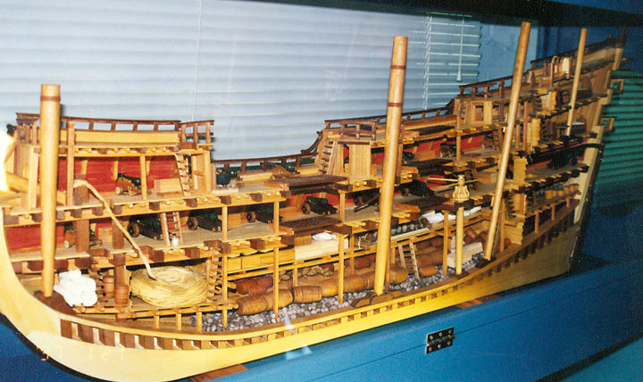
a model of a Spanish Galleon
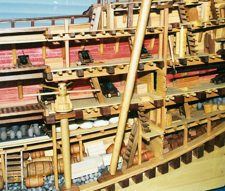
detail of the deck area
![]()


![]()