


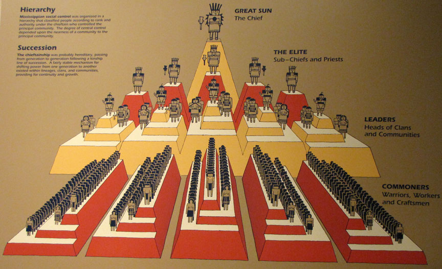
Cahokia
Cahokia is the site of an ancient
indigenous city (ca 600–1400 CE) near Collinsville, Illinois. In the American
Bottom floodplain, it is across the Mississippi River from St. Louis, Missouri.
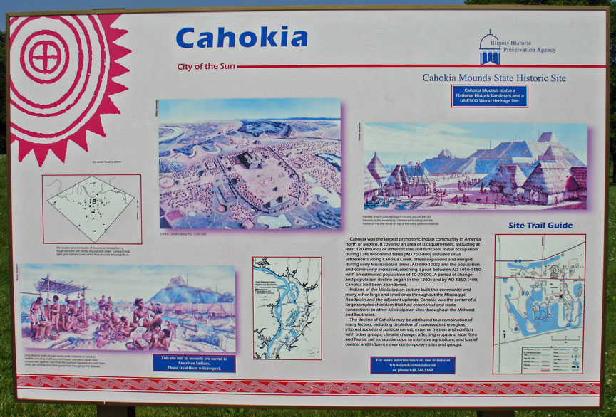
The 2,200-acre (8.9 km2) site included 120 man-made earthen mounds over an area
of six square miles, although only 80 survive. Cahokia Mounds is the largest
archaeological site related to the Mississippian culture, which developed
advanced societies in eastern North America centuries before the arrival of
Europeans.
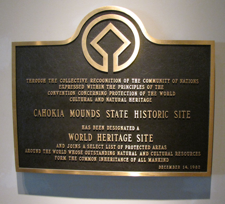
a World Heritage Site.
Cahokia Mounds was designated a National Historic Landmark on July 19, 1964, and
listed on the National Register of Historic Places on October 15, 1966. In 1982
UNESCO designated Cahokia Mounds State Historic Site a World Heritage Site. The
park protects 2200 acres (8.9 km²), and is the focus of ongoing archaeological
research. This is one of only twenty cultural World Heritage Sites in the United
States, the only one in Illinois, as designated by the United Nations
Educational, Scientific and Cultural Organization (UNESCO).
Cahokia was settled around 600 CE during the Late Woodland period.
Mound building at this location did not begin until about 1050 CE, at the beginning of the Mississippian cultural period. The inhabitants left no written records beyond symbols on pottery, shell, copper, wood, and stone, but the elaborately planned community, woodhenge, mounds, and burials reveal a complex and sophisticated society. The city's original name is unknown.
The original site contained 120 earthen mounds over an area of six square miles,
although only 80 survive today. To achieve that, thousands of workers over
decades moved more than an "estimated 55 million cubic feet of earth in woven
baskets to create this network of mounds and community plazas. Monks Mound, for
example, covers 14 acres, rises 100 feet, and was topped by a massive 5,000
square-foot building another 50 feet high."
The Mounds were named after a clan of historic Illiniwek people living in the
area when the first French explorers arrived in the 1600s. As this was centuries
after Cahokia was abandoned by its original inhabitants, the Cahokia were not
necessarily descendants of the original Mississippian-era people. Scholars do
not know which Native American groups are the living descendants of the people
who originally built and lived at the Mound site, although many are plausible.
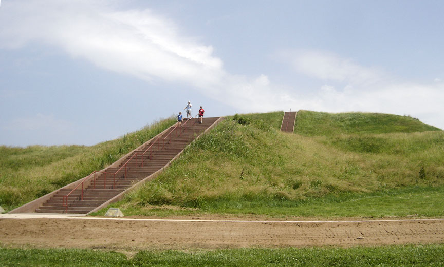
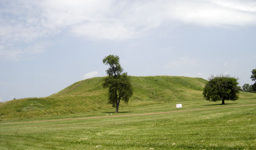
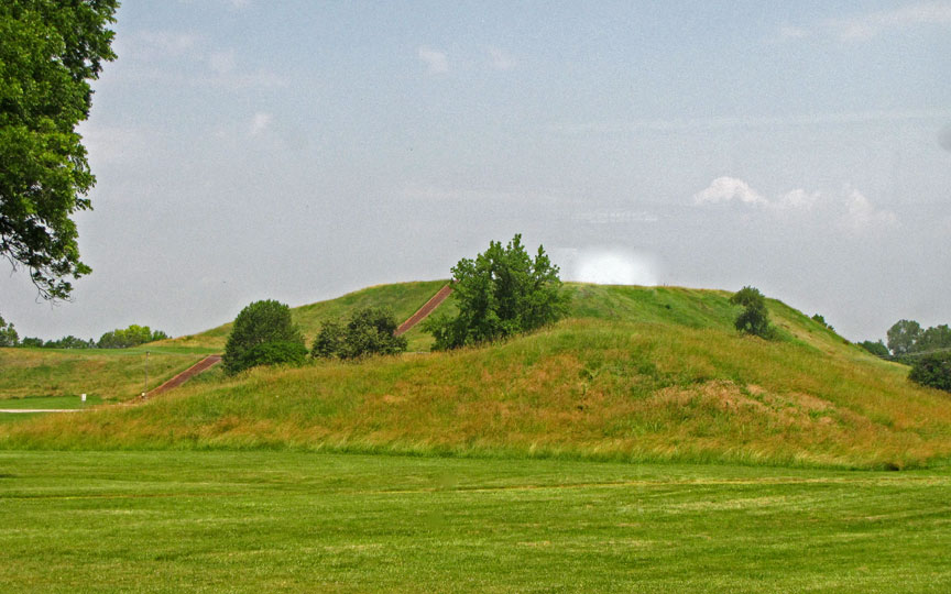
Monks Mound
Monks Mound is the largest structure and central focus of the city. A massive structure with four terraces, 10 stories tall, and the largest man-made earthen mound north of Mexico. Facing south, it is 92 feet (28 m) high, 951 feet (290 m) long and 836 feet (255 m) wide.
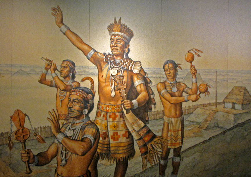
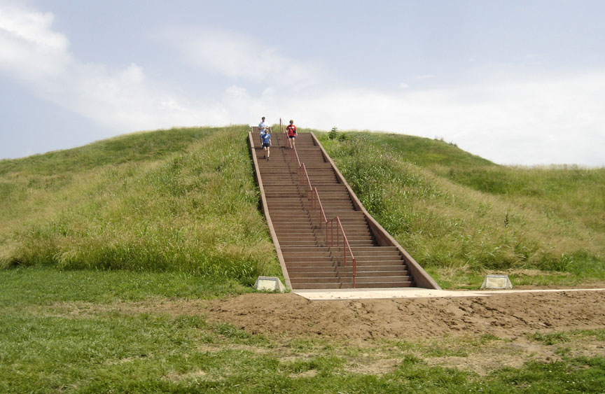
Excavation on the top of Monks Mound has revealed evidence of a large building,
likely a temple or the residence of the paramount chief, seen throughout the
city. This building was about 105 feet (32 m) long and 48 feet (15 m) wide, and
could have been as much as 50 feet (15 m) high. It was about 5000 square feet.
The east and northwest sides of Monks Mound were twice excavated in August 2007
during an attempt to avoid erosion due to slumping.
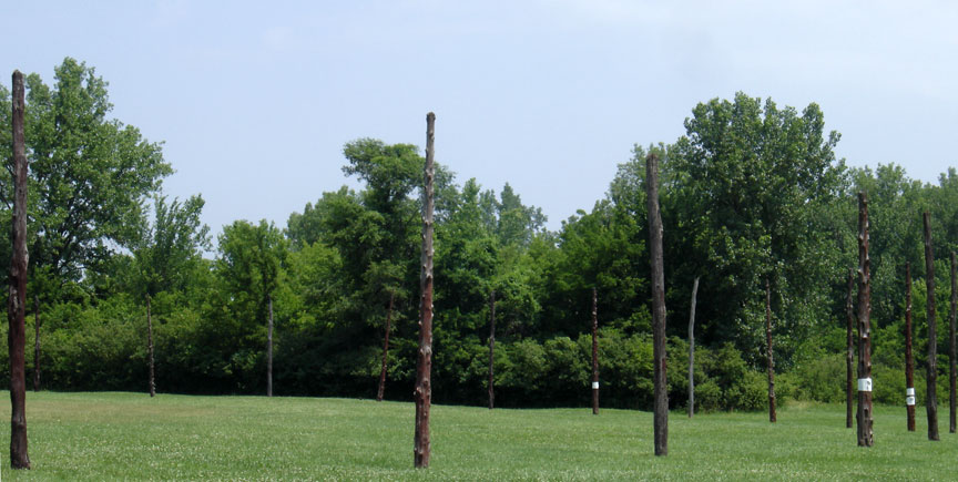
The reconstructed Woodhenge erected in 1985.
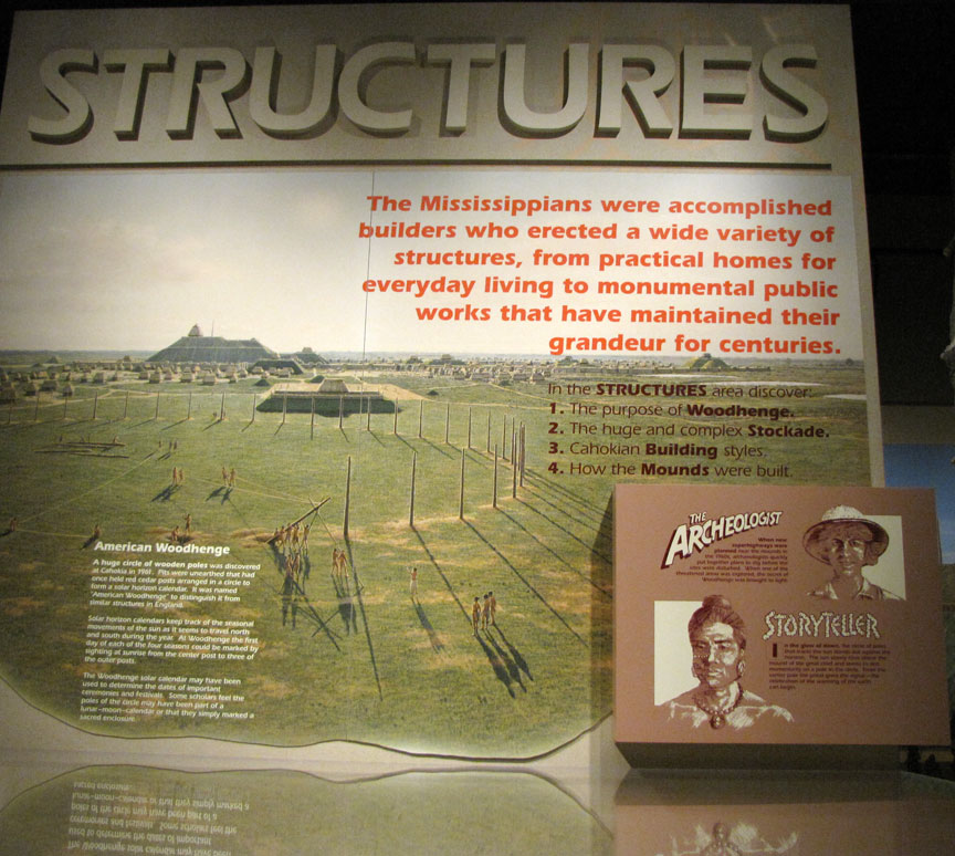
Woodhenge, a circle of posts used to make astronomical sightings, stood to the west of Monk's Mound. Archaeologists discovered Woodhenge during excavation of the site and noted that the placement of posts marked solstices and equinoxes, like its namesake, Stonehenge. Detailed analytical work supports the hypothesis that the placement of these posts was by design. The structure was rebuilt several times during the urban center's roughly 300-year history. Evidence of another Woodhenge was discovered near Mound 72, to the south of Monks Mound.
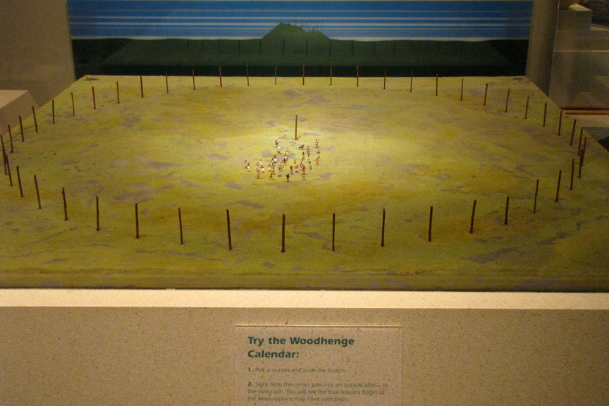
According to Chappell, "A beaker found in a pit near the winter solstice
post bore a circle and cross symbol that for many Native Americans symbolizes
the Earth and the four cardinal directions. Radiating lines probably symbolized
the sun, as they have in countless other civilizations." (Cahokia's Woodhenge is not to be confused with another site of the same name that exists
in the United Kingdom).
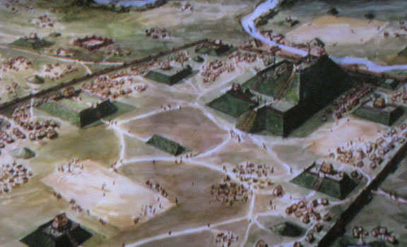
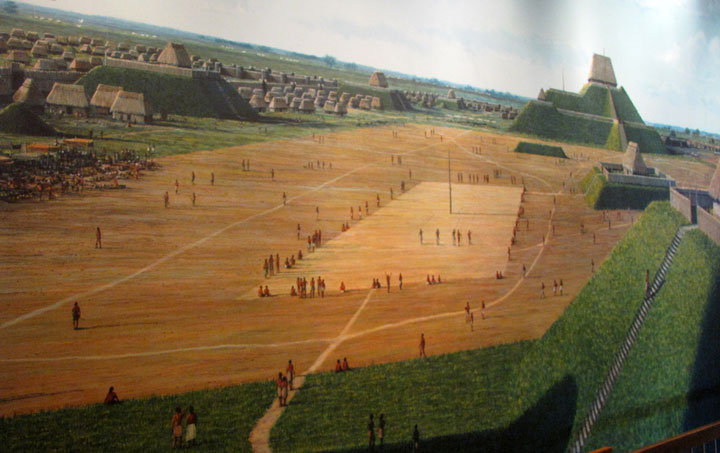
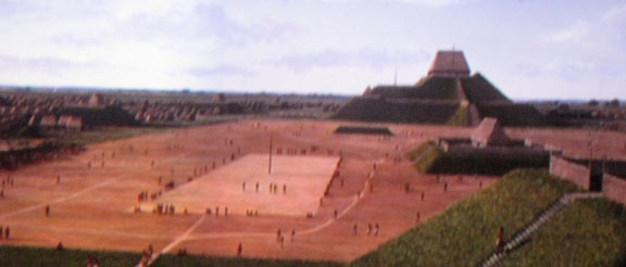
A 19-hectare (190,000 m²) Grand Plaza spreads out to the south of Monk's Mound.
Researchers originally thought the flat, open terrain in this area reflected
Cahokia's location on the Mississippi's alluvial flood plain. Instead, their
soil studies showed that the landscape was originally undulating. It had been
expertly and deliberately leveled and filled by the city's inhabitants. It is
part of the sophisticated engineering displayed throughout the site. The Grand
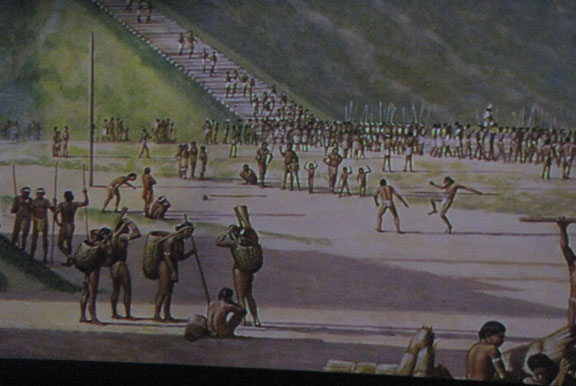
Plaza of Cahokia measured 40 acres (16 ha). It was used for large ceremonies and
gatherings, as well as for ritual games, such as chunkey. Along with the Grand
Plaza to the south, three other very large plazas surround Monks Mound in the
cardinal directions to the east, west, and north.
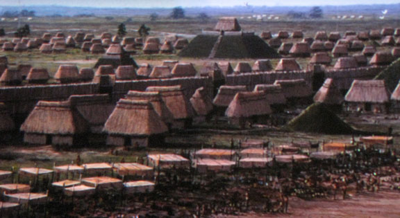
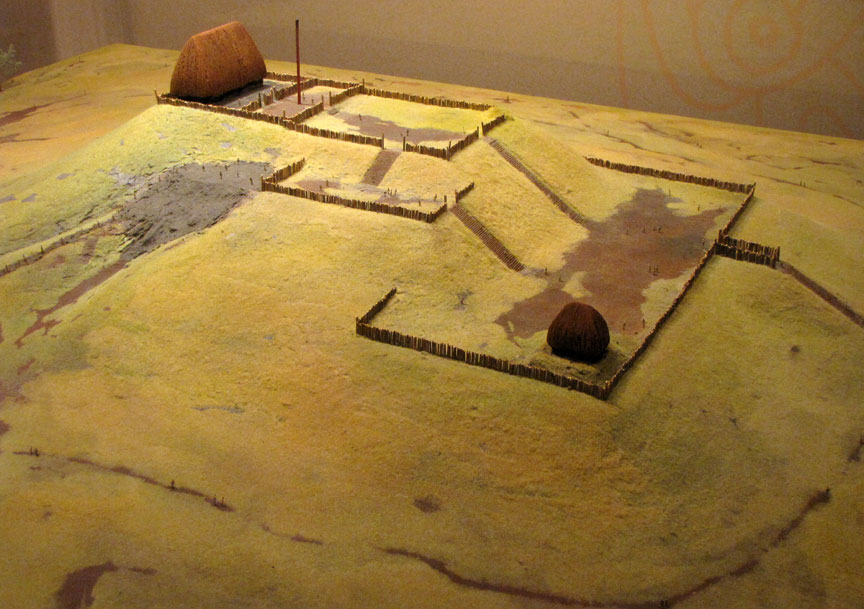
A wooden stockade with a series of defensive bastions or watchtowers at regular
intervals formed a two-mile (3 km)-long enclosure around Monks Mound, the Grand
Plaza, and some of the elite residences. Archaeologists found evidence of the
stockade during excavation of the area and indications that it was rebuilt
several times. The stockade separated Cahokia's main ceremonial precinct from
other parts of the city. Its bastions showed that it was also built for defense.
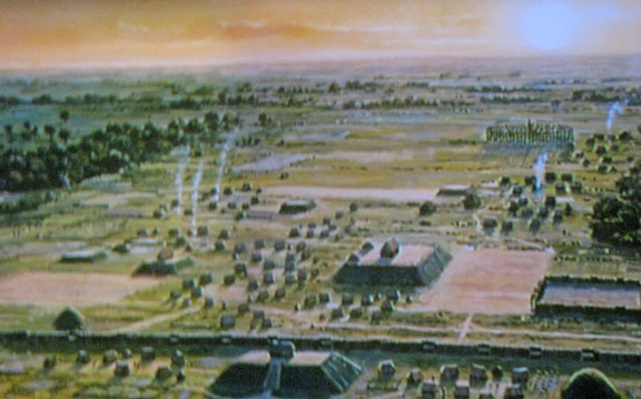
Beyond Monks Mound, as many as 120 more mounds stood at varying distances from
the city center. To date, 109 mounds have been located, 68 of which are in the
park area. The mounds are divided into several different types: platform,
conical, ridge-top, etc.. Each appeared to have had its own meaning and
function. In general terms, the city center seems to have been laid out in a
diamond-shaped pattern approximately a mile (1.6 km) from end to end, while the
entire city is five miles (8 km) across from east to west.
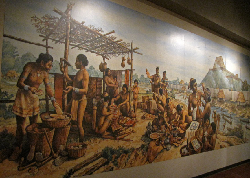
Cahokia was the most important center for the peoples known today as
Mississippians. Their settlements ranged across what is now the Midwest,
Eastern, and Southeastern United States. Cahokia was located in a strategic
position near the confluence of the Mississippi, Missouri and Illinois rivers.
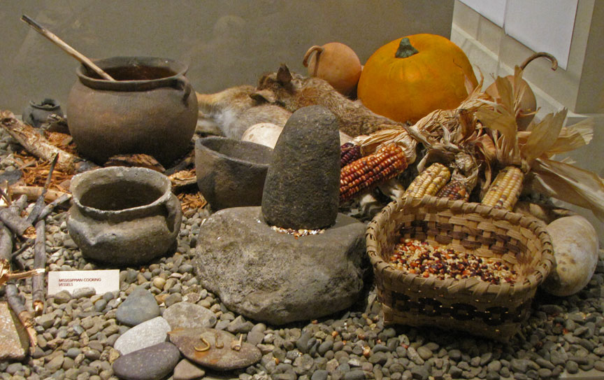
It maintained trade links with communities as far away as the Great Lakes to the
north and the Gulf Coast to the south. Pottery and stone tools in the Cahokian
style were found at the Silvernale site near Red Wing, Minnesota, and materials
and trade goods from Pennsylvania, the Gulf Coast and Lake Superior have been
excavated at Cahokia.
At the high point of its development, Cahokia was the largest urban center north
of the great Mesoamerican cities in Mexico. Although it was home to only about
1,000 people before ca. 1050, its population grew explosively after that date.
Archaeologists estimate the city's population at between 8,000 and 40,000 at its
peak, with more people living in outlying farming villages that supplied the
main urban center. In 1250, its population was larger than that of London,
England.
If the highest population estimates are correct, Cahokia was larger than any
subsequent city in the United States until about 1800, when Philadelphia's
population grew beyond 40,000.
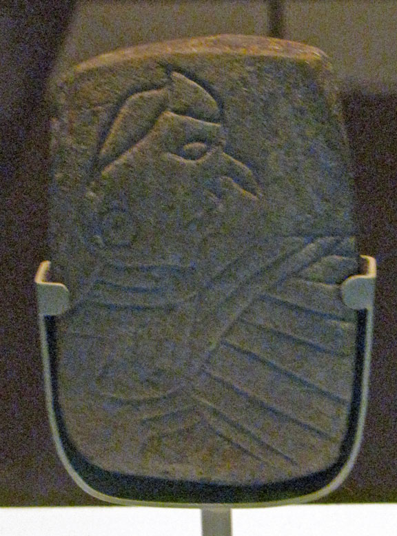
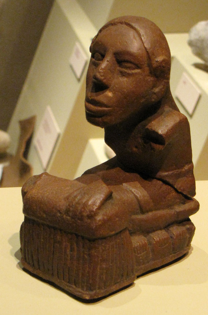
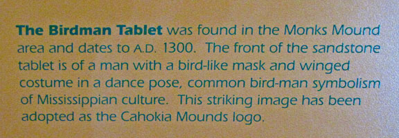
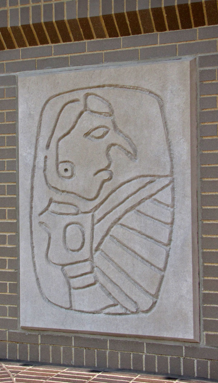
A Southeastern Ceremonial Complex image of a falcon dancer or
birdman.
Based on a shell engraving from Spiro, Oklahoma. Digital illustration by the
artist H. Roe.
During excavation of Mound 72, a ridge-top burial mound south of Monk's Mound, archaeologists found the remains of a man in his 40s who was probably an important Cahokian ruler. The man was buried on a bed of more than 20,000 marine-shell disc beads arranged in the shape of a falcon, with the bird's head appearing beneath and beside the man's head, and its wings and tail beneath his arms and legs. The falcon warrior or "birdman" is a common motif in Mississippian culture. This burial clearly had powerful iconographic significance. In addition, a cache of sophisticated, finely worked arrowheads in a variety of different styles and materials was found near the grave of this important man. Separated into four types, each from a different geographical region, the arrowheads demonstrated Cahokia's extensive trade links in North America.
Archeologists recovered more than 250 other skeletons from Mound 72. Scholars
believe almost 62 percent of these were sacrificial victims, based on signs of
ritual execution, method of burial, and other factors. The skeletons include a
mass burial containing 40 men and women who appear to have been violently
killed. The suggestion has been made that some of these were buried alive: "From
the vertical position of some of the fingers, which appear to have been digging
in the sand, it is apparent that not all of the victims were dead when they were
interred - that some had been trying to pull themselves out of the mass of
bodies."
The relationship of these burials to the central burial is unclear. It is
unlikely that they were all deposited at the same time. Wood in several parts of
the mound has been radiocarbon-dated to between 950 and 1000 C.E.
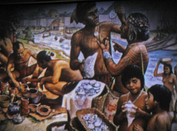
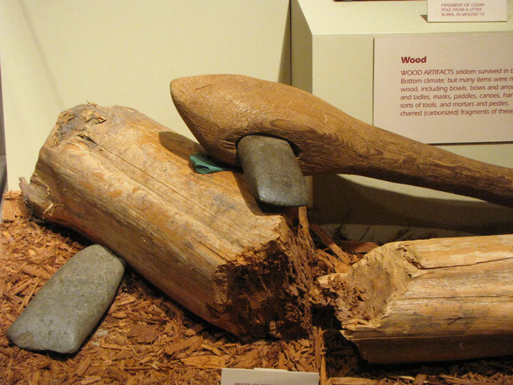
Excavations near Mound 34 from 2002-2010 have revealed a copper workshop. It is
the only known copper workshop from the Mississippian-era. Artisans worked here
to produce religious items, such as earrings of symbolic shape, probably for use
at Cahokia. The area contains the remains of tree stumps likely used to hold
anvil stones. Analysis of the copper found that it had been heated and annealed.
Cahokia began to decline after 1300. It was abandoned more than a century before
Europeans arrived in North America in the early 1500s, and the area around it
was largely uninhabited by indigenous tribes. Scholars have proposed
environmental factors such as over-hunting and deforestation as explanations.
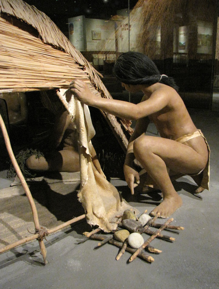
The houses, stockade, and residential and industrial fires would have required
the annual harvesting of thousands of logs. In addition, climate change could
have aggravated effects of erosion due to deforestation, and adversely affected
the cultivation of maize, on which the community had depended.
Another possible cause is invasion by outside peoples, though the only evidence
of warfare found so far is the wooden stockade and watchtowers that enclosed
Cahokia's main ceremonial precinct. Due to the lack of other evidence for
warfare, the palisade appears to have been more for ritual or formal separation
than for military purposes. Diseases transmitted among the large, dense urban
population are another possible cause of decline. Many recent theories propose
conquest-induced political collapse as the primary reason for Cahokia’s
abandonment.
Text from Wikipedia
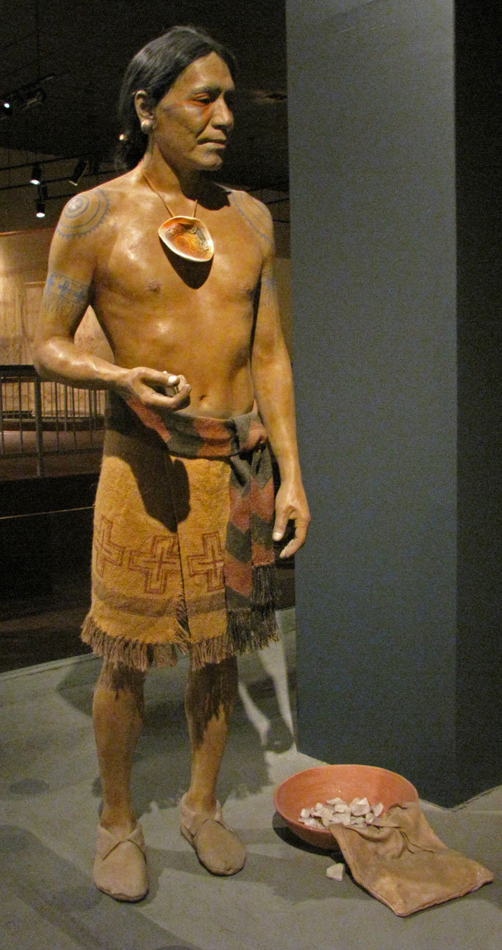
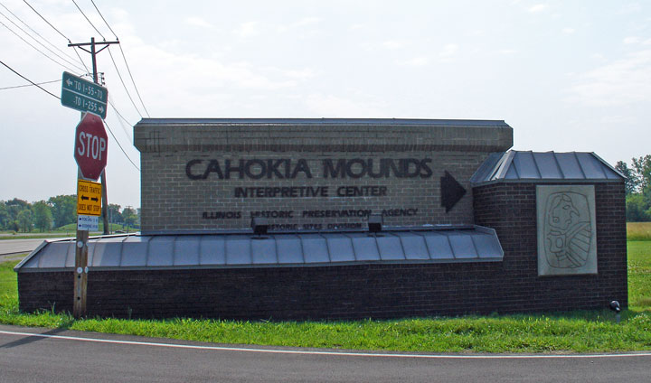
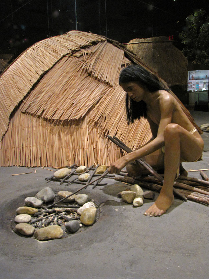
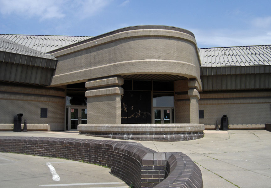
the Museum
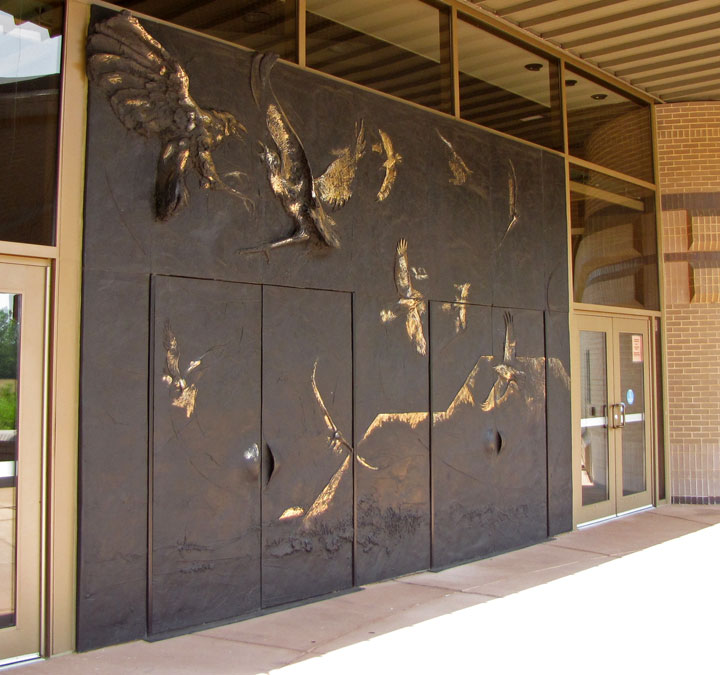
doors designed by Preston Jackson of Peoria
a mound
Monks mound
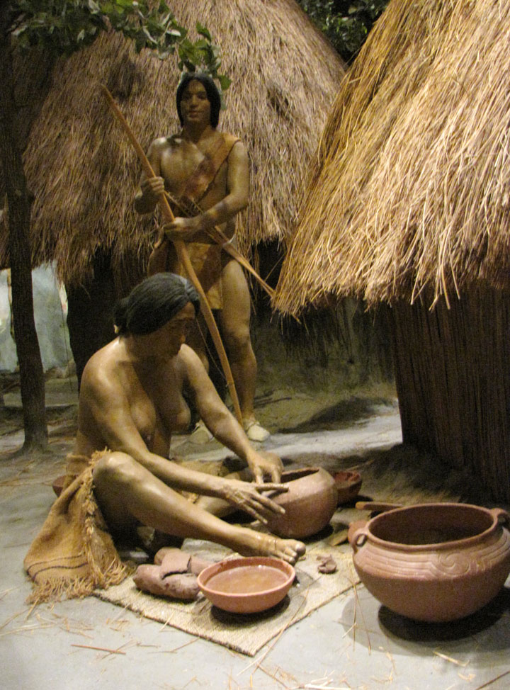
from the Auditorium Presentation